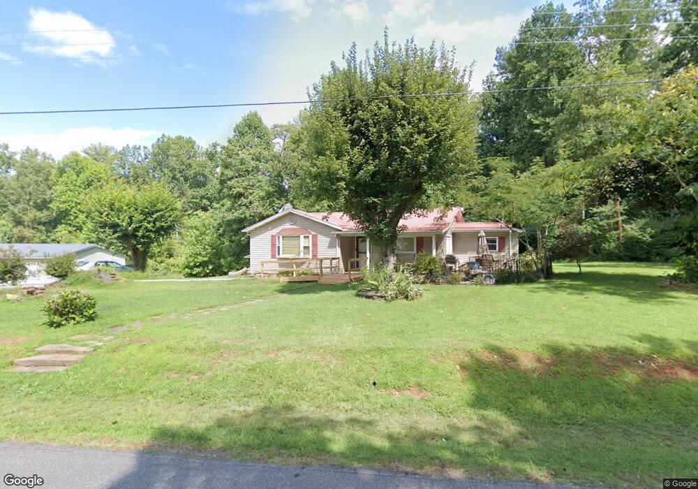
1156 Avery Rd Morganton, NC 28655
Estimated Value: $181,083 - $255,000
About This Home
This home is located at 1156 Avery Rd, Morganton, NC 28655 and is currently estimated at $219,271, approximately $167 per square foot. 1156 Avery Rd is a home located in Burke County with nearby schools including Oak Hill Elementary School, Table Rock Middle School, and Freedom High School.
Ownership History
We collect this data history from publicly available records. To have your information removed, we recommend requesting removal directly through your county’s website.
Purchase Details
Home Financials for this Owner
Home Financials are based on the most recent Mortgage that was taken out on this home.Home Values in the Area
Average Home Value in this Area
Purchase History
We collect this data history from publicly available records. To have your information removed, we recommend requesting removal directly through your county’s website.
| Date | Buyer | Sale Price | Title Company |
|---|---|---|---|
| -- | None Available |
Mortgage History
We collect this data history from publicly available records. To have your information removed, we recommend requesting removal directly through your county’s website.
| Date | Status | Borrower | Loan Amount |
|---|---|---|---|
| Closed | $72,000 |
Tax History
We collect this data history from publicly available records. To have your information removed, we recommend requesting removal directly through your county’s website.
| Year | Tax Paid | Tax Assessment Tax Assessment Total Assessment is a certain percentage of the fair market value that is determined by local assessors to be the total taxable value of land and additions on the property. | Land | Improvement |
|---|---|---|---|---|
| 2025 | $610 | $81,622 | $3,960 | $77,662 |
| 2024 | $610 | $81,622 | $3,960 | $77,662 |
| 2023 | $610 | $81,622 | $3,960 | $77,662 |
| 2022 | $500 | $53,303 | $2,880 | $50,423 |
| 2021 | $494 | $53,303 | $2,880 | $50,423 |
| 2020 | $490 | $53,303 | $2,880 | $50,423 |
| 2019 | $490 | $53,303 | $2,880 | $50,423 |
| 2018 | $491 | $53,382 | $2,880 | $50,502 |
| 2017 | $489 | $53,382 | $2,880 | $50,502 |
| 2016 | $476 | $53,382 | $2,880 | $50,502 |
| 2015 | $473 | $53,382 | $2,880 | $50,502 |
| 2014 | $472 | $53,382 | $2,880 | $50,502 |
| 2013 | $466 | $53,382 | $2,880 | $50,502 |
Map
- 3026 Coventry Dr
- 1488 Watermill Rd
- 1320 Tom Fox St
- 1446 Bridlewood Ln
- 3666 Grandview Dr
- 3680 Grandview Dr
- 1156 Oak Forest Dr
- 1102 Allman Ridge Rd
- 1694 Roy Caldwell St
- 1088 Faith Ct
- 1095 Faith Ct
- 1080 Faith Ct
- 1096 Faith Ct
- 2119 South Rd
- 105 Horse Shoe Ln
- 2086 Paddock Cir
- 2086 Warrior Fork Trail
- 2151 River Bend Ln
- 4322 Kirby Dr
- 152 Eagles Landing
- 1170 Avery Rd
- 1171 Avery Rd
- 1186 Avery Rd
- 1198 Avery Rd
- 3065 Frank Whisnant Rd
- 1135 Avery Rd
- 1115 Avery Rd
- 3006 Frank Whisnant Rd
- 2990 Frank Whisnant Rd
- 1224 Avery Rd
- 1213 Avery Rd
- 2977 Frank Whisnant Rd
- 3073 Frank Whisnant Rd
- 3119 Frank Whisnant Rd
- 2926 Frank Whisnant Rd Unit 2928
- 2976 Frank Whisnant Rd
- 1235 Avery Rd
- 2965 Wild Blue Ln
- 2955 Frank Whisnant Rd
- 2975 Wild Blue Ln
Ask me questions while you tour the home.