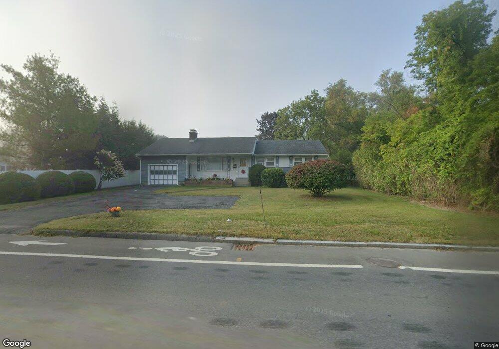
1156 State Rd North Adams, MA 01247
Estimated Value: $200,000 - $335,000
3
Beds
2
Baths
1,946
Sq Ft
$142/Sq Ft
Est. Value
About This Home
This home is located at 1156 State Rd, North Adams, MA 01247 and is currently estimated at $276,857, approximately $142 per square foot. 1156 State Rd is a home located in Berkshire County with nearby schools including Greylock Elementary School, Drury High School, and Pine Cobble School.
Ownership History
Date
Name
Owned For
Owner Type
Purchase Details
Closed on
Sep 16, 2013
Sold by
Birkland J M
Bought by
Serre Shawn T
Current Estimated Value
Purchase Details
Closed on
May 1, 1998
Sold by
Varuzzo Rosa
Bought by
Birkland Bernard K and Birkland Marilyn J
Purchase Details
Closed on
Jun 12, 1991
Sold by
Maino Arthur J and Maino Mabel G
Bought by
Varuzzo Louis and Varuzzo Rosa
Purchase Details
Closed on
Sep 11, 1989
Sold by
Varuzzo Louis
Bought by
Maine Arthur J
Create a Home Valuation Report for This Property
The Home Valuation Report is an in-depth analysis detailing your home's value as well as a comparison with similar homes in the area
Home Values in the Area
Average Home Value in this Area
Purchase History
| Date | Buyer | Sale Price | Title Company |
|---|---|---|---|
| Serre Shawn T | -- | -- | |
| Birkland Bernard K | $118,000 | -- | |
| Varuzzo Louis | $127,000 | -- | |
| Maine Arthur J | $123,000 | -- | |
| Serre Shawn T | -- | -- | |
| Birkland Bernard K | $118,000 | -- | |
| Varuzzo Louis | $127,000 | -- | |
| Maine Arthur J | $123,000 | -- |
Source: Public Records
Mortgage History
| Date | Status | Borrower | Loan Amount |
|---|---|---|---|
| Previous Owner | Maine Arthur J | $70,000 | |
| Previous Owner | Maine Arthur J | $67,000 |
Source: Public Records
Tax History
| Year | Tax Paid | Tax Assessment Tax Assessment Total Assessment is a certain percentage of the fair market value that is determined by local assessors to be the total taxable value of land and additions on the property. | Land | Improvement |
|---|---|---|---|---|
| 2025 | $3,802 | $227,500 | $34,100 | $193,400 |
| 2024 | $3,569 | $208,200 | $31,200 | $177,000 |
| 2023 | $3,504 | $198,300 | $31,200 | $167,100 |
| 2022 | $3,158 | $170,400 | $31,200 | $139,200 |
| 2021 | $2,935 | $157,700 | $28,900 | $128,800 |
| 2020 | $2,841 | $152,600 | $28,700 | $123,900 |
| 2019 | $2,712 | $141,900 | $28,700 | $113,200 |
| 2018 | $2,595 | $141,200 | $30,200 | $111,000 |
| 2017 | $2,472 | $139,900 | $29,900 | $110,000 |
| 2016 | $2,395 | $137,700 | $29,900 | $107,800 |
| 2015 | $2,377 | $142,400 | $31,000 | $111,400 |
Source: Public Records
Map
Nearby Homes
- 100 N Hoosac Rd
- 0 Holly Ln
- 108 Berkshire Dr
- 204 Longview Terrace
- 189 Stratton Rd
- 189 Stratton Rd Unit H1
- 16 Windflower Way
- 34 Thistle Path
- 17 Phelps Ave
- 1 State Rd
- 520 State Rd Unit 207
- 520 State Rd Unit 402
- 520 State Rd Unit 208
- 87 Maple St
- 505 Barbour St
- 542 Water St
- 160 Water St Unit 209
- 160 Water St Unit 309
- 160 Water St Unit 23
- 160 Water St Unit 103
Your Personal Tour Guide
Ask me questions while you tour the home.