11579 Ranchwood Wc 3215 Rd Prairie Grove, AR 72753
3
Beds
2
Baths
2,395
Sq Ft
2
Acres
About This Home
This home is located at 11579 Ranchwood Wc 3215 Rd, Prairie Grove, AR 72753. 11579 Ranchwood Wc 3215 Rd is a home located in Washington County with nearby schools including Prairie Grove Elementary School, Prairie Grove Middle School, and Prairie Grove Junior High School.
Ownership History
Date
Name
Owned For
Owner Type
Purchase Details
Closed on
Mar 27, 2020
Sold by
Pitts Cynthia and Pitts Kenneth
Bought by
Kersey Amy Cherith
Home Financials for this Owner
Home Financials are based on the most recent Mortgage that was taken out on this home.
Original Mortgage
$289,656
Outstanding Balance
$260,083
Interest Rate
4.37%
Mortgage Type
FHA
Purchase Details
Closed on
May 18, 2018
Sold by
Maddox Jerry Lee and Maddox Jill Louise
Bought by
Pitts Cynthia and Pitts Kenneth
Home Financials for this Owner
Home Financials are based on the most recent Mortgage that was taken out on this home.
Original Mortgage
$105,000
Interest Rate
4.4%
Mortgage Type
New Conventional
Create a Home Valuation Report for This Property
The Home Valuation Report is an in-depth analysis detailing your home's value as well as a comparison with similar homes in the area
Home Values in the Area
Average Home Value in this Area
Purchase History
| Date | Buyer | Sale Price | Title Company |
|---|---|---|---|
| Kersey Amy Cherith | $295,000 | City Title & Closing Llc | |
| Pitts Cynthia | $262,000 | Waco Title Co |
Source: Public Records
Mortgage History
| Date | Status | Borrower | Loan Amount |
|---|---|---|---|
| Open | Kersey Amy Cherith | $289,656 | |
| Previous Owner | Pitts Cynthia | $105,000 |
Source: Public Records
Tax History Compared to Growth
Tax History
| Year | Tax Paid | Tax Assessment Tax Assessment Total Assessment is a certain percentage of the fair market value that is determined by local assessors to be the total taxable value of land and additions on the property. | Land | Improvement |
|---|---|---|---|---|
| 2025 | $2,084 | $76,510 | $14,030 | $62,480 |
| 2024 | $2,101 | $76,510 | $14,030 | $62,480 |
| 2023 | $2,137 | $76,510 | $14,030 | $62,480 |
| 2022 | $2,116 | $49,810 | $7,940 | $41,870 |
| 2021 | $2,116 | $49,810 | $7,940 | $41,870 |
| 2020 | $1,765 | $49,810 | $7,940 | $41,870 |
| 2019 | $1,782 | $42,660 | $6,520 | $36,140 |
| 2018 | $1,807 | $42,660 | $6,520 | $36,140 |
| 2017 | $1,736 | $42,660 | $6,520 | $36,140 |
| 2016 | $1,786 | $42,660 | $6,520 | $36,140 |
| 2015 | $1,786 | $42,660 | $6,520 | $36,140 |
| 2014 | $1,732 | $41,550 | $7,770 | $33,780 |
Source: Public Records
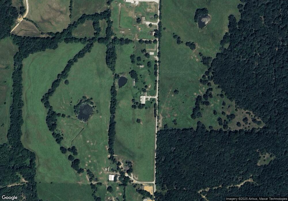
Map
Nearby Homes
- 11476 Centerpoint Church Rd
- 12292 Butler Rd
- 0 Pine Tree Rd
- 12283 Pine Tree Rd
- 571 Shepherd St
- 561 Shepherd St
- 531 Mac St
- 570 Shepherd St
- 981 Sagely St
- 521 Shepherd St
- 591 Mac St
- 581 Mac St
- 511 Shepherd St
- 571 Mac St
- 12330 Centerpoint Church Rd
- 540 Mac St
- 551 Mac St
- 590 Shepherd St
- Bellvue Plan at Selah Meadows
- Bryant Plan at Selah Meadows
- 11579 Ranchwood Rd
- 11485 Ranchwood Rd
- 11347 Ranchwood Rd
- 11349 Ranchwood Rd
- 50 AC Ranchwood Rd
- 71 AC Ranchwood Rd
- 11252 Rare Valley Rd
- 11201 Rare Valley Rd
- 10 AC Rare Valley Rd
- 11756 Ranchwood Rd
- 12687 Butler Rd
- 12839 Butler Rd
- 11560 Centerpoint Church Rd
- TBD (77 ac. mol) Centerpoint Church Rd
- 12875 Butler Rd
- 13077 Peppermint Rd
- 11993 Ranchwood Rd
- 11317 Rustling Oaks Rd
- 11556 Centerpoint Church Rd
- 12940 Butler Rd