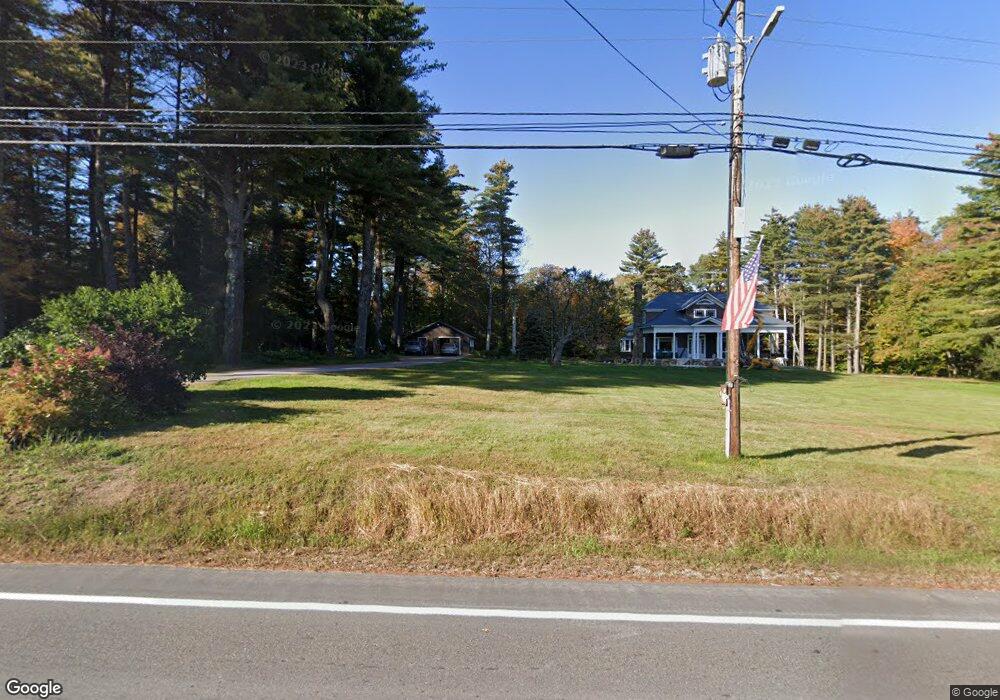
1158 Route 123 N Stoddard, NH 03464
Estimated Value: $536,000 - $875,000
--
Bed
2
Baths
2,360
Sq Ft
$324/Sq Ft
Est. Value
About This Home
This home is located at 1158 Route 123 N, Stoddard, NH 03464 and is currently estimated at $764,529, approximately $323 per square foot. 1158 Route 123 N is a home with nearby schools including James Faulkner Elementary School, Mayland Early College High School, and Keene High School.
Ownership History
Date
Name
Owned For
Owner Type
Purchase Details
Closed on
Jan 20, 2022
Sold by
Stymest Mary Lou Est and Stymest
Bought by
J J & S Z Downing Ret and Downing
Current Estimated Value
Home Financials for this Owner
Home Financials are based on the most recent Mortgage that was taken out on this home.
Original Mortgage
$573,750
Outstanding Balance
$526,614
Interest Rate
3.11%
Mortgage Type
Purchase Money Mortgage
Estimated Equity
$237,915
Create a Home Valuation Report for This Property
The Home Valuation Report is an in-depth analysis detailing your home's value as well as a comparison with similar homes in the area
Home Values in the Area
Average Home Value in this Area
Purchase History
| Date | Buyer | Sale Price | Title Company |
|---|---|---|---|
| J J & S Z Downing Ret | $675,000 | None Available |
Source: Public Records
Mortgage History
| Date | Status | Borrower | Loan Amount |
|---|---|---|---|
| Open | J J & S Z Downing Ret | $573,750 |
Source: Public Records
Tax History Compared to Growth
Tax History
| Year | Tax Paid | Tax Assessment Tax Assessment Total Assessment is a certain percentage of the fair market value that is determined by local assessors to be the total taxable value of land and additions on the property. | Land | Improvement |
|---|---|---|---|---|
| 2024 | $7,992 | $679,610 | $152,500 | $527,110 |
| 2023 | $6,723 | $395,950 | $99,820 | $296,130 |
| 2022 | $6,466 | $395,950 | $99,820 | $296,130 |
| 2021 | $6,565 | $396,180 | $100,050 | $296,130 |
| 2020 | $6,498 | $396,000 | $99,870 | $296,130 |
| 2019 | $5,980 | $396,000 | $99,870 | $296,130 |
| 2018 | $5,902 | $345,600 | $87,870 | $257,730 |
| 2016 | $5,181 | $345,630 | $87,900 | $257,730 |
| 2014 | $5,498 | $345,550 | $87,820 | $257,730 |
| 2013 | $5,546 | $352,340 | $99,870 | $252,470 |
Source: Public Records
Map
Nearby Homes
- 15 Deadbrook Rd
- 1025 Route 123 N
- 1018 Route 123 N
- 16 Stone Rd
- 61 Old Antrim Rd
- 114 Eva Ln
- 00 Kennedy Brook Dr Unit 11
- 00 Scenic Dr Unit 22
- 321 Route 123 N
- 906 Shedd Hill Rd
- M111 L24&25 Tigola Trail
- 116 Beaver Lake Dr
- 42-11 Route 9
- 0 Juniper Hill Rd Unit 5051120
- 2167 Valley Rd
- 2 Lookout Point Rd
- 00 Old County Rd Unit 13
- 0 Old Stoddard Rd
- 22 Lakeview Terrace
- 162 Rocky Ledge Rd
- 1169 Route 123 N
- 35 Anderson Rd
- 1171 Route 123 N
- 1078 Route 123 N
- 11 Anderson Rd
- 51 Anderson Rd
- 63 Anderson Rd
- 28 Anderson Rd
- 40 Anderson Rd
- M127L25 Anderson Rd
- M127 L26 Anderson Rd
- 154 Anderson Rd
- 4 Penny Ln
- 43 Brook Dr
- 46 Anderson Rd
- 2 Brook Dr
- 33 Brook Dr
- 1169 New Hampshire 123
- 15 Brook Dr
- 15 Penny Ln