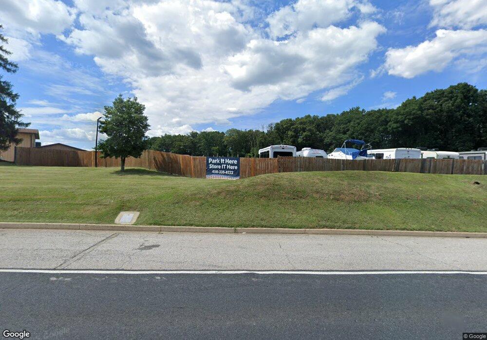
11580 Pulaski Hwy White Marsh, MD 21162
Estimated Value: $5,056,088
--
Bed
--
Bath
20,760
Sq Ft
$244/Sq Ft
Est. Value
About This Home
This home is located at 11580 Pulaski Hwy, White Marsh, MD 21162 and is currently estimated at $5,056,088, approximately $243 per square foot. 11580 Pulaski Hwy is a home located in Baltimore County with nearby schools including Vincent Farm Elementary, Perry Hall Middle School, and Perry Hall High School.
Ownership History
Date
Name
Owned For
Owner Type
Purchase Details
Closed on
Jan 14, 2022
Sold by
Oasis Storage Llc
Bought by
Pulaski Highway Partners Llc
Current Estimated Value
Purchase Details
Closed on
Oct 10, 2013
Sold by
Brandau Micheaux C and Brandau Carol A
Bought by
Oasis Storage Llc
Purchase Details
Closed on
May 6, 2009
Sold by
Mathews Herbert G
Bought by
Brandau Micheaux C and Brandau Carol A
Purchase Details
Closed on
Sep 15, 2003
Sold by
Mathews Herbert G
Bought by
Mathews Herbert G
Create a Home Valuation Report for This Property
The Home Valuation Report is an in-depth analysis detailing your home's value as well as a comparison with similar homes in the area
Home Values in the Area
Average Home Value in this Area
Purchase History
| Date | Buyer | Sale Price | Title Company |
|---|---|---|---|
| Pulaski Highway Partners Llc | $4,515,000 | Commonwealth Land Title | |
| Oasis Storage Llc | -- | None Available | |
| Brandau Micheaux C | $1,700,000 | -- | |
| Mathews Herbert G | -- | -- |
Source: Public Records
Tax History Compared to Growth
Tax History
| Year | Tax Paid | Tax Assessment Tax Assessment Total Assessment is a certain percentage of the fair market value that is determined by local assessors to be the total taxable value of land and additions on the property. | Land | Improvement |
|---|---|---|---|---|
| 2025 | $25,117 | $2,247,700 | -- | -- |
| 2024 | $25,117 | $1,891,300 | $793,900 | $1,097,400 |
| 2023 | $12,585 | $1,889,200 | $0 | $0 |
| 2022 | $24,913 | $1,887,100 | $0 | $0 |
| 2021 | $24,887 | $1,885,000 | $793,900 | $1,091,100 |
| 2020 | $24,537 | $1,838,967 | $0 | $0 |
| 2019 | $21,730 | $1,792,933 | $0 | $0 |
| 2018 | $23,214 | $1,746,900 | $793,900 | $953,000 |
| 2017 | $25,098 | $1,728,667 | $0 | $0 |
| 2016 | $20,203 | $1,710,433 | $0 | $0 |
| 2015 | $20,203 | $1,692,200 | $0 | $0 |
| 2014 | $20,203 | $1,668,033 | $0 | $0 |
Source: Public Records
Map
Nearby Homes
- 11604 Jerome Ave
- 11721 Hamilton Place
- 5717 Station Rd
- 5733 Allender Rd
- 11723A Hamilton Place
- 5662 Gunpowder Rd
- 11572 Autumn Terrace Dr
- 5703 Allender Rd
- 11345 Pulaski Hwy
- 5625 Crescent Ridge Dr
- 5619 Harvey Ct
- Abigail Plan at Vista Reserve
- 11268 Davisar Rd Unit 84
- 11279 Davisar Rd Unit 111
- 11277 Davisar Rd Unit 110
- 11540 Philadelphia Rd Unit 5
- 5850 Monk Ave
- 11404 Smiloff Rd
- 5603 Overlook Ct
- 5506 Madge Ct
- 11554 Pulaski Hwy
- 11548 Pulaski Hwy
- 6200 Days Cove Rd Unit 14
- 6200 Days Cove Rd
- 5807 Railroad Ave
- LOT Railroad Ave
- 0 Railroad Ave Unit 1000250230
- 0 Railroad Ave Unit BC10176018
- 0 Railroad Ave Unit MDBC2044530
- 0 Railroad Ave Unit MDBC488712
- 0 Railroad Ave Unit MDBC459116
- 5807 Mimosa Ln
- 5803 Railroad Ave
- 5805 Railroad Ave
- 5805 Mimosa Ln
- 5817 Carrington Dr
- 11611 Jerome Ave
- 5811 Carrington Dr
- 5803 Mimosa Ln
- 5819 Carrington Dr