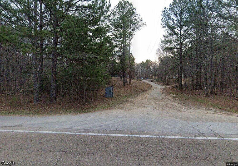
11584 Highway 641 N Holladay, TN 38341
Estimated Value: $156,000 - $315,000
--
Bed
2
Baths
3,000
Sq Ft
$79/Sq Ft
Est. Value
About This Home
This home is located at 11584 Highway 641 N, Holladay, TN 38341 and is currently estimated at $237,350, approximately $79 per square foot. 11584 Highway 641 N is a home located in Decatur County with nearby schools including Parsons Elementary School, Decaturville Elementary School, and Decatur County Middle School.
Ownership History
Date
Name
Owned For
Owner Type
Purchase Details
Closed on
Oct 5, 2015
Sold by
Currin Maxwell J
Bought by
Currin Maxwell J and Currin Robin L
Current Estimated Value
Home Financials for this Owner
Home Financials are based on the most recent Mortgage that was taken out on this home.
Original Mortgage
$123,094
Outstanding Balance
$97,790
Interest Rate
4.25%
Mortgage Type
FHA
Estimated Equity
$139,560
Purchase Details
Closed on
Nov 18, 2004
Sold by
Mid State Trust V
Bought by
Currin Maxwell J
Purchase Details
Closed on
Jul 18, 1997
Bought by
Mid State Trust V
Purchase Details
Closed on
Mar 24, 1994
Bought by
Peppers Gary and Peppers Teresa Kay
Create a Home Valuation Report for This Property
The Home Valuation Report is an in-depth analysis detailing your home's value as well as a comparison with similar homes in the area
Home Values in the Area
Average Home Value in this Area
Purchase History
| Date | Buyer | Sale Price | Title Company |
|---|---|---|---|
| Currin Maxwell J | -- | -- | |
| Currin Maxwell J | $65,000 | -- | |
| Mid State Trust V | $50,000 | -- | |
| Peppers Gary | $9,000 | -- |
Source: Public Records
Mortgage History
| Date | Status | Borrower | Loan Amount |
|---|---|---|---|
| Open | Currin Maxwell J | $123,094 |
Source: Public Records
Tax History Compared to Growth
Tax History
| Year | Tax Paid | Tax Assessment Tax Assessment Total Assessment is a certain percentage of the fair market value that is determined by local assessors to be the total taxable value of land and additions on the property. | Land | Improvement |
|---|---|---|---|---|
| 2025 | $1,130 | $93,175 | $0 | $0 |
| 2024 | $1,130 | $43,800 | $4,125 | $39,675 |
| 2023 | $1,130 | $43,800 | $4,125 | $39,675 |
| 2022 | $1,130 | $43,800 | $4,125 | $39,675 |
| 2021 | $1,130 | $43,800 | $4,125 | $39,675 |
| 2020 | $1,120 | $43,800 | $4,125 | $39,675 |
| 2019 | $891 | $39,600 | $4,125 | $35,475 |
| 2018 | $788 | $39,600 | $4,125 | $35,475 |
| 2017 | $788 | $39,600 | $4,125 | $35,475 |
| 2016 | $788 | $39,600 | $4,125 | $35,475 |
| 2015 | $788 | $39,600 | $4,125 | $35,475 |
| 2014 | $666 | $33,469 | $0 | $0 |
Source: Public Records
Map
Nearby Homes
- 151 Spence Store Loop
- 1303 Pugh Rd
- 1 Old State Highway 69
- 0 Spence Store Loop
- 680 Duck Rd
- 198 McIllwain Rd N
- 0 Interstate 40 Unit 241226
- 0 Old State Hwy Unit 10203794
- 1700 Conrad Ridge Rd
- Tract 5-6 Old Hwy 69
- Tract 3 Low Gap Rd
- 16045 Hwy 641 S
- Tract 1 Ray Miller Rd
- Tract 2 Ray Miller Rd
- 1 Gossett Rd
- 00 Old Hwy 69 & Hog Creek Rd
- 2850 Jeanette Holladay Rd
- 616 Old Sh 69
- 2442 Jeanette Holladay Rd
- 0 Horny Head Creek Rd
- 13500 Highway 641 N
- 11552 Highway 641 N
- 8048 Highway 641 N
- 13499 Highway 641 N
- 11442 Highway 641 N
- 11415 Highway 641 N
- 000 Highway 641 N
- 0 Highway 641 N
- 0 Highway 641 N
- 1 Highway 641 N
- 11295 Highway 641 N
- 642 Youal Gibson Rd
- 11287 Highway 641 N
- 821 Youal Gibson Rd
- 680 Youal Gibson Rd
- 734 Youal Gibson Rd
- 957 Youal Gibson Rd
- 958 Youal Gibson Rd
- 58 Edwards Loop
- 1071 Youal Gibson Rd
