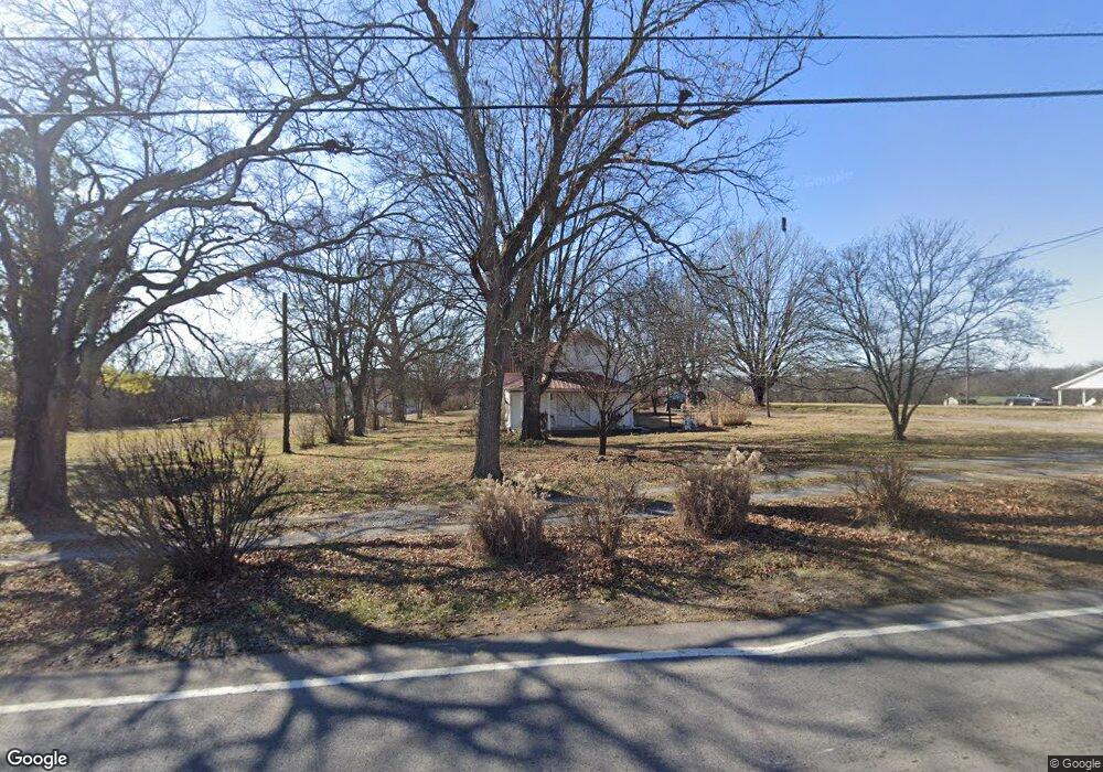
1159 Highway 25 Gallatin, TN 37066
Estimated Value: $306,780 - $434,000
--
Bed
1
Bath
1,514
Sq Ft
$228/Sq Ft
Est. Value
About This Home
This home is located at 1159 Highway 25, Gallatin, TN 37066 and is currently estimated at $345,695, approximately $228 per square foot. 1159 Highway 25 is a home located in Sumner County with nearby schools including Howard Elementary School, Rucker Stewart Middle School, and Station Camp High School.
Ownership History
Date
Name
Owned For
Owner Type
Purchase Details
Closed on
Aug 19, 2005
Sold by
Helson Management Co Llc
Bought by
Gregg Clovis F and Gregg Sharlene K
Current Estimated Value
Home Financials for this Owner
Home Financials are based on the most recent Mortgage that was taken out on this home.
Original Mortgage
$105,000
Outstanding Balance
$54,839
Interest Rate
5.57%
Mortgage Type
Seller Take Back
Estimated Equity
$290,857
Purchase Details
Closed on
Jan 7, 2005
Sold by
Coker Nellie Gray
Bought by
Helson Management Co Llc
Home Financials for this Owner
Home Financials are based on the most recent Mortgage that was taken out on this home.
Original Mortgage
$105,000
Interest Rate
5.63%
Mortgage Type
Unknown
Purchase Details
Closed on
Mar 30, 2004
Sold by
Coker Charles Allen
Bought by
Coker Nellie
Create a Home Valuation Report for This Property
The Home Valuation Report is an in-depth analysis detailing your home's value as well as a comparison with similar homes in the area
Home Values in the Area
Average Home Value in this Area
Purchase History
| Date | Buyer | Sale Price | Title Company |
|---|---|---|---|
| Gregg Clovis F | $110,000 | -- | |
| Helson Management Co Llc | $105,000 | -- | |
| Coker Nellie | -- | -- | |
| Coker Nellie Gray | -- | -- |
Source: Public Records
Mortgage History
| Date | Status | Borrower | Loan Amount |
|---|---|---|---|
| Open | Gregg Clovis F | $105,000 | |
| Previous Owner | Helson Management Co Llc | $105,000 |
Source: Public Records
Tax History Compared to Growth
Tax History
| Year | Tax Paid | Tax Assessment Tax Assessment Total Assessment is a certain percentage of the fair market value that is determined by local assessors to be the total taxable value of land and additions on the property. | Land | Improvement |
|---|---|---|---|---|
| 2024 | $912 | $64,150 | $22,500 | $41,650 |
| 2023 | $896 | $39,800 | $15,025 | $24,775 |
| 2022 | $900 | $39,800 | $15,025 | $24,775 |
| 2021 | $900 | $39,800 | $15,025 | $24,775 |
| 2020 | $900 | $39,800 | $15,025 | $24,775 |
| 2019 | $900 | $0 | $0 | $0 |
| 2018 | $693 | $0 | $0 | $0 |
| 2017 | $693 | $0 | $0 | $0 |
| 2016 | $693 | $0 | $0 | $0 |
| 2015 | -- | $0 | $0 | $0 |
| 2014 | -- | $0 | $0 | $0 |
Source: Public Records
Map
Nearby Homes
- 3023 Duvall Dr
- 559 Becks Place
- 638 Wassil Dr
- 281 Grassy Glen Dr
- 149 Putter Point Dr
- 653 Weathervane Dr
- 292 Grassy Glen Dr
- 177 Hedgeway Ct
- 806 Warrington Ct
- 204 Osprey Dr
- 462 Mya Marie Dr
- The Caldwell Plan at Winston Place
- The Harrington Plan at Winston Place
- The Benson II Plan at Winston Place
- The Manchester II Plan at Winston Place
- The McGinnis Plan at Winston Place
- The Langford Plan at Winston Place
- The Piedmont Plan at Winston Place
- The Braselton II Plan at Winston Place
- 156 Hackney Ln
- 1159 Red River Rd
- 1153 Highway 25
- 1167 Highway 25
- 3015 Duvall Dr
- 3019 Duvall Dr
- 3025 Duvall Dr
- 3031 Duvall Dr
- 3031 Duvall Dr
- 3033 Duvall Dr
- 3033 Duvall Dr
- 3036 Duvall Dr
- 3036 Duvall Dr
- 3035 Duvall Dr
- 3038 Duvall Dr
- 3038 Duvall Dr
- 3037 Duvall Dr
- 3037 Duvall Dr
- 3040 Duvall Dr
- 2006 Sperling Drive - 1
- 2006 Sperling Dr