1159 Satterfield Rd Maynardville, TN 37807
Paulette NeighborhoodEstimated Value: $250,000 - $322,000
--
Bed
2
Baths
1,500
Sq Ft
$188/Sq Ft
Est. Value
About This Home
This home is located at 1159 Satterfield Rd, Maynardville, TN 37807 and is currently estimated at $282,591, approximately $188 per square foot. 1159 Satterfield Rd is a home located in Union County with nearby schools including Paulette Elementary School, Union County High School, and H Maynard Middle School.
Ownership History
Date
Name
Owned For
Owner Type
Purchase Details
Closed on
Mar 7, 2019
Sold by
White Kevin and White Sherrie
Bought by
Wyrick Christopher and Wyrick Ashley
Current Estimated Value
Purchase Details
Closed on
Feb 21, 2019
Sold by
Oaks Clyde E and Oaks Mary Ruth
Bought by
White Kevin and White Sherrie
Purchase Details
Closed on
Jan 18, 1992
Bought by
White Kevin R and White Sherry
Purchase Details
Closed on
Jan 17, 1992
Bought by
White Kevin R and White Sherry
Create a Home Valuation Report for This Property
The Home Valuation Report is an in-depth analysis detailing your home's value as well as a comparison with similar homes in the area
Home Values in the Area
Average Home Value in this Area
Purchase History
| Date | Buyer | Sale Price | Title Company |
|---|---|---|---|
| Wyrick Christopher | -- | None Available | |
| Wyrick Christopher | -- | None Available | |
| White Kevin | -- | None Available | |
| White Kevin | -- | None Available | |
| White Kevin R | -- | -- | |
| White Kevin R | -- | -- | |
| White Kevin R | -- | -- | |
| White Kevin R | -- | -- |
Source: Public Records
Tax History Compared to Growth
Tax History
| Year | Tax Paid | Tax Assessment Tax Assessment Total Assessment is a certain percentage of the fair market value that is determined by local assessors to be the total taxable value of land and additions on the property. | Land | Improvement |
|---|---|---|---|---|
| 2024 | $887 | $46,675 | $5,050 | $41,625 |
| 2023 | $887 | $46,675 | $5,050 | $41,625 |
| 2022 | $742 | $46,675 | $5,050 | $41,625 |
| 2021 | $670 | $31,325 | $3,250 | $28,075 |
| 2020 | $635 | $29,675 | $3,250 | $26,425 |
| 2019 | $644 | $29,675 | $3,250 | $26,425 |
| 2018 | $644 | $30,075 | $3,650 | $26,425 |
| 2017 | $644 | $30,075 | $3,650 | $26,425 |
| 2016 | $602 | $27,725 | $4,700 | $23,025 |
| 2015 | $602 | $27,725 | $4,700 | $23,025 |
| 2014 | $496 | $27,734 | $0 | $0 |
Source: Public Records
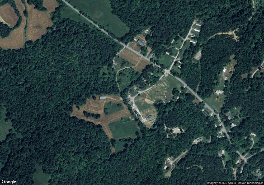
Map
Nearby Homes
- 213 Brock Rd
- 112 Dogwood St
- L-7 Williams Dr
- 9211 Brock Rd
- 211 Jamie St
- 215 Jamie St
- 9210 Brock Rd
- 275 Dogwood Ln
- 7725 Texas Valley Rd
- 323 Maynardville Hwy
- 9024 Welch Rd
- 254 Dogwood Ln
- 0 Satterfield Rd Unit 1313221
- 8210 Wood Rd
- 375 Russell Dr
- 7439 Haley Ln
- 00 Old Tazewell Pike
- 9502 Old Loyston Rd
- 6901 Texas Valley Rd
- 346 Wolfenbarger Ln
- 1165 Satterfield Rd
- 1183 Satterfield Rd
- 1149 Satterfield Rd
- 1147 Satterfield Rd
- 1147 Satterfield Rd
- 1168 Satterfield Rd
- 1172 Satterfield Rd
- 1180 Satterfield Rd
- 1139 Satterfield Rd
- 1133 Satterfield Rd
- 1129 Satterfield Rd
- 1136 Satterfield Rd
- 1123 Satterfield Rd
- 110 Brock Rd
- 1124 Satterfield Rd
- 1113 Satterfield Rd
- 1120 Satterfield Rd
- 1104 Satterfield Rd
- 1103 Satterfield Rd
- 107 Brock Rd