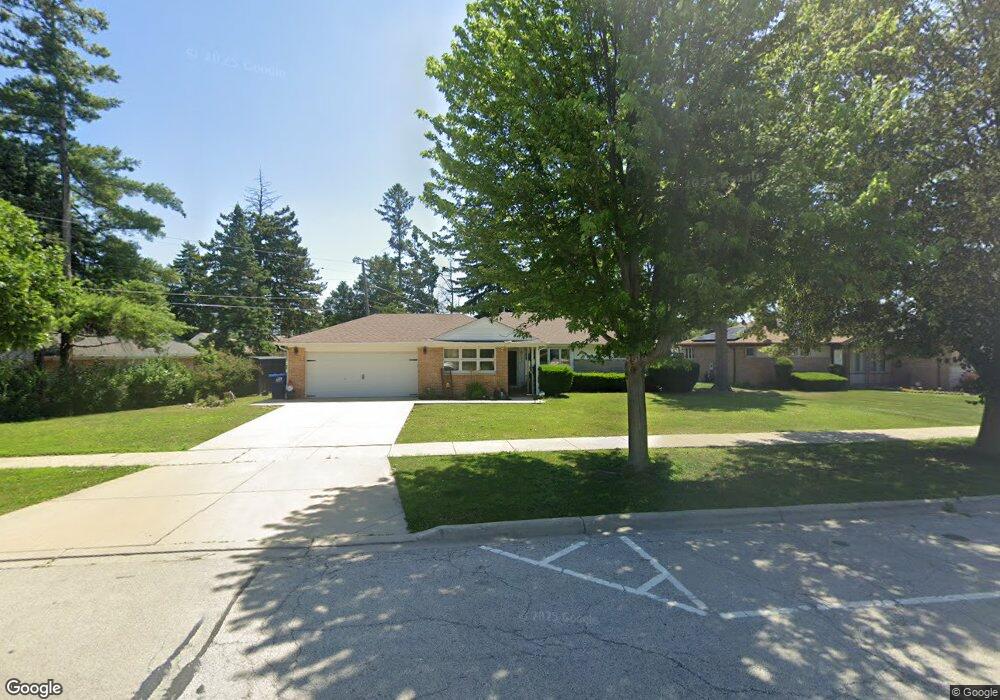
1159 Southwest Place Des Plaines, IL 60016
Estimated Value: $366,000 - $399,000
3
Beds
1
Bath
1,572
Sq Ft
$240/Sq Ft
Est. Value
About This Home
This home is located at 1159 Southwest Place, Des Plaines, IL 60016 and is currently estimated at $377,664, approximately $240 per square foot. 1159 Southwest Place is a home located in Cook County with nearby schools including Forest Elementary School, Algonquin Middle School, and Maine West High School.
Ownership History
Date
Name
Owned For
Owner Type
Purchase Details
Closed on
Dec 15, 2017
Sold by
Winspire Llc
Bought by
Reet Ventures Llc
Current Estimated Value
Purchase Details
Closed on
Dec 13, 2017
Sold by
Freedom First Real Estate Llc
Bought by
Winspire
Purchase Details
Closed on
Dec 5, 2017
Sold by
Farrell W Thomas
Bought by
Freedom First Real Estate Llc
Purchase Details
Closed on
Feb 11, 2000
Sold by
Obrien John E and Obrien Rita Ann
Bought by
Obrien John E and Obrien Rita An
Create a Home Valuation Report for This Property
The Home Valuation Report is an in-depth analysis detailing your home's value as well as a comparison with similar homes in the area
Home Values in the Area
Average Home Value in this Area
Purchase History
| Date | Buyer | Sale Price | Title Company |
|---|---|---|---|
| Reet Ventures Llc | $160,000 | Attorney | |
| Winspire | -- | Attorney | |
| Freedom First Real Estate Llc | $125,000 | Chicago Title | |
| Obrien John E | -- | -- |
Source: Public Records
Tax History Compared to Growth
Tax History
| Year | Tax Paid | Tax Assessment Tax Assessment Total Assessment is a certain percentage of the fair market value that is determined by local assessors to be the total taxable value of land and additions on the property. | Land | Improvement |
|---|---|---|---|---|
| 2024 | $7,382 | $28,000 | $5,391 | $22,609 |
| 2023 | $7,205 | $28,000 | $5,391 | $22,609 |
| 2022 | $7,205 | $28,000 | $5,391 | $22,609 |
| 2021 | $6,527 | $21,234 | $4,492 | $16,742 |
| 2020 | $7,410 | $24,520 | $4,492 | $20,028 |
| 2019 | $7,414 | $27,551 | $4,492 | $23,059 |
| 2018 | $6,337 | $21,189 | $3,953 | $17,236 |
| 2017 | $7,225 | $24,592 | $3,953 | $20,639 |
| 2016 | $6,834 | $24,592 | $3,953 | $20,639 |
| 2015 | $6,126 | $20,265 | $3,414 | $16,851 |
| 2014 | $5,997 | $20,265 | $3,414 | $16,851 |
| 2013 | $5,848 | $20,265 | $3,414 | $16,851 |
Source: Public Records
Map
Nearby Homes
- 1157 W Grant Dr
- 1205 S Wolf Rd
- 1056 E Villa Dr
- 911 E Villa Dr
- 1394 Carol Ln
- 858 E Grant Dr
- 906 Alfini Dr
- 505 Forest Ave
- 714 E Thacker St
- 881 E Thacker St
- 773 E Lincoln Ave
- 991 Wicke Ave
- 520 E Thacker St
- 807 Fairmont Ct
- 434 E Thacker St
- 1050 E Oakton St
- 1596 Oxford Rd
- 915 Graceland Ave Unit 1E
- 900 Lee St Unit 207
- 648 1st Ave
- 1165 Southwest Place
- 1142 W Grant Dr
- 1148 W Grant Dr
- 1154 W Grant Dr
- 722 E Algonquin Rd
- 710 E Algonquin Rd
- 693 Walnut Ct
- 728 E Algonquin Rd
- 1156 W Grant Dr
- 1130 W Grant Dr
- 736 E Algonquin Rd
- 692 Walnut Ct
- 685 Walnut Ct
- 742 E Algonquin Rd
- 692 E Algonquin Rd
- 1124 W Grant Dr
- 1160 W Grant Dr
- 684 Walnut Ct
- 679 Walnut Ct
- 752 E Algonquin Rd