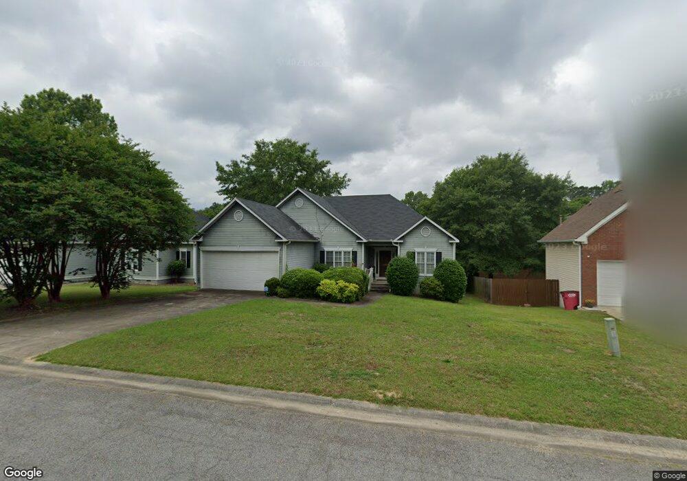
116 Ashford Trace Ln Macon, GA 31210
Estimated Value: $226,301 - $272,000
3
Beds
2
Baths
1,754
Sq Ft
$145/Sq Ft
Est. Value
About This Home
This home is located at 116 Ashford Trace Ln, Macon, GA 31210 and is currently estimated at $254,575, approximately $145 per square foot. 116 Ashford Trace Ln is a home located in Bibb County with nearby schools including Carter Elementary School, Howard Middle School, and Howard High School.
Ownership History
Date
Name
Owned For
Owner Type
Purchase Details
Closed on
Oct 10, 2007
Sold by
Fincher Viju K and Kulkarni Viju L
Bought by
Davis Mary A
Current Estimated Value
Home Financials for this Owner
Home Financials are based on the most recent Mortgage that was taken out on this home.
Original Mortgage
$109,620
Outstanding Balance
$68,514
Interest Rate
6.41%
Mortgage Type
FHA
Estimated Equity
$186,061
Purchase Details
Closed on
Oct 15, 1998
Bought by
Davis Mary A
Create a Home Valuation Report for This Property
The Home Valuation Report is an in-depth analysis detailing your home's value as well as a comparison with similar homes in the area
Purchase History
| Date | Buyer | Sale Price | Title Company |
|---|---|---|---|
| Davis Mary A | $135,000 | None Available | |
| Davis Mary A | $119,000 | -- |
Source: Public Records
Mortgage History
| Date | Status | Borrower | Loan Amount |
|---|---|---|---|
| Open | Davis Mary A | $109,620 |
Source: Public Records
Tax History
| Year | Tax Paid | Tax Assessment Tax Assessment Total Assessment is a certain percentage of the fair market value that is determined by local assessors to be the total taxable value of land and additions on the property. | Land | Improvement |
|---|---|---|---|---|
| 2025 | $1,766 | $78,867 | $12,000 | $66,867 |
| 2024 | $1,542 | $67,722 | $12,000 | $55,722 |
| 2023 | $1,799 | $67,722 | $12,000 | $55,722 |
| 2022 | $1,874 | $61,142 | $8,800 | $52,342 |
| 2021 | $1,760 | $53,304 | $8,000 | $45,304 |
| 2020 | $1,798 | $53,304 | $8,000 | $45,304 |
| 2019 | $1,813 | $53,304 | $8,000 | $45,304 |
| 2018 | $2,956 | $53,304 | $8,000 | $45,304 |
| 2017 | $1,521 | $47,586 | $8,000 | $39,586 |
| 2016 | $1,404 | $47,586 | $8,000 | $39,586 |
| 2015 | $2,203 | $51,984 | $8,000 | $43,984 |
| 2014 | $1,991 | $47,586 | $8,000 | $39,586 |
Source: Public Records
Map
Nearby Homes
- 200 Autumn Trace Ct
- 139 Ashford Trace Ln
- 180 Autumn Trace Ct
- 148 Ashford Trace Ln
- 141 Parklane Place
- 540 Brookside Dr
- 118 Ashford Park
- 525 Brookside Dr
- 128 Springwood Ct
- 100 Trillium Terrace
- 1220 N Plantation Pkwy
- 264 Dolly Madison Ct
- 1154 N Plantation Pkwy
- 302 James Place
- 682 Wilderness Dr
- 1137 N Plantation Pkwy
- 882 N Confederate Dr
- 903 Stephen Foster Ln
- 948 S Plantation Pkwy
- 256 Jefferson Cir
- 120 Ashford Trace Ln
- 112 Ashford Trace Ln Unit PO Box 310
- 124 Ashford Trace Ln
- 199 Autumn Trace Ct
- 195 Autumn Trace Ct
- 108 Ashford Trace Ln
- 203 Autumn Trace Ct
- 191 Autumn Trace Ct
- 113 Ashford Trace Ln
- 109 Ashford Trace Ln
- 128 Ashford Trace Ln
- 117 Ashford Trace Ln
- 205 Autumn Trace Ct
- 187 Autumn Trace Ct
- 106 Ashford Trace Ln
- 105 Ashford Trace Ln
- 185 Autumn Trace Ct
- 132 Ashford Trace Ln
- 127 Ashford Trace Ln
- 211 Autumn Trace Ct
Your Personal Tour Guide
Ask me questions while you tour the home.