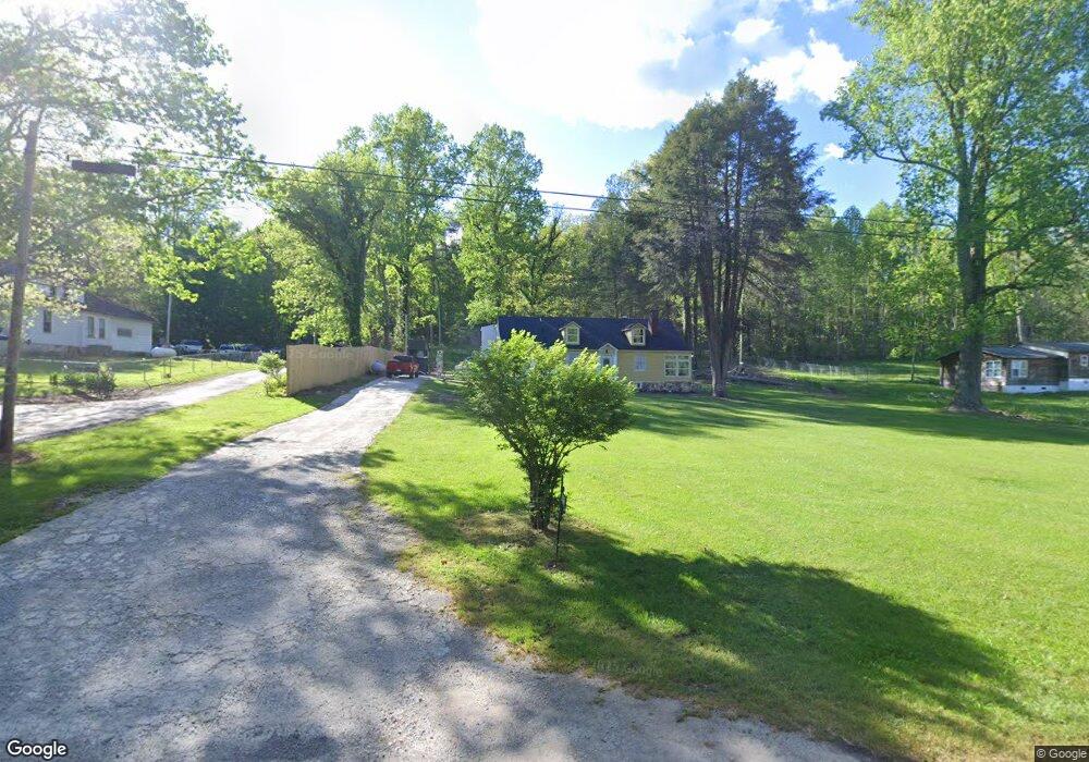
116 Big Mine Rd Palmer, TN 37365
Estimated Value: $132,000 - $259,000
Studio
3
Baths
3,468
Sq Ft
$57/Sq Ft
Est. Value
About This Home
This home is located at 116 Big Mine Rd, Palmer, TN 37365 and is currently estimated at $197,821, approximately $57 per square foot. 116 Big Mine Rd is a home located in Grundy County with nearby schools including Faith Missionary Academy.
Ownership History
Date
Name
Owned For
Owner Type
Purchase Details
Closed on
Apr 27, 2022
Sold by
Frost Loren B and Frost Deborah G
Bought by
Rise Up Grundy A Non-Profit Corporation
Current Estimated Value
Purchase Details
Closed on
Sep 15, 2011
Sold by
Hua Vin Paul
Bought by
Roberts Jamie A
Home Financials for this Owner
Home Financials are based on the most recent Mortgage that was taken out on this home.
Original Mortgage
$60,000
Interest Rate
4.24%
Mortgage Type
Commercial
Purchase Details
Closed on
Jul 11, 1981
Bought by
Hua Vin Paul and Hua Ruth
Create a Home Valuation Report for This Property
The Home Valuation Report is an in-depth analysis detailing your home's value as well as a comparison with similar homes in the area
Purchase History
| Date | Buyer | Sale Price | Title Company |
|---|---|---|---|
| Rise Up Grundy A Non-Profit Corporation | $3,243 | Anderson William R | |
| Roberts Jamie A | $60,000 | -- | |
| Hua Vin Paul | -- | -- |
Source: Public Records
Mortgage History
| Date | Status | Borrower | Loan Amount |
|---|---|---|---|
| Previous Owner | Roberts Jamie A | $60,000 |
Source: Public Records
Tax History
| Year | Tax Paid | Tax Assessment Tax Assessment Total Assessment is a certain percentage of the fair market value that is determined by local assessors to be the total taxable value of land and additions on the property. | Land | Improvement |
|---|---|---|---|---|
| 2025 | $952 | $66,775 | $2,400 | $64,375 |
| 2024 | $952 | $66,775 | $2,400 | $64,375 |
| 2023 | $952 | $66,775 | $2,400 | $64,375 |
| 2022 | $865 | $39,075 | $1,575 | $37,500 |
| 2021 | $865 | $39,075 | $1,575 | $37,500 |
| 2020 | $865 | $39,075 | $1,575 | $37,500 |
| 2019 | $489 | $23,550 | $1,500 | $22,050 |
| 2018 | $489 | $19,275 | $1,500 | $17,775 |
| 2017 | $489 | $19,275 | $1,500 | $17,775 |
| 2016 | $487 | $19,200 | $1,500 | $17,700 |
| 2015 | $487 | $19,200 | $1,500 | $17,700 |
| 2014 | $488 | $19,211 | $0 | $0 |
Source: Public Records
Map
Nearby Homes
- 0 Main St Unit RTC2796154
- 385 Chiggertown Loop
- 14 Sawmill Rd
- Tract 14 Sawmill Rd
- 1077 Rock Ave
- Tract 14 Sawmill Rd
- 253 Daus Mountain Rd
- 4.71AC Daus Mountain Rd
- 573AC Daus Mountain Rd
- 1235 Tatesville Rd
- Daus Mountain Road; Lot Unit WP001
- 34 Sr 399
- 36 Tennessee 399
- 2739 Tennessee 399
- 115 66th Ave
- 188 65th Ave
- 31759 State Route 108
- 573.83AC Daus Mountain Rd
- 1555 Palmer Firetower Rd
- 0 60th Ave S
- 148 Big Mine Rd
- 80 Big Mine Rd
- 76 Big Mine Rd
- 129 Big Mine Rd
- 1 Martin Ln
- 190 Big Mine Rd
- 197 Martin Ln
- 225 Martin Ln
- 1 Hwy 108
- 0 Hwy 108 Unit 1111563
- 108 Hwy 108
- 0 Hwy 108 Unit 1138523
- 0 Hwy 108 Unit 1017923
- 0 Hwy 108 Unit 1001674
- 95 Hwy 108
- 216 Big Mine Rd
- 0 Main St Unit 20175314
- 0 Main St Unit RTC2745488
- 0 Main St Unit RTC2526912
- 0 Main St Unit RTC2522454
Your Personal Tour Guide
Ask me questions while you tour the home.