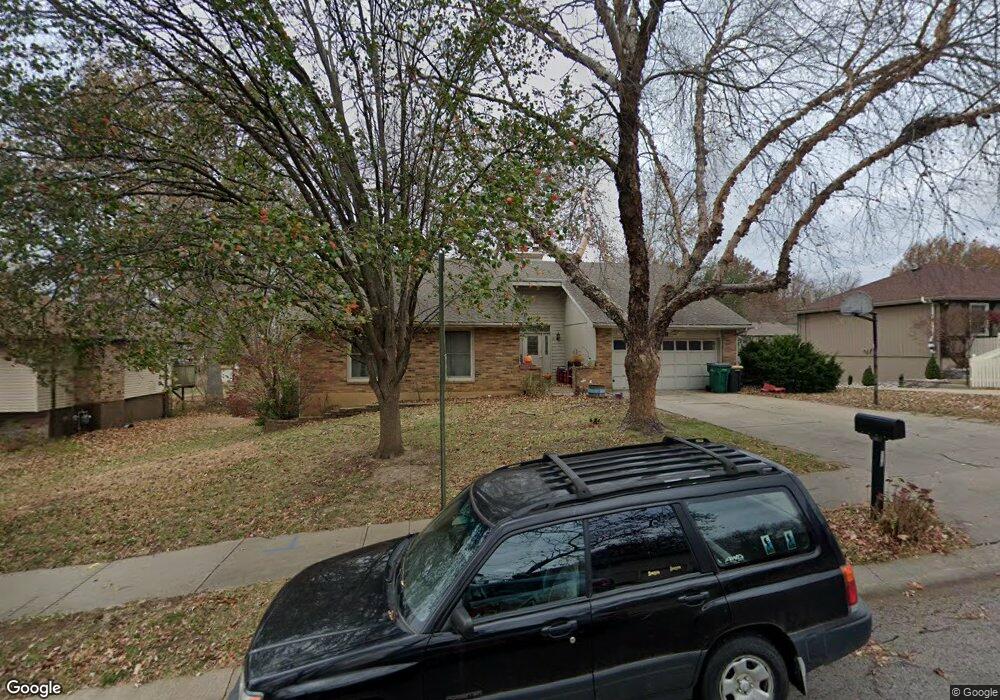
116 Bittersweet Ln Lansing, KS 66043
Estimated Value: $339,000 - $394,000
5
Beds
3
Baths
1,874
Sq Ft
$195/Sq Ft
Est. Value
About This Home
This home is located at 116 Bittersweet Ln, Lansing, KS 66043 and is currently estimated at $366,054, approximately $195 per square foot. 116 Bittersweet Ln is a home located in Leavenworth County with nearby schools including Lansing Elementary School, Lansing Middle 6-8, and Lansing High 9-12.
Ownership History
Date
Name
Owned For
Owner Type
Purchase Details
Closed on
Jan 20, 2011
Sold by
Fallesen Jon J and Fallesen Mary J
Bought by
Martin Garrett A and Martin Sara P
Current Estimated Value
Home Financials for this Owner
Home Financials are based on the most recent Mortgage that was taken out on this home.
Original Mortgage
$200,000
Interest Rate
4.62%
Mortgage Type
New Conventional
Create a Home Valuation Report for This Property
The Home Valuation Report is an in-depth analysis detailing your home's value as well as a comparison with similar homes in the area
Home Values in the Area
Average Home Value in this Area
Purchase History
| Date | Buyer | Sale Price | Title Company |
|---|---|---|---|
| Martin Garrett A | $196,000 | United Title |
Source: Public Records
Mortgage History
| Date | Status | Borrower | Loan Amount |
|---|---|---|---|
| Previous Owner | Martin Garrett A | $200,000 |
Source: Public Records
Tax History
| Year | Tax Paid | Tax Assessment Tax Assessment Total Assessment is a certain percentage of the fair market value that is determined by local assessors to be the total taxable value of land and additions on the property. | Land | Improvement |
|---|---|---|---|---|
| 2025 | $4,972 | $38,446 | $5,078 | $33,368 |
| 2024 | $4,615 | $36,968 | $4,020 | $32,948 |
| 2023 | $4,615 | $35,546 | $4,020 | $31,526 |
| 2022 | $4,438 | $32,315 | $3,073 | $29,242 |
| 2021 | $4,390 | $30,486 | $3,073 | $27,413 |
| 2020 | $4,141 | $28,313 | $3,073 | $25,240 |
| 2019 | $4,197 | $26,163 | $3,073 | $23,090 |
| 2018 | $3,610 | $24,696 | $2,539 | $22,157 |
| 2017 | $3,444 | $23,521 | $2,539 | $20,982 |
| 2016 | $4,357 | $23,287 | $2,539 | $20,748 |
| 2015 | $3,401 | $23,287 | $2,539 | $20,748 |
| 2014 | $3,232 | $22,609 | $2,539 | $20,070 |
Source: Public Records
Map
Nearby Homes
- 20958 Ida St
- 129 Crestview Ct
- 713 Englewood St
- 130 Hampton Ct
- 860 Meadowlark Ct
- 124 S Main St
- 202 S Main St
- 134 Woodland Rd
- 900 Oakmont Dr
- 26731 147th St
- 218 E Kay St
- 1017 Pebble Beach Dr
- 134 Debra St
- 1102 N Main St
- 4 Eisenhower Rd
- 1100 N 4th St
- Lot 2 Eisenhower Rd
- 1102 N 4th St
- 522 Forestglen Ln
- 811 4-H Rd
- 108 Bittersweet Ln
- 107 Brookridge St
- 109 Brookridge St
- 132 Bittersweet Ln
- 600 Ida St
- 519 Oakbrook Dr
- 111 Brookridge St
- 627 Ida St
- 105 Brookridge St
- 516 Ida St
- 200 Bittersweet Ln
- 524 Oakbrook Dr
- 113 Brookridge St
- 511 Oakbrook Dr
- 516 Oakbrook Dr
- 208 Bittersweet Ln
- 508 Ida St
- 115 Brookridge St
- 106 Brookridge St
- 205 Bittersweet Ln
Your Personal Tour Guide
Ask me questions while you tour the home.