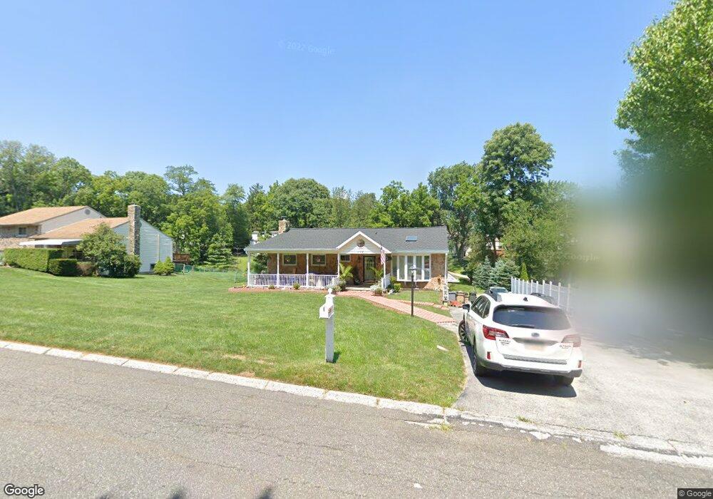
116 Brookside Rd Newtown Square, PA 19073
Estimated Value: $560,524 - $626,000
3
Beds
3
Baths
1,658
Sq Ft
$365/Sq Ft
Est. Value
About This Home
This home is located at 116 Brookside Rd, Newtown Square, PA 19073 and is currently estimated at $605,381, approximately $365 per square foot. 116 Brookside Rd is a home located in Delaware County with nearby schools including Culbertson Elementary School, Paxon Hollow Middle School, and Marple Newtown Senior High School.
Ownership History
Date
Name
Owned For
Owner Type
Purchase Details
Closed on
Dec 26, 2001
Sold by
Burns Rose G
Bought by
Mccusker Marianne
Current Estimated Value
Home Financials for this Owner
Home Financials are based on the most recent Mortgage that was taken out on this home.
Original Mortgage
$158,750
Outstanding Balance
$62,885
Interest Rate
6.61%
Mortgage Type
Stand Alone First
Estimated Equity
$542,496
Create a Home Valuation Report for This Property
The Home Valuation Report is an in-depth analysis detailing your home's value as well as a comparison with similar homes in the area
Home Values in the Area
Average Home Value in this Area
Purchase History
| Date | Buyer | Sale Price | Title Company |
|---|---|---|---|
| Mccusker Marianne | $170,000 | Commonwealth Land Title Ins |
Source: Public Records
Mortgage History
| Date | Status | Borrower | Loan Amount |
|---|---|---|---|
| Open | Mccusker Marianne | $158,750 |
Source: Public Records
Tax History
| Year | Tax Paid | Tax Assessment Tax Assessment Total Assessment is a certain percentage of the fair market value that is determined by local assessors to be the total taxable value of land and additions on the property. | Land | Improvement |
|---|---|---|---|---|
| 2025 | $6,038 | $362,820 | $131,080 | $231,740 |
| 2024 | $6,038 | $362,820 | $131,080 | $231,740 |
| 2023 | $5,847 | $362,820 | $131,080 | $231,740 |
| 2022 | $5,719 | $362,820 | $131,080 | $231,740 |
| 2021 | $8,744 | $362,820 | $131,080 | $231,740 |
| 2020 | $4,649 | $169,500 | $70,640 | $98,860 |
| 2019 | $4,576 | $169,500 | $70,640 | $98,860 |
| 2018 | $4,526 | $169,500 | $0 | $0 |
| 2017 | $4,511 | $169,500 | $0 | $0 |
| 2016 | $930 | $169,500 | $0 | $0 |
| 2015 | $949 | $169,500 | $0 | $0 |
| 2014 | $930 | $169,500 | $0 | $0 |
Source: Public Records
Map
Nearby Homes
- 212 Aronimink Dr
- 120 Hunt Club Ln
- 31 Barren Rd
- 14 Valley View Ln
- 204 3rd Ave
- 334 Foxtail Ln Unit 22D
- 326 Squire Dr Unit 21C
- 10 Fox Chase Cir
- 220 Charles Ellis Dr
- 204 Media Line Rd
- 23 Newtown Woods Rd
- 337 Horseshoe Trail
- 303 Squire Dr
- 312 Belpaire Ct Unit 312
- 691 Media Line Rd
- 147 W Kenilworth Cir Unit 147
- 215 E Chelsea Cir Unit 215
- 514 Waters Edge Unit 43
- 615 Wiltshire Ln Unit 140
- 3703 Rosemont Pass
- 118 Brookside Rd
- 114 Brookside Rd
- 120 Brookside Rd
- 112 Brookside Rd
- 131 Ashley Rd
- 129 Ashley Rd
- 133 Ashley Rd
- 121 Brookside Rd
- 127 Ashley Rd
- 110 Furlong Ave
- 119 Brookside Rd
- 122 Brookside Rd
- 110 Brookside Rd
- 135 Ashley Rd
- 125 Ashley Rd
- 117 Brookside Rd
- 108 Furlong Ave
- 137 Ashley Rd
- 124 Brookside Rd
- 123 Ashley Rd