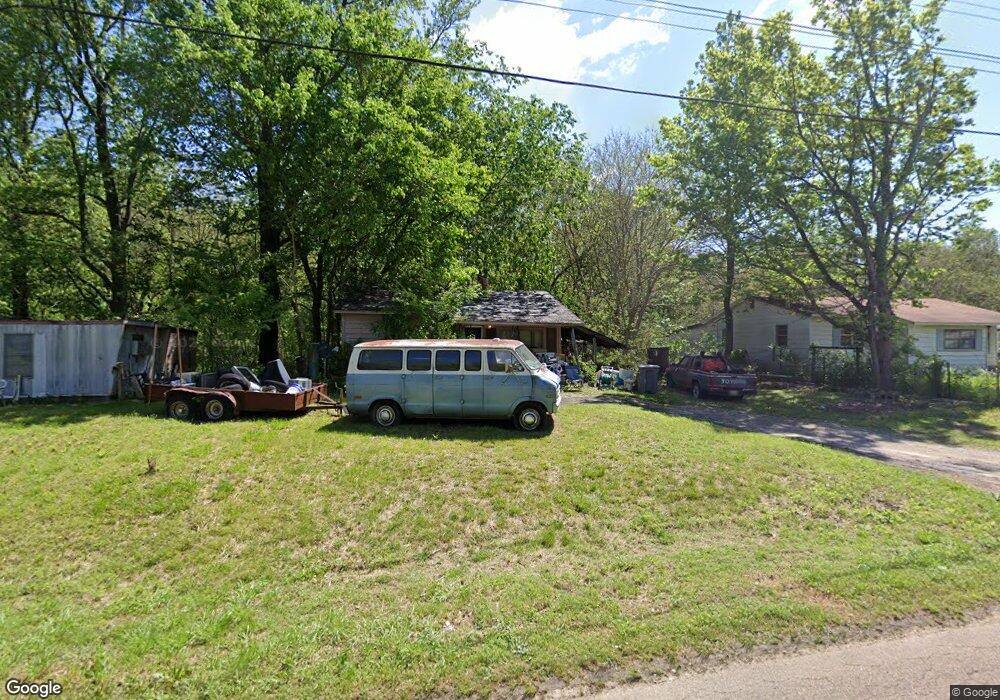
116 Bucksnort Rd Covington, TN 38019
Estimated Value: $46,672 - $197,000
Studio
1
Bath
644
Sq Ft
$202/Sq Ft
Est. Value
About This Home
This home is located at 116 Bucksnort Rd, Covington, TN 38019 and is currently estimated at $130,168, approximately $202 per square foot. 116 Bucksnort Rd is a home located in Tipton County with nearby schools including Crestview Elementary School, Crestview Middle School, and Covington High School.
Ownership History
Date
Name
Owned For
Owner Type
Purchase Details
Closed on
Dec 21, 1999
Bought by
Cox Eugene and Cox Ruby Marie
Current Estimated Value
Purchase Details
Closed on
Dec 20, 1999
Sold by
Antrican Edward T
Bought by
Eugene Cox
Purchase Details
Closed on
Jul 17, 1989
Bought by
Antrican Edward T
Purchase Details
Closed on
Oct 4, 1982
Bought by
Norvell William J
Purchase Details
Closed on
Sep 16, 1982
Purchase Details
Closed on
Feb 28, 1981
Purchase Details
Closed on
Aug 18, 1975
Create a Home Valuation Report for This Property
The Home Valuation Report is an in-depth analysis detailing your home's value as well as a comparison with similar homes in the area
Purchase History
| Date | Buyer | Sale Price | Title Company |
|---|---|---|---|
| Cox Eugene | $21,300 | -- | |
| Eugene Cox | $21,348 | -- | |
| Antrican Edward T | $23,500 | -- | |
| Norvell William J | -- | -- | |
| -- | -- | -- | |
| -- | -- | -- | |
| -- | -- | -- |
Source: Public Records
Tax History
| Year | Tax Paid | Tax Assessment Tax Assessment Total Assessment is a certain percentage of the fair market value that is determined by local assessors to be the total taxable value of land and additions on the property. | Land | Improvement |
|---|---|---|---|---|
| 2025 | $110 | $7,200 | $3,600 | $3,600 |
| 2024 | $110 | $7,200 | $3,600 | $3,600 |
| 2023 | $110 | $7,200 | $3,600 | $3,600 |
| 2022 | $106 | $5,200 | $2,650 | $2,550 |
| 2021 | $129 | $5,200 | $2,650 | $2,550 |
| 2020 | $128 | $6,300 | $2,650 | $3,650 |
| 2019 | $137 | $5,675 | $2,025 | $3,650 |
| 2018 | $137 | $5,675 | $2,025 | $3,650 |
| 2017 | $137 | $5,675 | $2,025 | $3,650 |
| 2016 | $137 | $5,675 | $2,025 | $3,650 |
| 2015 | $137 | $5,675 | $2,025 | $3,650 |
| 2014 | $138 | $5,691 | $0 | $0 |
Source: Public Records
Map
Nearby Homes
- 4154 Tennessee 59
- 866 Deen Rd
- 273 Daniel Dr
- 458 McLillie Ln
- 1766 Tennessee 59
- 145 Quail Rd
- 2847 Holly Grove Rd
- 597 Walton Loop
- 127 Walton Loop
- 754 Mcwilliams Rd
- 0 Mcwilliams Rd
- 00 Mcwilliams Rd
- 1321 Tennessee 59
- 112 Liberty Church Smith Rd
- 417 Turner Ln
- 375 Mueller Brass Rd
- 605 Junior Dr
- 1535 Roane St
- 2930 Indian Creek Rd
- 1019 Hill Ave
- 102 Bucksnort Rd
- 90 Bucksnort Rd
- 127 Bucksnort Rd
- 97 Bucksnort Rd
- 141 Bucksnort Rd
- 76 Bucksnort Rd
- 113 Bucksnort Rd
- 69 Bucksnort Rd
- 50 Bucksnort Rd
- 111 Paulette Cir
- 32 Bucksnort Rd
- 114 Paulette Cir
- 91 Paulette Cir
- 3392 Highway 59 W
- 92 Paulette Cir
- 224 Bucksnort Rd
- 0 Bucksnort Rd
- 00 Bucksnort Rd
- 0 Bucksnort Rd Unit 242025
- 03 Bucksnort Rd
Your Personal Tour Guide
Ask me questions while you tour the home.