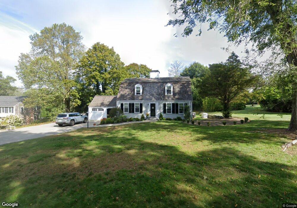
116 Captain Peirce Rd Scituate, MA 02066
Estimated Value: $1,138,000 - $1,531,000
3
Beds
4
Baths
2,750
Sq Ft
$506/Sq Ft
Est. Value
About This Home
This home is located at 116 Captain Peirce Rd, Scituate, MA 02066 and is currently estimated at $1,390,899, approximately $505 per square foot. 116 Captain Peirce Rd is a home located in Plymouth County with nearby schools including Cushing Elementary School, Lester J. Gates Middle School, and Scituate High School.
Ownership History
Date
Name
Owned For
Owner Type
Purchase Details
Closed on
May 6, 2019
Sold by
Kristine M Sheahan Ret
Bought by
Davis Matthew J and Whiter Laura C
Current Estimated Value
Home Financials for this Owner
Home Financials are based on the most recent Mortgage that was taken out on this home.
Original Mortgage
$680,000
Outstanding Balance
$597,858
Interest Rate
4.2%
Mortgage Type
New Conventional
Estimated Equity
$793,041
Purchase Details
Closed on
Jan 9, 2017
Sold by
Sheahan Kristine M and Sheahan Denis K
Bought by
Kristine M Sheahan Ret
Purchase Details
Closed on
Sep 29, 2000
Sold by
116 Captain Pierce Rt and Beebe Katherine F
Bought by
Sheahan Kristine M and Sheahan Denis K
Create a Home Valuation Report for This Property
The Home Valuation Report is an in-depth analysis detailing your home's value as well as a comparison with similar homes in the area
Home Values in the Area
Average Home Value in this Area
Purchase History
| Date | Buyer | Sale Price | Title Company |
|---|---|---|---|
| Davis Matthew J | $850,000 | -- | |
| Kristine M Sheahan Ret | -- | -- | |
| Sheahan Kristine M | $459,000 | -- |
Source: Public Records
Mortgage History
| Date | Status | Borrower | Loan Amount |
|---|---|---|---|
| Open | Davis Matthew J | $680,000 | |
| Previous Owner | Sheahan Kristine M | $100,000 | |
| Previous Owner | Sheahan Kristine M | $232,000 | |
| Previous Owner | Sheahan Kristine M | $238,000 |
Source: Public Records
Tax History Compared to Growth
Tax History
| Year | Tax Paid | Tax Assessment Tax Assessment Total Assessment is a certain percentage of the fair market value that is determined by local assessors to be the total taxable value of land and additions on the property. | Land | Improvement |
|---|---|---|---|---|
| 2025 | $11,791 | $1,180,300 | $404,800 | $775,500 |
| 2024 | $11,693 | $1,128,700 | $368,000 | $760,700 |
| 2023 | $11,291 | $1,030,400 | $353,300 | $677,100 |
| 2022 | $11,291 | $894,700 | $326,300 | $568,400 |
| 2021 | $10,589 | $794,400 | $310,700 | $483,700 |
| 2020 | $10,257 | $759,800 | $298,700 | $461,100 |
| 2019 | $9,558 | $695,600 | $292,900 | $402,700 |
| 2018 | $9,337 | $669,300 | $302,400 | $366,900 |
| 2017 | $9,260 | $657,200 | $290,300 | $366,900 |
| 2016 | $8,772 | $620,400 | $266,100 | $354,300 |
| 2015 | $7,969 | $608,300 | $254,000 | $354,300 |
Source: Public Records
Map
Nearby Homes
- 59 Captain Peirce Rd
- 27 Ann Vinal Rd
- 14 Aberdeen Dr
- 112 Hollett St
- 54 Woodland Rd
- 2 Windward Ln
- 16 3 Ring Rd
- 32 Fairview Ave
- 22 Kings Way
- 378 Tilden Rd
- 9 Kyle Path
- 11 Forest Ln
- 9 Forest Ln Unit 9
- 22 Forest Ln Unit 22
- 26 Mordecai Lincoln Rd
- 29 Country Club Cir
- 7 Border St
- 30 Irving Rd
- 8 Trudys Ln
- 10 Benjamin Ln Unit 10
- 116 Captain Peirce Rd
- 118 Captain Peirce Rd
- 110 Captain Peirce Rd
- 117 Captain Peirce Rd
- 124 Captain Peirce Rd
- 109 Captain Peirce Rd
- 101 Captain Peirce Rd
- 106 Captain Peirce Rd
- 108 Captain Peirce Rd
- 125 Captain Pierce Rd
- 104 Captain Peirce Rd
- 126 Captain Pierce Rd
- 126 Captain Peirce Rd
- 95 Captain Peirce Rd
- 127 Captain Peirce Rd
- 49 Whittier Dr
- 140 Captain Pierce Rd
- 140 Captain Peirce Rd
- 48 Whittier Dr
- 48 Whittier Dr Unit 1