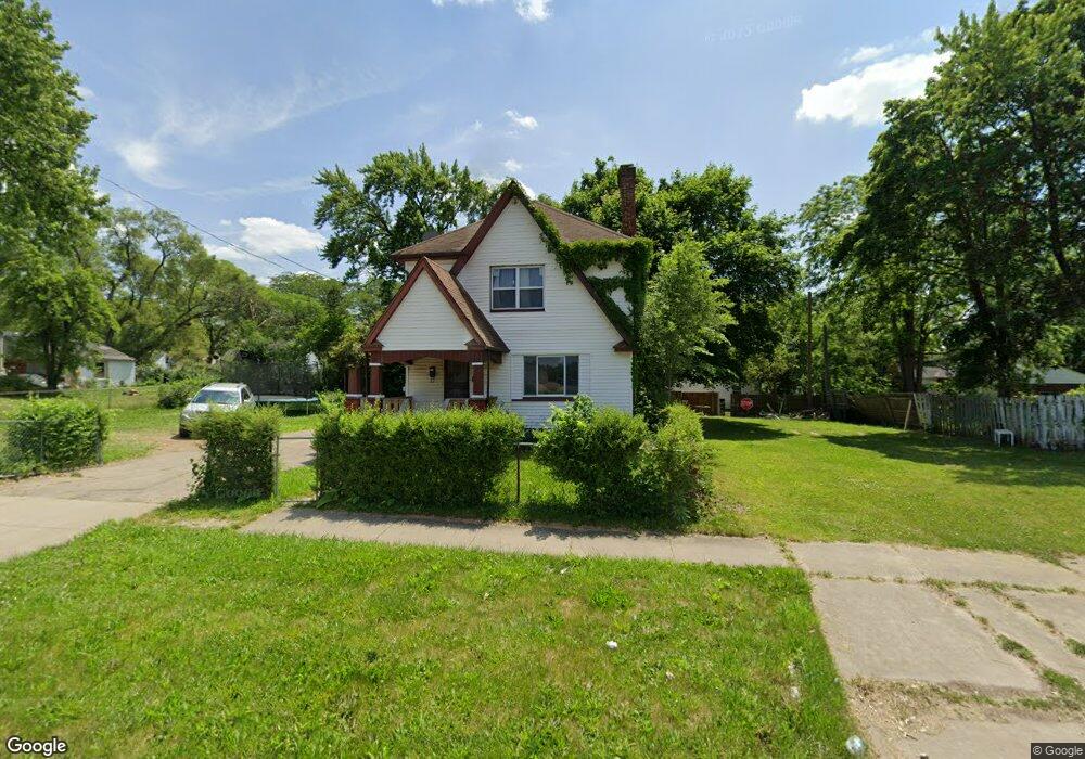
116 E Pierson Rd Flint, MI 48505
King Avenue Plus NeighborhoodEstimated Value: $49,321 - $61,000
Studio
2
Baths
1,464
Sq Ft
$37/Sq Ft
Est. Value
About This Home
This home is located at 116 E Pierson Rd, Flint, MI 48505 and is currently estimated at $54,580, approximately $37 per square foot. 116 E Pierson Rd is a home located in Genesee County with nearby schools including Brownell STEM Academy, The New Standard Academy, and Eagle's Nest Academy.
Ownership History
Date
Name
Owned For
Owner Type
Purchase Details
Closed on
Dec 8, 2016
Sold by
Kattola Jonathan M
Bought by
Home 1 Llc
Current Estimated Value
Purchase Details
Closed on
Jul 1, 2008
Sold by
Jcm Universal Inc
Bought by
Kattola Jonathan
Purchase Details
Closed on
Oct 12, 2007
Sold by
Robinson David and Black Robinson Deborah L
Bought by
Deutsche Bank National Trust Co and Ameriquest Mortgage Securities Inc Asset
Purchase Details
Closed on
Oct 13, 2004
Sold by
First National Acceptance Co
Bought by
Robinson Deborah L
Purchase Details
Closed on
Nov 13, 2002
Sold by
Vasquez John T and Vasquez Olivia R
Bought by
First National Acceptance Co
Create a Home Valuation Report for This Property
The Home Valuation Report is an in-depth analysis detailing your home's value as well as a comparison with similar homes in the area
Home Values in the Area
Average Home Value in this Area
Purchase History
| Date | Buyer | Sale Price | Title Company |
|---|---|---|---|
| Home 1 Llc | -- | None Available | |
| Kattola Jonathan | -- | None Available | |
| Deutsche Bank National Trust Co | -- | E Title Agency | |
| Robinson Deborah L | $19,900 | -- | |
| First National Acceptance Co | $12,450 | -- |
Source: Public Records
Tax History
| Year | Tax Paid | Tax Assessment Tax Assessment Total Assessment is a certain percentage of the fair market value that is determined by local assessors to be the total taxable value of land and additions on the property. | Land | Improvement |
|---|---|---|---|---|
| 2025 | $1,100 | $19,200 | $0 | $0 |
| 2024 | $1,040 | $17,300 | $0 | $0 |
| 2023 | $1,025 | $13,300 | $0 | $0 |
| 2022 | $0 | $11,200 | $0 | $0 |
| 2021 | $998 | $10,900 | $0 | $0 |
| 2020 | $938 | $9,400 | $0 | $0 |
| 2019 | $757 | $10,300 | $0 | $0 |
| 2018 | $885 | $10,700 | $0 | $0 |
| 2017 | $918 | $0 | $0 | $0 |
| 2016 | $807 | $0 | $0 | $0 |
| 2015 | -- | $0 | $0 | $0 |
| 2014 | -- | $0 | $0 | $0 |
| 2012 | -- | $8,500 | $0 | $0 |
Source: Public Records
Map
Nearby Homes
- 205 E Baltimore Blvd
- 329 W Baltimore Blvd
- 124 W Flint Park Blvd
- 350 E Mott Ave
- 525 W Pulaski Ave
- 510 W Bishop Ave
- 618 E Parkway Ave
- 680 E Pierson Rd
- 225 E Piper Ave
- 5416 Dupont St
- 702/718 W Flint Park Blvd
- 4808 Edwards Ave
- 0 E Marengo Ave Unit 50200980
- 536 W Home Ave
- 345 E Austin Ave
- 4816 Glenn Ave
- 5610 Baldwin Blvd
- 610 W Austin Ave
- 5518 Winthrop Blvd
- 518 W Ruth Ave
- 112 E Pierson Rd
- 128 E Pierson Rd
- 115 E Pulaski Ave
- 5122 M l King Ave
- 111 E Pulaski Ave
- 5122 Martin Luther King Ave
- 123 E Pulaski Ave
- 5102 M l King Ave
- 127 E Pulaski Ave
- 132 E Pierson Rd
- 131 E Pulaski Ave
- 135 E Pulaski Ave
- 201 E Pulaski Ave
- 116 E Pulaski Ave
- 120 E Pulaski Ave
- 124 E Pulaski Ave
- 205 E Pulaski Ave
- 210 E Pierson Rd
- 5022 M l King Ave
- 128 E Pulaski Ave
Your Personal Tour Guide
Ask me questions while you tour the home.