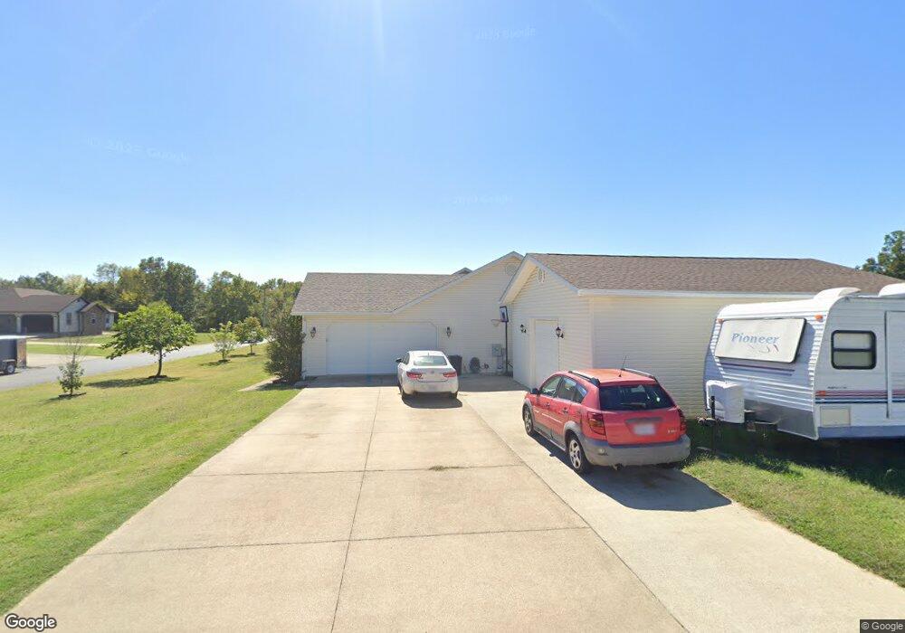
116 Estate Dr Poplar Bluff, MO 63901
Estimated Value: $250,000 - $294,000
3
Beds
--
Bath
1,919
Sq Ft
$146/Sq Ft
Est. Value
About This Home
This home is located at 116 Estate Dr, Poplar Bluff, MO 63901 and is currently estimated at $281,064, approximately $146 per square foot. 116 Estate Dr is a home located in Butler County with nearby schools including Oak Grove Elementary School, Poplar Bluff Fifth & Sixth Grade Center, and Poplar Bluff Junior High School.
Ownership History
Date
Name
Owned For
Owner Type
Purchase Details
Closed on
Jan 9, 2013
Sold by
Lansford Rick and Lansford Twilla
Bought by
Mossman Keioth and Mossman Melanie
Current Estimated Value
Home Financials for this Owner
Home Financials are based on the most recent Mortgage that was taken out on this home.
Original Mortgage
$155,325
Outstanding Balance
$107,897
Interest Rate
3.35%
Mortgage Type
New Conventional
Estimated Equity
$173,167
Purchase Details
Closed on
May 31, 2011
Sold by
Jeal American Investments Llc
Bought by
Lansford Rick
Create a Home Valuation Report for This Property
The Home Valuation Report is an in-depth analysis detailing your home's value as well as a comparison with similar homes in the area
Home Values in the Area
Average Home Value in this Area
Purchase History
| Date | Buyer | Sale Price | Title Company |
|---|---|---|---|
| Mossman Keioth | -- | None Available | |
| Lansford Rick | -- | -- |
Source: Public Records
Mortgage History
| Date | Status | Borrower | Loan Amount |
|---|---|---|---|
| Open | Mossman Keioth | $155,325 |
Source: Public Records
Tax History Compared to Growth
Tax History
| Year | Tax Paid | Tax Assessment Tax Assessment Total Assessment is a certain percentage of the fair market value that is determined by local assessors to be the total taxable value of land and additions on the property. | Land | Improvement |
|---|---|---|---|---|
| 2024 | $1,599 | $35,890 | $0 | $0 |
| 2023 | $1,598 | $35,890 | $0 | $0 |
| 2022 | $1,545 | $34,760 | $0 | $0 |
| 2021 | $1,546 | $34,760 | $0 | $0 |
| 2020 | $1,570 | $34,760 | $0 | $0 |
| 2019 | $1,568 | $34,760 | $0 | $0 |
| 2018 | $1,568 | $32,800 | $0 | $0 |
| 2017 | -- | $32,800 | $0 | $0 |
| 2016 | -- | $32,800 | $0 | $0 |
| 2015 | -- | $32,800 | $0 | $0 |
| 2014 | -- | $30,890 | $0 | $0 |
| 2012 | -- | $4,070 | $0 | $0 |
Source: Public Records
Map
Nearby Homes
- 53 Century Ave Unit 53
- 54 Century Ave Unit 54
- 264 Century
- 383 Golden Ln
- 255 Century Ave
- 46 Red Cedar Blvd
- 5705 Lake Front Dr
- 5704 Cedar Ridge Dr
- 2163 Township Line Rd
- 5711 Cedar Valley Dr
- 135 County Road 4415
- 257 Berkshire Dr
- 1149 Mistletoe Ln
- 0 Estates
- 0 Lot 62 Legacy Estates
- 475 Old Chisolm Trail
- 0 Lot 59 Legacy Estates
- 792 County Road 466
- 0 Lot 23 Legacy Estates
- 0 Lot 15 Legacy Estates
- 118 Estate Dr
- 207 Century
- 115 Estate Dr
- 2205 County Road 450
- 214 Century Ave
- 2261 County Road 450
- 2241 County Road 450
- 120 Estate Dr
- 217 Century
- 0 Century Ave
- 221 Century
- 52 Century Ave Unit 52
- 50 Century Ave Unit 50
- 49 Century Ave Unit 49
- 32 Century Ave Unit 32
- 31 Century Ave Unit 31
- 37 Century Ave
- 44Lot Century Ave
- 220 Century
- 2330 County Road 450