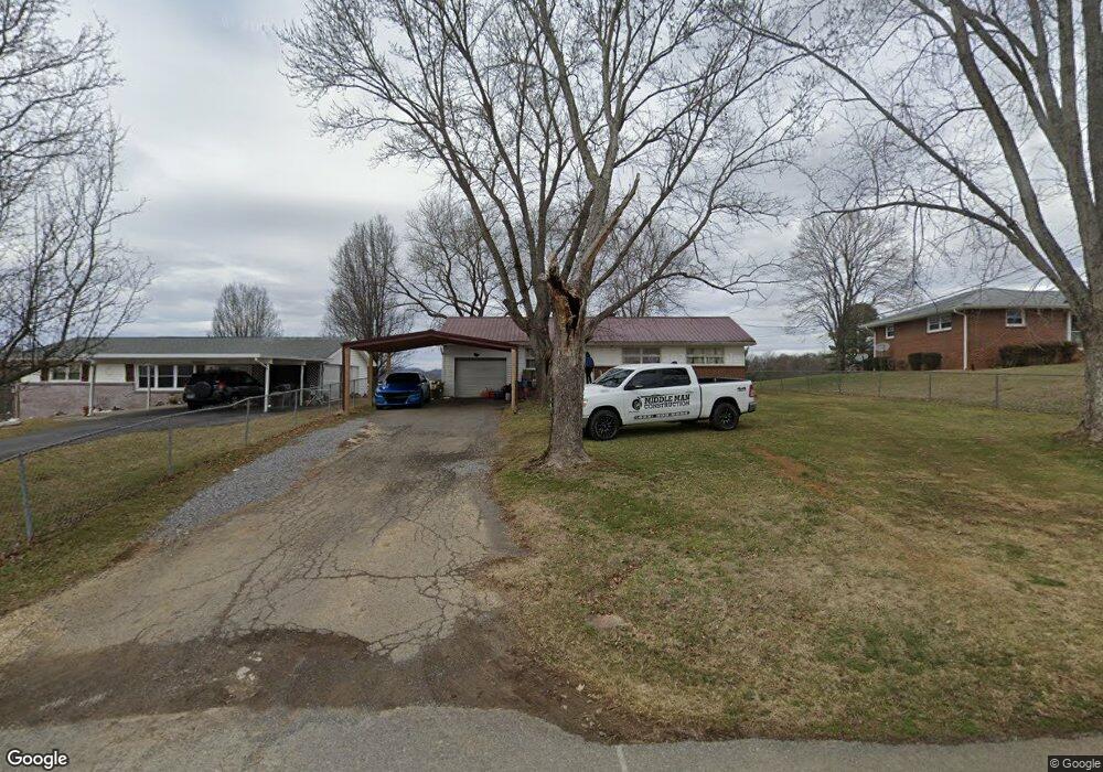
116 Forrest Rd Fall Branch, TN 37656
Estimated Value: $165,509 - $261,000
Studio
1
Bath
960
Sq Ft
$215/Sq Ft
Est. Value
About This Home
This home is located at 116 Forrest Rd, Fall Branch, TN 37656 and is currently estimated at $206,627, approximately $215 per square foot. 116 Forrest Rd is a home located in Washington County with nearby schools including Fall Branch Elementary School and Daniel Boone High School.
Ownership History
Date
Name
Owned For
Owner Type
Purchase Details
Closed on
May 25, 2021
Sold by
Lane Lois
Bought by
Lane Leonard and Lane Lauree
Current Estimated Value
Purchase Details
Closed on
Jun 21, 2005
Sold by
Stanley Matthew P
Bought by
Lane Leonard
Purchase Details
Closed on
Aug 12, 2002
Sold by
Roberts Mark
Bought by
Stanley Matthew
Purchase Details
Closed on
Apr 23, 1985
Bought by
Roberts Mark J and Roberts Rhonda J
Purchase Details
Closed on
Jan 1, 1981
Create a Home Valuation Report for This Property
The Home Valuation Report is an in-depth analysis detailing your home's value as well as a comparison with similar homes in the area
Home Values in the Area
Average Home Value in this Area
Purchase History
| Date | Buyer | Sale Price | Title Company |
|---|---|---|---|
| Lane Leonard | -- | None Available | |
| Lane Leonard | $60,000 | -- | |
| Stanley Matthew | $34,000 | -- | |
| Roberts Mark J | $35,000 | -- | |
| -- | $34,500 | -- |
Source: Public Records
Tax History
| Year | Tax Paid | Tax Assessment Tax Assessment Total Assessment is a certain percentage of the fair market value that is determined by local assessors to be the total taxable value of land and additions on the property. | Land | Improvement |
|---|---|---|---|---|
| 2025 | $895 | $52,350 | $3,375 | $48,975 |
| 2024 | $895 | $52,350 | $3,375 | $48,975 |
| 2022 | $535 | $24,875 | $2,750 | $22,125 |
| 2021 | $535 | $24,875 | $2,750 | $22,125 |
| 2020 | $535 | $24,875 | $2,750 | $22,125 |
| 2019 | $422 | $24,875 | $2,750 | $22,125 |
| 2018 | $422 | $17,750 | $2,750 | $15,000 |
| 2017 | $422 | $17,750 | $2,750 | $15,000 |
| 2016 | $422 | $17,750 | $2,750 | $15,000 |
| 2015 | $351 | $17,750 | $2,750 | $15,000 |
| 2014 | $351 | $17,750 | $2,750 | $15,000 |
Source: Public Records
Map
Nearby Homes
- 145 Morgan Ln
- 2145 Tennessee 93
- 207 Hermosa Dr
- 211 Sunny Hill Ct
- 238 Cherry Ln
- Lot 6 Tbd Tennessee 93
- Lot 4 Tbd Tennessee 93
- Lot 5 Tbd Tennessee 93
- Lot 2 Tbd Tennessee 93
- Lot 3 Tbd Tennessee 93
- Lot 1 Tbd Tennessee 93
- TBD Tennessee 93
- 137 Crestview Dr
- Tbd Oak Glen Cir
- 176 Moulton Rd
- Lots 3-4 Double Springs Rd
- Lot 2 Double Springs Rd
- 0 Jearoldstown Rd Unit 40/41
- 901 Old Blairs Gap Rd
- 704 Church Hill Dr
- 114 Forrest Rd
- 124 Forrest Rd
- 127 Forrest Rd
- 102 Forrest Rd
- 2021 Highway 93
- 2021 Highway 93
- 132 Forrest Rd
- 2023 Highway 93
- 2021 Tennessee 93
- 135 Forrest Rd
- 2000 Tennessee 93
- 2004 Highway 93
- 2025 Tennessee 93
- 134 Forrest Rd
- 113 Warren St
- 2012 Tennessee 93
- 2025 Highway 93
- 119 Kimberly Ln
- 2012 Highway 93
- 2016 Tennessee 93
Your Personal Tour Guide
Ask me questions while you tour the home.