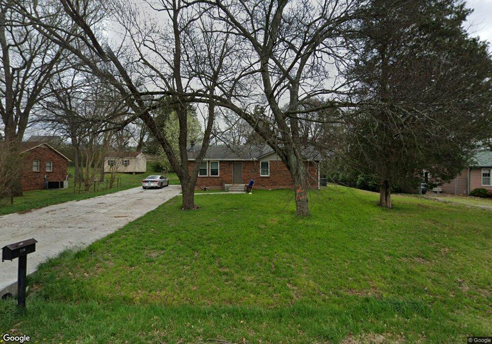
116 Long Rifle Rd Smyrna, TN 37167
Estimated Value: $254,000 - $312,000
--
Bed
1
Bath
1,100
Sq Ft
$256/Sq Ft
Est. Value
About This Home
This home is located at 116 Long Rifle Rd, Smyrna, TN 37167 and is currently estimated at $281,577, approximately $255 per square foot. 116 Long Rifle Rd is a home located in Rutherford County with nearby schools including Stewartsboro Elementary School, Rocky Fork Middle School, and Smyrna High School.
Ownership History
Date
Name
Owned For
Owner Type
Purchase Details
Closed on
Jun 11, 2019
Sold by
Jones Larry
Bought by
Leiva Melendez Jesus
Current Estimated Value
Home Financials for this Owner
Home Financials are based on the most recent Mortgage that was taken out on this home.
Original Mortgage
$110,600
Outstanding Balance
$97,244
Interest Rate
4.1%
Mortgage Type
New Conventional
Estimated Equity
$184,333
Purchase Details
Closed on
Dec 13, 2013
Sold by
Maloney Andy
Bought by
Jones Larry
Home Financials for this Owner
Home Financials are based on the most recent Mortgage that was taken out on this home.
Original Mortgage
$47,200
Interest Rate
4.38%
Mortgage Type
New Conventional
Purchase Details
Closed on
Nov 25, 2013
Bought by
Maloney Andy and The 116 Long Rifle Road Trust
Home Financials for this Owner
Home Financials are based on the most recent Mortgage that was taken out on this home.
Original Mortgage
$47,200
Interest Rate
4.38%
Mortgage Type
New Conventional
Create a Home Valuation Report for This Property
The Home Valuation Report is an in-depth analysis detailing your home's value as well as a comparison with similar homes in the area
Home Values in the Area
Average Home Value in this Area
Purchase History
| Date | Buyer | Sale Price | Title Company |
|---|---|---|---|
| Leiva Melendez Jesus | $158,000 | Nashville Title Ins Corp | |
| Jones Larry | $59,000 | -- | |
| Maloney Andy | $54,000 | -- |
Source: Public Records
Mortgage History
| Date | Status | Borrower | Loan Amount |
|---|---|---|---|
| Open | Leiva Melendez Jesus | $110,600 | |
| Previous Owner | Jones Larry | $47,200 |
Source: Public Records
Tax History Compared to Growth
Tax History
| Year | Tax Paid | Tax Assessment Tax Assessment Total Assessment is a certain percentage of the fair market value that is determined by local assessors to be the total taxable value of land and additions on the property. | Land | Improvement |
|---|---|---|---|---|
| 2025 | $1,212 | $50,500 | $13,750 | $36,750 |
| 2024 | $1,212 | $50,500 | $13,750 | $36,750 |
| 2023 | $1,180 | $49,150 | $13,750 | $35,400 |
| 2022 | $1,052 | $49,150 | $13,750 | $35,400 |
| 2021 | $913 | $31,275 | $7,750 | $23,525 |
| 2020 | $913 | $31,275 | $7,750 | $23,525 |
| 2019 | $913 | $31,275 | $7,750 | $23,525 |
| 2018 | $876 | $31,275 | $0 | $0 |
| 2017 | $816 | $22,900 | $0 | $0 |
| 2016 | $816 | $22,900 | $0 | $0 |
| 2015 | $816 | $22,900 | $0 | $0 |
| 2014 | $569 | $22,900 | $0 | $0 |
| 2013 | -- | $20,350 | $0 | $0 |
Source: Public Records
Map
Nearby Homes
- 308 Custer Ct
- 340 Stewarts Landing Cir
- 211 Stewarts Landing Cir
- 213 Stewarts Landing Cir
- 203 Longfellow Ln
- 109 Longfellow Ln
- 101 Longfellow Ln
- 104 Evanmeade Dr
- 121 Crockett Ct
- 1026 Rosemont Terrace
- 1014 Rosemont Terrace
- 0 Old Nashville Hwy Unit RTC2943706
- 303 Davis Park Dr
- 2110 Alteras Dr
- 647 Legacy Dr
- 1023 Avery Park Dr
- 335 Longhorn Dr
- 321 Longhorn Dr
- 374 Longhorn Dr
- 320 Longhorn Dr
- 118 Long Rifle Rd
- 114 Long Rifle Rd
- 403 Pony Dr
- 405 Pony Dr
- 401 Pony Dr
- 120 Long Rifle Rd
- 112 Long Rifle Rd
- 125 Long Rifle Rd
- 123 Long Rifle Rd
- 127 Long Rifle Rd
- 407 Pony Dr
- 121 Long Rifle Rd
- 110 Long Rifle Rd
- 122 Long Rifle Rd
- 129 Long Rifle Rd
- 409 Pony Dr
- 119 Long Rifle Rd
- 404 Pony Dr
- 406 Pony Dr
- 124 Long Rifle Rd