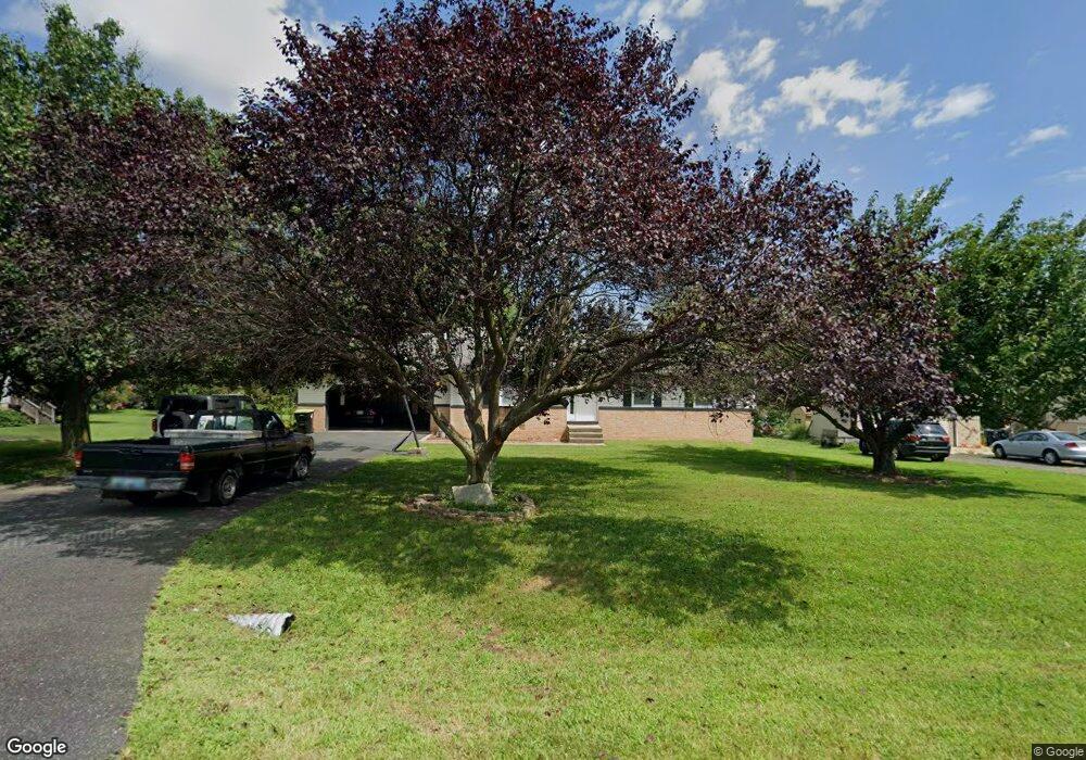
116 Macintosh Dr Colora, MD 21917
Estimated Value: $307,000 - $368,000
Studio
2
Baths
1,232
Sq Ft
$270/Sq Ft
Est. Value
About This Home
This home is located at 116 Macintosh Dr, Colora, MD 21917 and is currently estimated at $332,629, approximately $269 per square foot. 116 Macintosh Dr is a home located in Cecil County with nearby schools including Rising Sun Elementary School, Rising Sun Middle School, and Rising Sun High School.
Ownership History
Date
Name
Owned For
Owner Type
Purchase Details
Closed on
Oct 10, 2007
Sold by
Dye Thomas D
Bought by
Tt & R Properties Llc
Current Estimated Value
Home Financials for this Owner
Home Financials are based on the most recent Mortgage that was taken out on this home.
Original Mortgage
$200,000
Outstanding Balance
$126,684
Interest Rate
6.49%
Mortgage Type
Purchase Money Mortgage
Estimated Equity
$205,945
Purchase Details
Closed on
Sep 27, 2007
Sold by
Dye Thomas D
Bought by
Tt & R Properties Llc
Home Financials for this Owner
Home Financials are based on the most recent Mortgage that was taken out on this home.
Original Mortgage
$200,000
Outstanding Balance
$126,684
Interest Rate
6.49%
Mortgage Type
Purchase Money Mortgage
Estimated Equity
$205,945
Purchase Details
Closed on
Jun 18, 1985
Sold by
Orchard Knoll, Inc.
Bought by
Wilson William Raymond
Create a Home Valuation Report for This Property
The Home Valuation Report is an in-depth analysis detailing your home's value as well as a comparison with similar homes in the area
Home Values in the Area
Average Home Value in this Area
Purchase History
| Date | Buyer | Sale Price | Title Company |
|---|---|---|---|
| Tt & R Properties Llc | $217,500 | -- | |
| Dye Thomas D | $217,500 | -- | |
| Tt & R Properties Llc | $217,500 | -- | |
| Dye Thomas D | $217,500 | -- | |
| Wilson William Raymond | $9,000 | -- |
Source: Public Records
Mortgage History
| Date | Status | Borrower | Loan Amount |
|---|---|---|---|
| Open | Dye Thomas D | $200,000 | |
| Closed | Tt & R Properties Llc | $200,000 | |
| Closed | Dye Thomas D | $200,000 |
Source: Public Records
Tax History
| Year | Tax Paid | Tax Assessment Tax Assessment Total Assessment is a certain percentage of the fair market value that is determined by local assessors to be the total taxable value of land and additions on the property. | Land | Improvement |
|---|---|---|---|---|
| 2025 | $2,843 | $254,300 | $80,300 | $174,000 |
| 2024 | $2,715 | $242,567 | $0 | $0 |
| 2023 | $2,609 | $230,833 | $0 | $0 |
| 2022 | $2,528 | $219,100 | $80,300 | $138,800 |
| 2021 | $2,473 | $211,667 | $0 | $0 |
| 2020 | $2,416 | $204,233 | $0 | $0 |
| 2019 | $2,330 | $196,800 | $80,300 | $116,500 |
| 2018 | $2,269 | $191,500 | $0 | $0 |
| 2017 | $2,208 | $186,200 | $0 | $0 |
| 2016 | $2,055 | $180,900 | $0 | $0 |
| 2015 | $2,055 | $180,900 | $0 | $0 |
| 2014 | $1,944 | $180,900 | $0 | $0 |
Source: Public Records
Map
Nearby Homes
- Lot 8 White Spruce Way
- 0 Colora Rd
- 945 Firetower Rd
- 0 Boyd Dr
- 91 Mountain Rd
- 106 Kari Ct
- 1741 Liberty Grove Rd
- 66 Spready Oak Rd
- 404 Pearl St
- 43 Pearl St
- 27 Haines Ave
- lot 2 White Spruce Way
- 10 Pogue Ave
- 27 Behm Ln
- 306 Ryan Dr
- TBD Pine Needle Ct
- TBD Rowland Dr
- 62 Porters Bridge Rd
- 10 N Hills Dr
- 39 N Friendship Ct
- 124 Macintosh Dr
- 108 Macintosh Dr
- 100 Macintosh Dr
- 132 Macintosh Dr
- 119 Macintosh Dr
- 107 Macintosh Dr
- 129 Macintosh Dr
- 140 Macintosh Dr
- 97 Macintosh Dr
- 88 Macintosh Dr
- 139 Macintosh Dr
- 85 Macintosh Dr
- 147 Macintosh Dr
- 0 Get Around Dr NE Unit 1000105103
- 0 Get Around Dr NE Unit CC9880607
- 75 Macintosh Dr
- 76 Macintosh Dr
- 157 Macintosh Dr
- 162 Macintosh Dr
- 65 Macintosh Dr
Your Personal Tour Guide
Ask me questions while you tour the home.