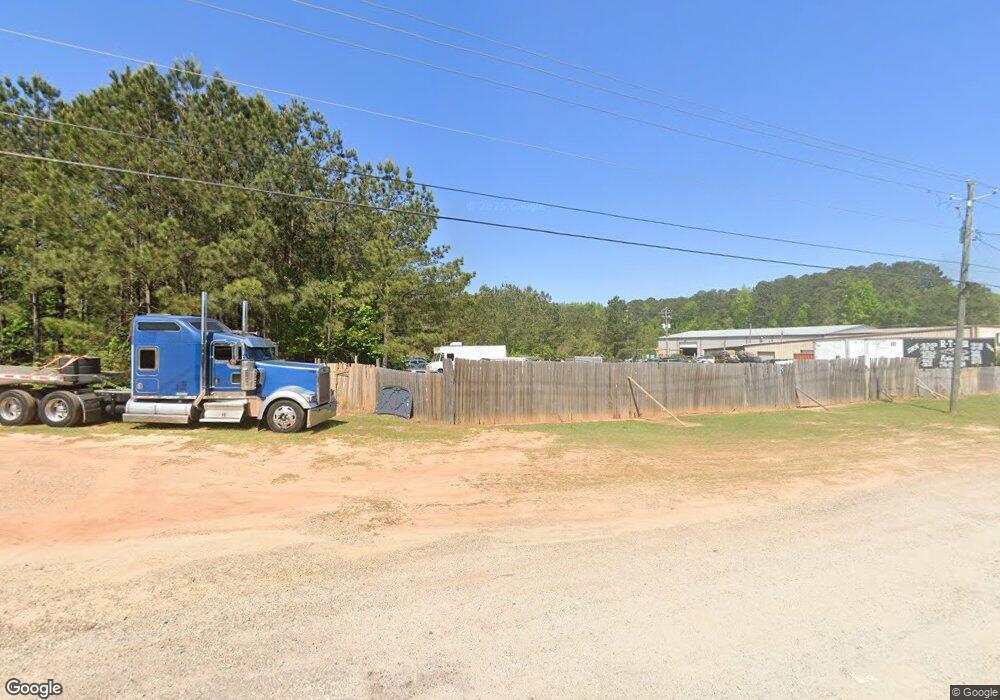
116 Malier Rd Hampton, GA 30228
Spalding County NeighborhoodEstimated Value: $327,791 - $1,474,000
2
Beds
3
Baths
2,699
Sq Ft
$237/Sq Ft
Est. Value
About This Home
This home is located at 116 Malier Rd, Hampton, GA 30228 and is currently estimated at $640,198, approximately $237 per square foot. 116 Malier Rd is a home located in Spalding County with nearby schools including Beaverbrook Elementary School, Cowan Road Middle School, and Griffin High School.
Ownership History
Date
Name
Owned For
Owner Type
Purchase Details
Closed on
Jan 31, 2008
Sold by
Morris Steven D
Bought by
Hendrix Randall R
Current Estimated Value
Home Financials for this Owner
Home Financials are based on the most recent Mortgage that was taken out on this home.
Original Mortgage
$730,000
Outstanding Balance
$453,533
Interest Rate
6.12%
Mortgage Type
Trade
Estimated Equity
$186,665
Purchase Details
Closed on
Jan 2, 1990
Bought by
Strickland W Carol
Purchase Details
Closed on
Nov 16, 1984
Sold by
Stricland H L
Bought by
Strickland Margaret
Purchase Details
Closed on
Jan 6, 1983
Sold by
Taylor C D
Bought by
Strickland H L
Purchase Details
Closed on
Sep 18, 1981
Sold by
Taylor C D
Bought by
Taylor C D
Purchase Details
Closed on
Nov 7, 1967
Sold by
Gay Gay W and Gay Ethel
Bought by
Taylor C D
Purchase Details
Closed on
Aug 17, 1945
Bought by
Gay Gay W and Gay Ethel
Create a Home Valuation Report for This Property
The Home Valuation Report is an in-depth analysis detailing your home's value as well as a comparison with similar homes in the area
Home Values in the Area
Average Home Value in this Area
Purchase History
| Date | Buyer | Sale Price | Title Company |
|---|---|---|---|
| Hendrix Randall R | $750,000 | -- | |
| Strickland W Carol | -- | -- | |
| Strickland Margaret | -- | -- | |
| Strickland H L | $50,000 | -- | |
| Taylor C D | -- | -- | |
| Taylor C D | $33,000 | -- | |
| Gay Gay W | -- | -- |
Source: Public Records
Mortgage History
| Date | Status | Borrower | Loan Amount |
|---|---|---|---|
| Open | Hendrix Randall R | $730,000 |
Source: Public Records
Tax History Compared to Growth
Tax History
| Year | Tax Paid | Tax Assessment Tax Assessment Total Assessment is a certain percentage of the fair market value that is determined by local assessors to be the total taxable value of land and additions on the property. | Land | Improvement |
|---|---|---|---|---|
| 2024 | $1,374 | $65,611 | $33,504 | $32,107 |
| 2023 | $2,347 | $63,050 | $33,504 | $29,546 |
| 2022 | $1,872 | $51,490 | $25,772 | $25,718 |
| 2021 | $1,803 | $49,589 | $25,772 | $23,817 |
| 2020 | $1,810 | $49,589 | $25,772 | $23,817 |
| 2019 | $1,846 | $49,589 | $25,772 | $23,817 |
| 2018 | $1,797 | $47,033 | $25,772 | $21,261 |
| 2017 | $1,748 | $47,033 | $25,772 | $21,261 |
| 2016 | $1,780 | $47,033 | $25,772 | $21,261 |
| 2015 | $1,833 | $47,033 | $25,772 | $21,261 |
| 2014 | $1,870 | $47,033 | $25,772 | $21,261 |
Source: Public Records
Map
Nearby Homes
- 11899 Conrad Cir
- 3330 Highway 3 N
- 105 Anne St
- 295 Hillview Rd
- 466 & 472 Minter Dr
- 1980 Kilgore Rd
- 159 Arnold Rd
- 136 Harrison Place
- 2987 Steele Rd
- 212 Hedgewood Dr
- 189 Lake Hampton Dr
- 360 Floyd Rd
- 4454 Georgia Highway 3
- 1690 Patterson Rd
- 165 Lake Hampton Dr
- 600 Hillview Rd
- 301 Othello Dr
- 541 Hamlet Dr
- 1070 N Pomona Rd
- 224 Juliet Dr
- 4287 U S 19
- 4287 Highway 19 41
- 50 Highway 19 41 Malier Unit B
- 50 Highway 19 41 Malier
- 2051&2053 North Expy
- 48 Malier Rd Unit C, D & E
- 48 Malier Rd Unit A
- 48 Malier Rd Unit F & G
- 48 Malier Rd Unit B
- 48 Malier Rd Unit E
- 48 Malier Rd
- 4213 Highway 19 41
- 50 Malier Rd
- 48 Malier Rd
- 50 Malier Rd
- 4170 N Expresswway
- 228 Malier Rd
- 5291 Old Atlanta Rd Unit 203
- 5291 Old Atlanta Rd Unit LOT 156
- 5291 Old Atlanta Rd Unit 165
