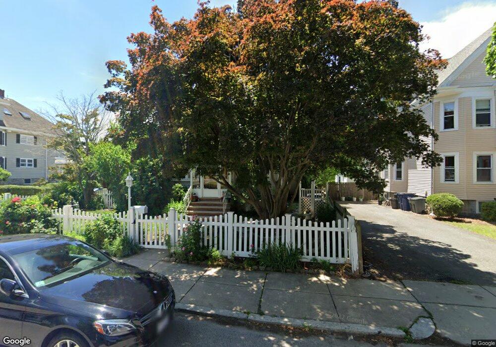
116 Manthorne Rd West Roxbury, MA 02132
West Roxbury NeighborhoodEstimated Value: $1,002,000 - $1,350,000
5
Beds
2
Baths
2,912
Sq Ft
$397/Sq Ft
Est. Value
About This Home
This home is located at 116 Manthorne Rd, West Roxbury, MA 02132 and is currently estimated at $1,155,763, approximately $396 per square foot. 116 Manthorne Rd is a home located in Suffolk County with nearby schools including Holy Name Parish School, St Theresa School, and The Roxbury Latin School.
Create a Home Valuation Report for This Property
The Home Valuation Report is an in-depth analysis detailing your home's value as well as a comparison with similar homes in the area
Home Values in the Area
Average Home Value in this Area
Tax History Compared to Growth
Tax History
| Year | Tax Paid | Tax Assessment Tax Assessment Total Assessment is a certain percentage of the fair market value that is determined by local assessors to be the total taxable value of land and additions on the property. | Land | Improvement |
|---|---|---|---|---|
| 2025 | $10,737 | $927,200 | $253,900 | $673,300 |
| 2024 | $10,304 | $945,300 | $277,900 | $667,400 |
| 2023 | $9,575 | $891,500 | $262,100 | $629,400 |
| 2022 | $8,818 | $810,500 | $238,300 | $572,200 |
| 2021 | $8,190 | $767,600 | $229,100 | $538,500 |
| 2020 | $7,717 | $730,800 | $193,400 | $537,400 |
| 2019 | $7,180 | $681,200 | $165,700 | $515,500 |
| 2018 | $6,865 | $655,100 | $165,700 | $489,400 |
| 2017 | $6,868 | $648,500 | $165,700 | $482,800 |
| 2016 | $6,672 | $606,500 | $165,700 | $440,800 |
| 2015 | $6,618 | $546,500 | $163,900 | $382,600 |
| 2014 | $6,486 | $515,600 | $163,900 | $351,700 |
Source: Public Records
Map
Nearby Homes
- 55 Redlands Rd
- 10 Burwell Rd
- 168 Maple St
- 1789 Centre St Unit 202
- 19 Pomfret St
- 37 Pomfret St
- 37 Hastings St Unit 103
- 416 Belgrade Ave Unit 25
- 110 Park St Unit 3
- 701 Vfw Pkwy
- 76 Vermont St
- 22 Bellevue St
- 150 Tyndale St Unit 2
- 311 Belgrade Ave
- 76 Potomac St
- 37 Montvale St Unit 2
- 170 Payson Rd
- 539 Lagrange St
- 43 Ainsworth St Unit 2
- 257 Belgrade Ave
- 120 Manthorne Rd Unit 2
- 120 Manthorne Rd Unit 1
- 115 Redlands Rd
- 112 Manthorne Rd Unit 1
- 112 Manthorne Rd
- 112 Manthorne Rd Unit 2
- 124 Manthorne Rd Unit 2
- 124 Manthorne Rd Unit 1
- 124 Manthorne Rd
- 117 Redlands Rd
- 117 Redlands Rd Unit 1
- 109 Redlands Rd
- 115 Manthorne Rd
- 108 Manthorne Rd
- 121 Redlands Rd
- 119 Manthorne Rd Unit 121
- 130 Manthorne Rd
- 128 Manthorne Rd
- 130 Manthorne Rd Unit 130
- 130 Manthorne Rd Unit 2