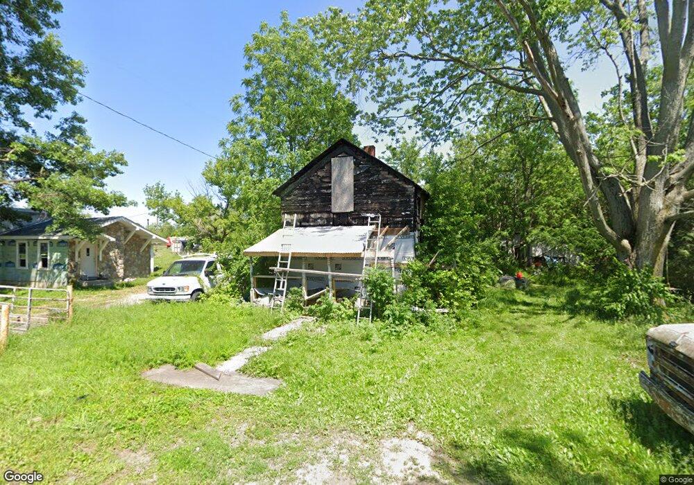
116 Maple St Risingsun, OH 43457
Estimated Value: $68,233 - $95,000
2
Beds
1
Bath
871
Sq Ft
$95/Sq Ft
Est. Value
About This Home
This home is located at 116 Maple St, Risingsun, OH 43457 and is currently estimated at $82,411, approximately $94 per square foot. 116 Maple St is a home with nearby schools including Lakota Elementary School, Lakota Middle School, and Lakota High School.
Ownership History
Date
Name
Owned For
Owner Type
Purchase Details
Closed on
Jul 12, 2019
Sold by
Gallagher Danny
Bought by
Tyson Jarret
Current Estimated Value
Purchase Details
Closed on
May 7, 1999
Sold by
Gallagher Wendall and Gallagher Erma J
Bought by
Gallagher Wendell
Home Financials for this Owner
Home Financials are based on the most recent Mortgage that was taken out on this home.
Original Mortgage
$22,400
Interest Rate
6.99%
Purchase Details
Closed on
Feb 12, 1979
Bought by
Gallagher Wendall
Create a Home Valuation Report for This Property
The Home Valuation Report is an in-depth analysis detailing your home's value as well as a comparison with similar homes in the area
Purchase History
| Date | Buyer | Sale Price | Title Company |
|---|---|---|---|
| Tyson Jarret | $2,000 | None Available | |
| Gallagher Wendell | -- | Perrysburg Title Agency Inc | |
| Gallagher Wendall | $13,500 | -- |
Source: Public Records
Mortgage History
| Date | Status | Borrower | Loan Amount |
|---|---|---|---|
| Previous Owner | Gallagher Wendell | $22,400 |
Source: Public Records
Tax History
| Year | Tax Paid | Tax Assessment Tax Assessment Total Assessment is a certain percentage of the fair market value that is determined by local assessors to be the total taxable value of land and additions on the property. | Land | Improvement |
|---|---|---|---|---|
| 2025 | $1,283 | $4,060 | $3,325 | $735 |
| 2024 | $1,279 | $4,620 | $3,325 | $1,295 |
| 2023 | $1,279 | $4,630 | $3,330 | $1,300 |
| 2021 | $1,267 | $4,070 | $3,050 | $1,020 |
| 2020 | $1,191 | $4,070 | $3,050 | $1,020 |
| 2019 | $243 | $3,930 | $3,050 | $880 |
| 2018 | $740 | $3,930 | $3,050 | $880 |
| 2017 | $867 | $3,930 | $3,050 | $880 |
| 2016 | $953 | $3,470 | $3,050 | $420 |
| 2015 | $953 | $8,830 | $3,050 | $5,780 |
| 2014 | $1,009 | $8,830 | $3,050 | $5,780 |
| 2013 | $1,024 | $8,830 | $3,050 | $5,780 |
Source: Public Records
Map
Nearby Homes
- 1897 Bays Rd
- 119 E Main St
- 7563 County Road 21
- 6540 County Road 1
- 6480 County Road 1
- 9943 Wayne Rd
- 145 W Bryant St
- 145 W Strong St
- 115 N Evans St
- 117 Maple St
- 217 N East St
- 12345 Grove Rd
- 4509 N US Highway 23
- 0 Plaza Dr
- 13527 McCutcheonville Rd
- 1324 N Union St
- 10214 W State Route 12
- 963 N Vine St
- 435 Park Ave
- 435 Park Ave Unit 101
Your Personal Tour Guide
Ask me questions while you tour the home.