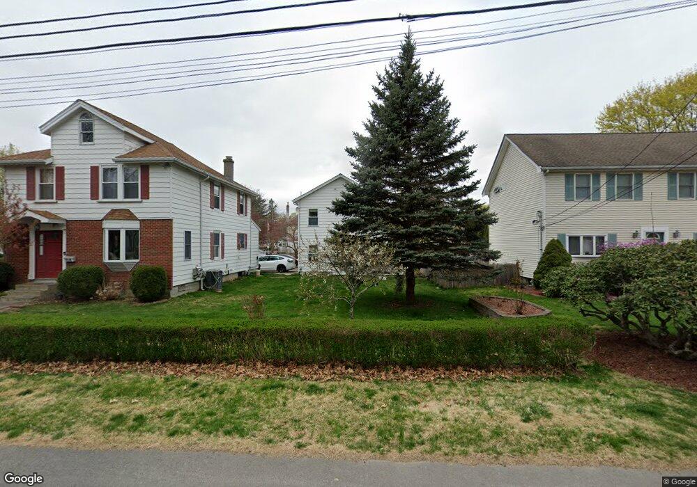
116 Meadow St Unit B Framingham, MA 01701
Saxonville NeighborhoodEstimated Value: $749,000 - $814,000
1
Bed
1
Bath
800
Sq Ft
$977/Sq Ft
Est. Value
About This Home
This home is located at 116 Meadow St Unit B, Framingham, MA 01701 and is currently estimated at $781,381, approximately $976 per square foot. 116 Meadow St Unit B is a home located in Middlesex County with nearby schools including Framingham High School, Christa McAuliffe Charter School, and MetroWest Jewish Day School.
Ownership History
Date
Name
Owned For
Owner Type
Purchase Details
Closed on
Dec 10, 2019
Sold by
Montillo Gregorio and Montillo Deena
Bought by
Minneman Michael J
Current Estimated Value
Home Financials for this Owner
Home Financials are based on the most recent Mortgage that was taken out on this home.
Original Mortgage
$456,525
Outstanding Balance
$403,279
Interest Rate
3.7%
Mortgage Type
New Conventional
Estimated Equity
$378,102
Purchase Details
Closed on
Oct 1, 1982
Bought by
Montillo Gregorio and Montillo Deena
Create a Home Valuation Report for This Property
The Home Valuation Report is an in-depth analysis detailing your home's value as well as a comparison with similar homes in the area
Home Values in the Area
Average Home Value in this Area
Purchase History
| Date | Buyer | Sale Price | Title Company |
|---|---|---|---|
| Minneman Michael J | $507,250 | None Available | |
| Minneman Michael J | $507,250 | None Available | |
| Montillo Gregorio | $62,900 | -- |
Source: Public Records
Mortgage History
| Date | Status | Borrower | Loan Amount |
|---|---|---|---|
| Open | Minneman Michael J | $456,525 | |
| Closed | Minneman Michael J | $456,525 | |
| Previous Owner | Montillo Gregorio | $277,000 | |
| Previous Owner | Montillo Gregorio | $15,000 |
Source: Public Records
Tax History
| Year | Tax Paid | Tax Assessment Tax Assessment Total Assessment is a certain percentage of the fair market value that is determined by local assessors to be the total taxable value of land and additions on the property. | Land | Improvement |
|---|---|---|---|---|
| 2025 | $7,735 | $647,800 | $261,100 | $386,700 |
| 2024 | $7,313 | $586,900 | $233,200 | $353,700 |
| 2023 | $6,896 | $526,800 | $208,100 | $318,700 |
| 2022 | $6,701 | $487,700 | $188,900 | $298,800 |
| 2021 | $6,417 | $456,700 | $181,500 | $275,200 |
| 2020 | $5,382 | $359,300 | $165,000 | $194,300 |
| 2019 | $5,455 | $354,700 | $165,000 | $189,700 |
| 2018 | $5,461 | $334,600 | $158,800 | $175,800 |
| 2017 | $5,332 | $319,100 | $154,200 | $164,900 |
| 2016 | $5,233 | $301,100 | $154,200 | $146,900 |
| 2015 | $5,186 | $291,000 | $154,400 | $136,600 |
Source: Public Records
Map
Nearby Homes
- 189 Danforth St
- 18 Jay Dr
- 11 Danforth Park Rd
- 18 Brigati Terrace
- 30 A St
- 62 Central St
- 689 Old Connecticut Path
- 19 Park Ave
- 1376 Concord St
- 225 W Plain St
- 35 Gleason St
- 11 Edith Rd
- 226 Stonebridge Rd
- 227 Water St
- 38 Bradford Rd
- 231 Central St
- 4 Tartufi Cir
- 30 Donlon St
- 33 Oak Hill Rd
- 447 Old Connecticut Path
Your Personal Tour Guide
Ask me questions while you tour the home.