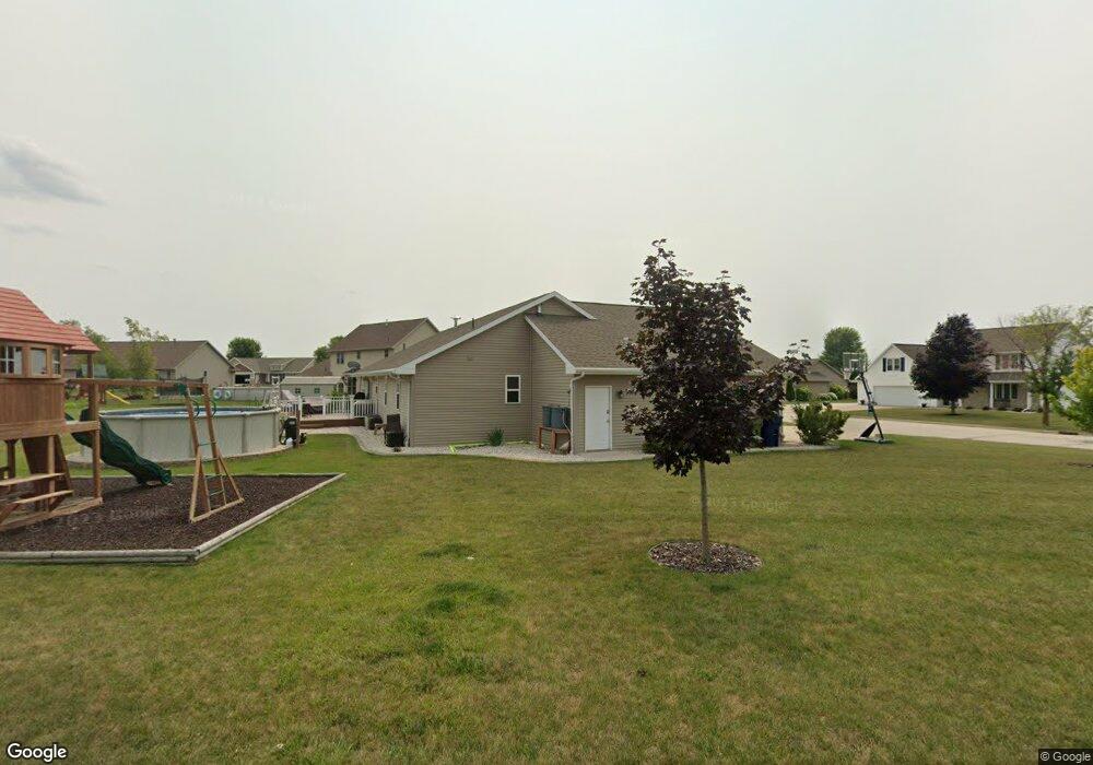
116 Norman Ln Wrightstown, WI 54180
Estimated Value: $392,330 - $450,000
Studio
--
Bath
--
Sq Ft
0.39
Acres
About This Home
This home is located at 116 Norman Ln, Wrightstown, WI 54180 and is currently estimated at $416,583. 116 Norman Ln is a home located in Brown County with nearby schools including Wrightstown Elementary School, Wrightstown Middle School, and Wrightstown High School.
Ownership History
Date
Name
Owned For
Owner Type
Purchase Details
Closed on
Aug 27, 2015
Sold by
Boort John Ver
Bought by
Wehlage Andrew J and Wehlage Kasey M
Current Estimated Value
Home Financials for this Owner
Home Financials are based on the most recent Mortgage that was taken out on this home.
Original Mortgage
$209,950
Outstanding Balance
$165,239
Interest Rate
3.97%
Mortgage Type
New Conventional
Estimated Equity
$251,344
Purchase Details
Closed on
Dec 31, 2013
Sold by
V B K Investments Llc
Bought by
Verboort John
Create a Home Valuation Report for This Property
The Home Valuation Report is an in-depth analysis detailing your home's value as well as a comparison with similar homes in the area
Home Values in the Area
Average Home Value in this Area
Purchase History
| Date | Buyer | Sale Price | Title Company |
|---|---|---|---|
| Wehlage Andrew J | $221,000 | Liberty Title | |
| Verboort John | $52,000 | Liberty Title |
Source: Public Records
Mortgage History
| Date | Status | Borrower | Loan Amount |
|---|---|---|---|
| Open | Wehlage Andrew J | $209,950 |
Source: Public Records
Tax History
| Year | Tax Paid | Tax Assessment Tax Assessment Total Assessment is a certain percentage of the fair market value that is determined by local assessors to be the total taxable value of land and additions on the property. | Land | Improvement |
|---|---|---|---|---|
| 2024 | $4,841 | $344,400 | $55,000 | $289,400 |
| 2023 | $5,248 | $344,400 | $55,000 | $289,400 |
| 2022 | $5,395 | $230,400 | $41,300 | $189,100 |
| 2021 | $5,213 | $230,400 | $41,300 | $189,100 |
| 2020 | $5,097 | $230,400 | $41,300 | $189,100 |
| 2019 | $4,805 | $230,400 | $41,300 | $189,100 |
| 2018 | $4,497 | $230,400 | $41,300 | $189,100 |
| 2017 | $3,994 | $195,600 | $31,400 | $164,200 |
| 2016 | $4,240 | $193,700 | $31,400 | $162,300 |
| 2015 | $4,256 | $193,700 | $31,400 | $162,300 |
| 2014 | $685 | $31,400 | $31,400 | $0 |
| 2013 | $685 | $31,400 | $31,400 | $0 |
Source: Public Records
Map
Nearby Homes
- 109 Nicole Ln
- 544 Nicole Ln
- 309 Louise Dr
- 421 Fawnwood Ct
- 217 Patricia Ln
- 119 Main St
- 4207 Lost Dauphin Rd
- 4079 Lost Dauphin Rd
- 113 Beckerae Ct
- 254 Peterlynn Dr
- 269 Kerrigan Dr
- 278 Kerrigan Dr
- 110 Beckerae Ct
- 287 Kerrigan Dr
- 308 Kerrigan Dr
- 128 Beckerae Ct
- 263 Kerrigan Dr
- 302 Kerrigan Dr
- 109 Theunis Dr
- 215 Theunis Dr
Your Personal Tour Guide
Ask me questions while you tour the home.