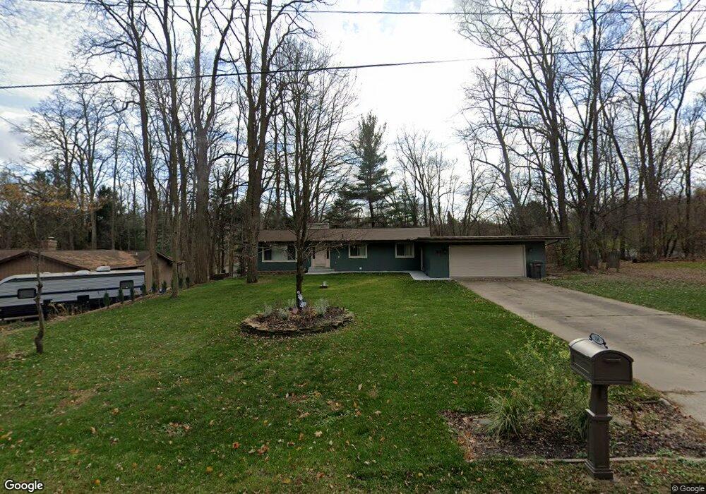
116 Orbit Dr Battle Creek, MI 49014
Estimated Value: $258,509 - $333,000
3
Beds
3
Baths
1,300
Sq Ft
$218/Sq Ft
Est. Value
About This Home
This home is located at 116 Orbit Dr, Battle Creek, MI 49014 and is currently estimated at $283,377, approximately $217 per square foot. 116 Orbit Dr is a home located in Calhoun County with nearby schools including Harper Creek Middle School, Harper Creek High School, and St. Philip Catholic Central High School.
Ownership History
Date
Name
Owned For
Owner Type
Purchase Details
Closed on
May 1, 2024
Sold by
Grenda Stephen D
Bought by
Stephen D Grenda And Tammy M Grenda Living Tr and Grenda
Current Estimated Value
Purchase Details
Closed on
May 17, 2010
Sold by
Tomlinson Robert E and Tomlinson Karan E
Bought by
Grenda Stephen D
Home Financials for this Owner
Home Financials are based on the most recent Mortgage that was taken out on this home.
Original Mortgage
$125,644
Interest Rate
5.13%
Mortgage Type
VA
Purchase Details
Closed on
Sep 4, 1992
Create a Home Valuation Report for This Property
The Home Valuation Report is an in-depth analysis detailing your home's value as well as a comparison with similar homes in the area
Home Values in the Area
Average Home Value in this Area
Purchase History
| Date | Buyer | Sale Price | Title Company |
|---|---|---|---|
| Stephen D Grenda And Tammy M Grenda Living Tr | -- | None Listed On Document | |
| Stephen D Grenda And Tammy M Grenda Living Tr | -- | None Listed On Document | |
| Grenda Stephen D | $123,000 | Chicago Title | |
| -- | $86,500 | -- |
Source: Public Records
Mortgage History
| Date | Status | Borrower | Loan Amount |
|---|---|---|---|
| Previous Owner | Grenda Stephen D | $125,644 |
Source: Public Records
Tax History Compared to Growth
Tax History
| Year | Tax Paid | Tax Assessment Tax Assessment Total Assessment is a certain percentage of the fair market value that is determined by local assessors to be the total taxable value of land and additions on the property. | Land | Improvement |
|---|---|---|---|---|
| 2025 | $49 | $115,700 | $0 | $0 |
| 2024 | $1,902 | $109,260 | $0 | $0 |
| 2023 | $1,902 | $0 | $0 | $0 |
| 2022 | $1,853 | $88,640 | $0 | $0 |
| 2021 | $2,999 | $82,800 | $0 | $0 |
| 2020 | $3,055 | $81,300 | $0 | $0 |
| 2019 | $3,480 | $75,600 | $0 | $0 |
| 2018 | $2,474 | $71,800 | $9,100 | $62,700 |
| 2017 | $2,474 | $70,750 | $0 | $0 |
| 2016 | $2,474 | $66,450 | $0 | $0 |
| 2015 | $1,546 | $63,600 | $6,223 | $57,377 |
| 2014 | $1,546 | $63,200 | $6,223 | $56,977 |
Source: Public Records
Map
Nearby Homes
- 207 Embury Dr
- 14034 6 1 2 Mile Rd
- 767 Cambridge Dr
- 317 Country Club Terrace
- 415 Oakvale Ct
- 326 Goldenview Dr
- 275 Pawnee St
- 498 Ashton Lake Dr
- 13661 6 1 2 Mile Rd
- 214 Morningside Dr
- 210 Briar Hill Dr
- 0 Cherokee St
- 156 Woodway Ave
- 167 Kistler Rd
- VL Beadle Lake Rd
- V/L Beadle Lake Rd
- 159 Beadle Lake Dr
- 1230 Golden Ave
- 2851 Kistler Rd
- V/L Riverside Dr
- 122 Orbit Dr
- 14600 6 1/2 Mile Rd
- 128 Orbit Dr
- 14546 6 1/2 Mile Rd
- 0 Orbit Dr
- 109 Orbit Dr
- 123 Orbit Dr
- 14546 6 1 2 Mile Rd
- 77 Orbit Dr
- 137 Orbit Dr
- 134 Orbit Dr
- 142 Orbit Dr
- 14605 6 1 2 Mile Rd
- 120 Juanita Dr
- 14605 6 1/2 Mile Rd
- 14490 6 1 2 Mile Rd
- 108 Juanita Dr
- 126 Juanita Dr
- 14543 6 1/2 Mile Rd
- 14490 6 1/2 Mile Rd