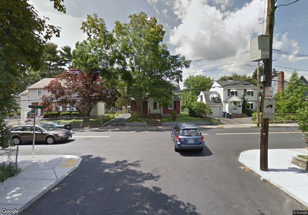
116 Parsons St Brighton, MA 02135
Brighton NeighborhoodEstimated Value: $773,000 - $923,000
3
Beds
2
Baths
1,346
Sq Ft
$623/Sq Ft
Est. Value
About This Home
This home is located at 116 Parsons St, Brighton, MA 02135 and is currently estimated at $837,891, approximately $622 per square foot. 116 Parsons St is a home located in Suffolk County with nearby schools including Boston Green Academy Horace Mann Charter School, St Columbkille Partnership School, and Shaloh House Jewish Day School.
Ownership History
Date
Name
Owned For
Owner Type
Purchase Details
Closed on
Sep 18, 2018
Sold by
Lam Albert C and Lam Sin H
Bought by
Sin Har Lam Irt
Current Estimated Value
Purchase Details
Closed on
Sep 6, 2018
Sold by
Lam Albert C and Lam Lisa S
Bought by
Lam Albert C and Lam Sin H
Purchase Details
Closed on
Oct 20, 1989
Sold by
Mckean Edna M Est
Bought by
Lam Albert C
Home Financials for this Owner
Home Financials are based on the most recent Mortgage that was taken out on this home.
Original Mortgage
$70,000
Interest Rate
10.06%
Mortgage Type
Purchase Money Mortgage
Create a Home Valuation Report for This Property
The Home Valuation Report is an in-depth analysis detailing your home's value as well as a comparison with similar homes in the area
Home Values in the Area
Average Home Value in this Area
Purchase History
| Date | Buyer | Sale Price | Title Company |
|---|---|---|---|
| Sin Har Lam Irt | -- | -- | |
| Lam Albert C | -- | -- | |
| Lam Albert C | $160,000 | -- |
Source: Public Records
Mortgage History
| Date | Status | Borrower | Loan Amount |
|---|---|---|---|
| Previous Owner | Lam Albert C | $150,000 | |
| Previous Owner | Lam Albert C | $72,000 | |
| Previous Owner | Lam Albert C | $70,000 | |
| Previous Owner | Lam Albert C | $16,600 |
Source: Public Records
Tax History
| Year | Tax Paid | Tax Assessment Tax Assessment Total Assessment is a certain percentage of the fair market value that is determined by local assessors to be the total taxable value of land and additions on the property. | Land | Improvement |
|---|---|---|---|---|
| 2025 | $8,927 | $770,900 | $279,800 | $491,100 |
| 2024 | $7,676 | $704,200 | $263,400 | $440,800 |
| 2023 | $7,343 | $683,700 | $255,700 | $428,000 |
| 2022 | $6,763 | $621,600 | $232,500 | $389,100 |
| 2021 | $6,081 | $569,900 | $219,300 | $350,600 |
| 2020 | $5,616 | $531,800 | $194,700 | $337,100 |
| 2019 | $5,360 | $508,500 | $169,400 | $339,100 |
| 2018 | $5,028 | $479,800 | $169,400 | $310,400 |
| 2017 | $4,838 | $456,800 | $169,400 | $287,400 |
| 2016 | $4,785 | $435,000 | $169,400 | $265,600 |
| 2015 | $5,063 | $418,100 | $178,800 | $239,300 |
| 2014 | $4,687 | $372,600 | $178,800 | $193,800 |
Source: Public Records
Map
Nearby Homes
- 41-43 Arlington St
- 14 Converse St
- 257 R Market St Unit A
- 65-67 Surrey St
- 15-17 Donnybrook Rd
- 83-85 Surrey St
- 115 Bennett St Unit 1
- 11 Faneuil St
- 30 Leicester St
- 354 Market St Unit 9
- 7 Cypress Rd Unit 703
- 14 Bothwell Rd
- 6 Cypress Rd Unit 606
- 59 Riverview Rd
- 214 Market St Unit 405
- 214 Market St Unit 208
- 214 Market St Unit 201
- 36-38 Mapleton St
- 200-202 Market St
- 35 Glencoe St Unit 43
- 120 Parsons St
- 110 Parsons St
- 110 Parsons St Unit 1
- 124 Parsons St
- 17 Madeline St
- 23 Madeline St
- 29 Madeline St
- 11 Madeline St Unit 2
- 11 Madeline St Unit 1
- 11 Madeline St
- 9 Madeline St Unit 11
- 9 Madeline St Unit 1
- 104 Parsons St
- 104 Parsons St Unit 2
- 126 Parsons St
- 126 Parsons St Unit 2
- 109 Parsons St
- 121 Parsons St
- 121 Parsons St Unit 2
- 33 Madeline St
Your Personal Tour Guide
Ask me questions while you tour the home.