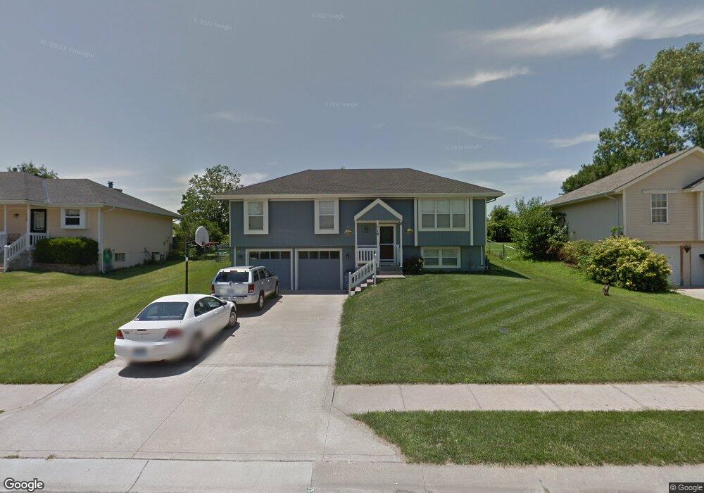
116 S Darrowby Dr Raymore, MO 64083
Estimated Value: $259,968 - $307,000
3
Beds
2
Baths
1,164
Sq Ft
$239/Sq Ft
Est. Value
About This Home
This home is located at 116 S Darrowby Dr, Raymore, MO 64083 and is currently estimated at $277,992, approximately $238 per square foot. 116 S Darrowby Dr is a home located in Cass County with nearby schools including Eagle Glen Intermediate School, Raymore-Peculiar East Middle School, and Raymore-Peculiar Senior High School.
Ownership History
Date
Name
Owned For
Owner Type
Purchase Details
Closed on
May 6, 2013
Sold by
Bass Donald E and Bass Dana Dale
Bought by
Bass Donald E and Bass Dana Dale
Current Estimated Value
Home Financials for this Owner
Home Financials are based on the most recent Mortgage that was taken out on this home.
Original Mortgage
$112,500
Outstanding Balance
$22,198
Interest Rate
2.82%
Mortgage Type
New Conventional
Estimated Equity
$255,794
Create a Home Valuation Report for This Property
The Home Valuation Report is an in-depth analysis detailing your home's value as well as a comparison with similar homes in the area
Home Values in the Area
Average Home Value in this Area
Purchase History
| Date | Buyer | Sale Price | Title Company |
|---|---|---|---|
| Bass Donald E | -- | Secured Title Of Kansas |
Source: Public Records
Mortgage History
| Date | Status | Borrower | Loan Amount |
|---|---|---|---|
| Open | Bass Donald E | $112,500 |
Source: Public Records
Tax History
| Year | Tax Paid | Tax Assessment Tax Assessment Total Assessment is a certain percentage of the fair market value that is determined by local assessors to be the total taxable value of land and additions on the property. | Land | Improvement |
|---|---|---|---|---|
| 2025 | $2,195 | $30,150 | $5,270 | $24,880 |
| 2024 | $2,195 | $26,970 | $4,790 | $22,180 |
| 2023 | $2,192 | $26,970 | $4,790 | $22,180 |
| 2022 | $1,919 | $23,460 | $4,790 | $18,670 |
| 2021 | $1,920 | $23,460 | $4,790 | $18,670 |
| 2020 | $1,889 | $22,680 | $4,790 | $17,890 |
| 2019 | $1,824 | $22,680 | $4,790 | $17,890 |
| 2018 | $1,683 | $20,210 | $4,020 | $16,190 |
| 2017 | $1,544 | $20,210 | $4,020 | $16,190 |
| 2016 | $1,544 | $19,240 | $4,020 | $15,220 |
| 2015 | $1,545 | $19,240 | $4,020 | $15,220 |
| 2014 | $1,545 | $19,240 | $4,020 | $15,220 |
| 2013 | -- | $19,240 | $4,020 | $15,220 |
Source: Public Records
Map
Nearby Homes
- 212 S Huntsman Blvd
- 0 Scott Dr
- 215 Scott Dr
- 1601 Stasi Ave
- 1608 Cody Dr
- 1412 W Stone Blvd
- 415 Woodview Dr
- 411 Eagle Glen Dr
- 110 S Westglen Dr
- 300 Dean Ave
- 1323 W Johns Blvd
- 1206 Johnston Dr
- 603 Old Paint Rd
- 1201 Belinder Dr
- 113 N Eastglen Dr
- 1105 Brookside Place
- 701 Hampstead Dr
- 1206 W Lucy Webb Rd
- 800 Bentley Dr
- 709 Bluestem Ct
- 114 S Darrowby Dr
- 118 S Darrowby Dr
- 112 S Darrowby Dr
- 120 S Darrowby Dr
- 117 S Darrowby Dr
- 115 S Darrowby Dr
- 110 S Darrowby Dr
- 119 S Darrowby Dr
- 122 S Darrowby Dr
- 113 S Darrowby Dr
- 121 S Darrowby Dr
- 108 S Darrowby Dr
- 124 S Darrowby Dr
- 109 S Darrowby Dr
- 108 S Huntsman Blvd
- 110 S Huntsman Blvd
- 106 S Huntsman Blvd
- 112 S Huntsman Blvd
- 100 N Darrowby Dr
- 126 S Darrowby Dr
Your Personal Tour Guide
Ask me questions while you tour the home.