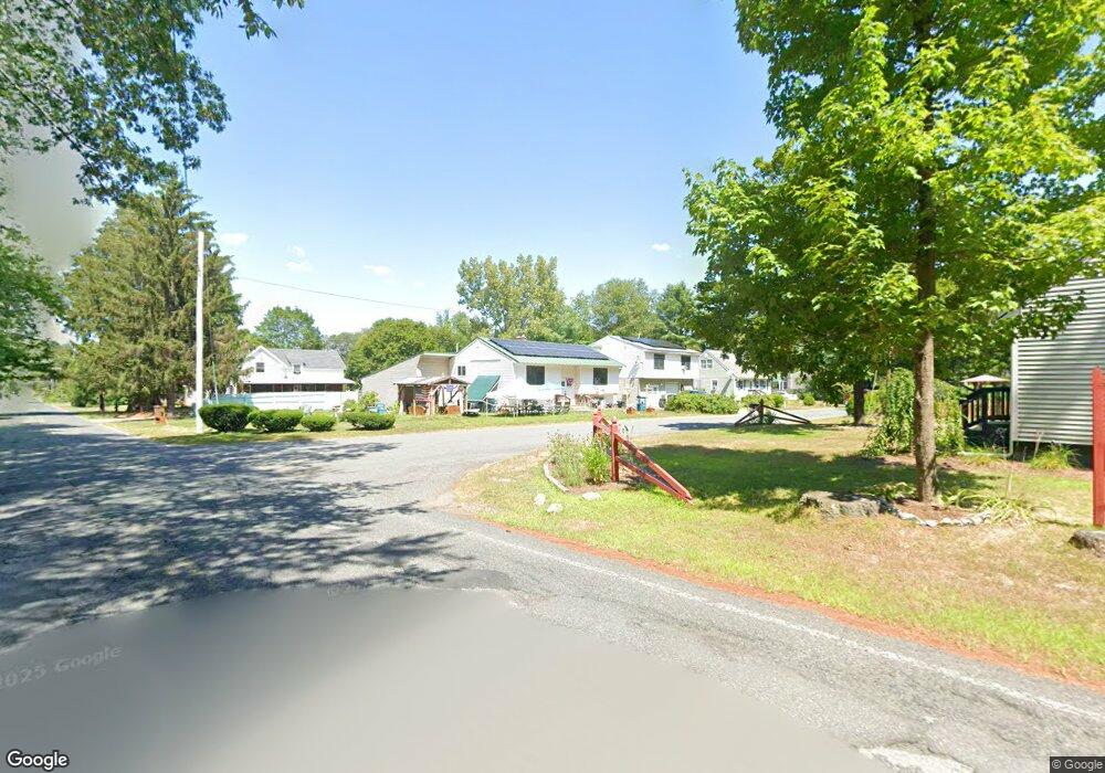
116 Sandrah Dr Orange, MA 01364
Estimated Value: $319,000 - $384,000
2
Beds
2
Baths
1,300
Sq Ft
$266/Sq Ft
Est. Value
About This Home
This home is located at 116 Sandrah Dr, Orange, MA 01364 and is currently estimated at $346,154, approximately $266 per square foot. 116 Sandrah Dr is a home located in Franklin County with nearby schools including Fisher Hill and Ralph C Mahar Regional School.
Ownership History
Date
Name
Owned For
Owner Type
Purchase Details
Closed on
May 26, 1983
Bought by
Barrett Brent M and Barrett Debbie L
Current Estimated Value
Create a Home Valuation Report for This Property
The Home Valuation Report is an in-depth analysis detailing your home's value as well as a comparison with similar homes in the area
Home Values in the Area
Average Home Value in this Area
Purchase History
| Date | Buyer | Sale Price | Title Company |
|---|---|---|---|
| Barrett Brent M | -- | -- |
Source: Public Records
Mortgage History
| Date | Status | Borrower | Loan Amount |
|---|---|---|---|
| Open | Barrett Brent M | $174,000 | |
| Closed | Barrett Brent M | $87,000 | |
| Closed | Barrett Brent M | $14,490 | |
| Closed | Barrett Brent M | $74,000 |
Source: Public Records
Tax History
| Year | Tax Paid | Tax Assessment Tax Assessment Total Assessment is a certain percentage of the fair market value that is determined by local assessors to be the total taxable value of land and additions on the property. | Land | Improvement |
|---|---|---|---|---|
| 2025 | $58 | $350,900 | $25,800 | $325,100 |
| 2024 | $6,210 | $356,100 | $25,800 | $330,300 |
| 2023 | $6,128 | $341,200 | $25,800 | $315,400 |
| 2022 | $6,853 | $358,400 | $28,300 | $330,100 |
| 2021 | $4,036 | $201,300 | $51,800 | $149,500 |
| 2020 | $4,180 | $199,200 | $51,400 | $147,800 |
| 2019 | $4,094 | $175,200 | $46,100 | $129,100 |
| 2018 | $4,014 | $169,700 | $45,400 | $124,300 |
| 2017 | $3,812 | $169,700 | $45,400 | $124,300 |
| 2016 | $3,620 | $166,800 | $45,400 | $121,400 |
| 2015 | $3,815 | $183,700 | $45,400 | $138,300 |
| 2014 | $3,719 | $188,400 | $45,400 | $143,000 |
Source: Public Records
Map
Nearby Homes
Your Personal Tour Guide
Ask me questions while you tour the home.