116 Smith Point Rd Alton Bay, NH 03810
Estimated Value: $806,000 - $1,481,000
3
Beds
2
Baths
999
Sq Ft
$1,108/Sq Ft
Est. Value
About This Home
This home is located at 116 Smith Point Rd, Alton Bay, NH 03810 and is currently estimated at $1,106,738, approximately $1,107 per square foot. 116 Smith Point Rd is a home located in Belknap County with nearby schools including Alton Central School (Elem) and Prospect Mountain High School.
Ownership History
Date
Name
Owned For
Owner Type
Purchase Details
Closed on
Oct 30, 2003
Sold by
Schofiel Norma E and Schofield Barry E
Bought by
Franks Edward W and Franks Susan C S
Current Estimated Value
Home Financials for this Owner
Home Financials are based on the most recent Mortgage that was taken out on this home.
Original Mortgage
$436,800
Interest Rate
6.05%
Mortgage Type
Purchase Money Mortgage
Create a Home Valuation Report for This Property
The Home Valuation Report is an in-depth analysis detailing your home's value as well as a comparison with similar homes in the area
Home Values in the Area
Average Home Value in this Area
Purchase History
| Date | Buyer | Sale Price | Title Company |
|---|---|---|---|
| Franks Edward W | $649,900 | -- |
Source: Public Records
Mortgage History
| Date | Status | Borrower | Loan Amount |
|---|---|---|---|
| Open | Franks Edward W | $384,475 | |
| Closed | Franks Edward W | $436,800 |
Source: Public Records
Tax History Compared to Growth
Tax History
| Year | Tax Paid | Tax Assessment Tax Assessment Total Assessment is a certain percentage of the fair market value that is determined by local assessors to be the total taxable value of land and additions on the property. | Land | Improvement |
|---|---|---|---|---|
| 2024 | $10,494 | $808,500 | $761,300 | $47,200 |
| 2022 | $8,701 | $765,300 | $723,000 | $42,300 |
| 2021 | $9,145 | $803,600 | $761,300 | $42,300 |
| 2020 | $8,825 | $632,600 | $592,000 | $40,600 |
| 2019 | $7,914 | $632,600 | $592,000 | $40,600 |
| 2018 | $8,761 | $626,200 | $592,000 | $34,200 |
| 2017 | $8,053 | $626,200 | $592,000 | $34,200 |
| 2016 | $9,909 | $700,300 | $672,700 | $27,600 |
| 2015 | $9,050 | $634,200 | $606,600 | $27,600 |
| 2014 | $8,425 | $608,300 | $577,600 | $30,700 |
| 2013 | $8,595 | $639,500 | $601,900 | $37,600 |
Source: Public Records
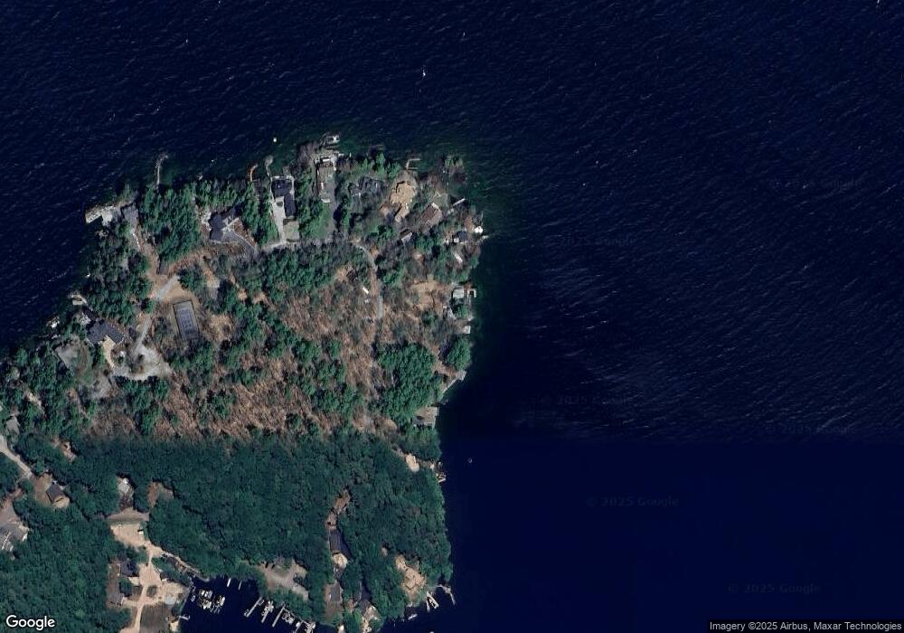
Map
Nearby Homes
- 58 Rollins Rd
- Lot 36 Mauhaut Shores Rd
- 230 Rattlesnake Island
- 1425 Mount Major Hwy
- 1756 Mount Major Hwy
- 34 Hermit Rd
- 36-3 Checkerberry Ln
- 72 Timber Ridge Rd
- 2761 Lake Shore Rd Unit 45
- 38 Spy Gold Ln
- 1256 Cherry Valley Rd
- 2696 Lake Shore Rd Unit 108
- 6 Cumberland Rd Unit 22
- 46 Spy Gold Ln
- 22 Ginger Gold Way
- 35 Cumberland Rd
- 90 Briarcliff Rd
- 11 Fieldstone Way
- 47 Homestead Dr
- 235 Cumberland Rd
- 118 Smith Point Rd
- 110 Smith Point Rd
- 120 Smith Point Rd
- 140 Smith Point Rd
- 122 Smith Point Rd
- 102 Smith Point Rd
- 124 Smith Point Rd
- 124 Smith Point Rd
- 128 Smith Point Rd
- 100 Smith Point Rd
- 130 Smith Point Rd
- 92 Smith Point Rd
- 134 Smith Point Rd
- 138 Smith Point Rd
- 90 Smith Point Rd
- 86 Smith Point Rd
- 86 Smith Point Rd
- 88 Smith Point Rd
- 152 Smith Point Rd
- 0 Smith Point Rd Unit 4936819