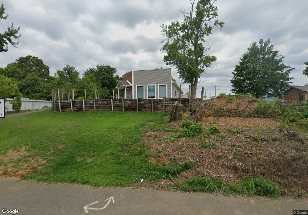
116 Sylvis St Dickson, TN 37055
Studio
1
Bath
1,747
Sq Ft
0.3
Acres
About This Home
This home is located at 116 Sylvis St, Dickson, TN 37055. 116 Sylvis St is a home located in Dickson County with nearby schools including Centennial Elementary School, Dickson Middle School, and Dickson County High School.
Ownership History
Date
Name
Owned For
Owner Type
Purchase Details
Closed on
Oct 3, 2018
Sold by
Developmental Svcs Of Dickson County
Bought by
White Demond
Purchase Details
Closed on
Oct 17, 2013
Sold by
Pitts Christopher Robert
Bought by
Developmental Svcs Of Dickson
Purchase Details
Closed on
Jun 8, 1992
Purchase Details
Closed on
Jan 27, 1989
Bought by
Pitts Robert C and Pitts Christopher R
Purchase Details
Closed on
Mar 6, 1987
Bought by
Haddock Rhonda
Purchase Details
Closed on
Jul 31, 1986
Bought by
Haddock Tony and Haddock Rhonda
Create a Home Valuation Report for This Property
The Home Valuation Report is an in-depth analysis detailing your home's value as well as a comparison with similar homes in the area
Home Values in the Area
Average Home Value in this Area
Purchase History
| Date | Buyer | Sale Price | Title Company |
|---|---|---|---|
| White Demond | $142,500 | -- | |
| Developmental Svcs Of Dickson | $110,000 | -- | |
| -- | -- | -- | |
| Pitts Robert C | -- | -- | |
| Haddock Rhonda | -- | -- | |
| Haddock Tony | -- | -- |
Source: Public Records
Tax History
| Year | Tax Paid | Tax Assessment Tax Assessment Total Assessment is a certain percentage of the fair market value that is determined by local assessors to be the total taxable value of land and additions on the property. | Land | Improvement |
|---|---|---|---|---|
| 2025 | -- | $99,400 | $64,720 | $34,680 |
| 2024 | -- | $99,400 | $64,720 | $34,680 |
| 2023 | $2,398 | $76,760 | $51,080 | $25,680 |
| 2022 | $2,398 | $76,760 | $51,080 | $25,680 |
| 2021 | $2,398 | $76,760 | $51,080 | $25,680 |
| 2020 | $2,398 | $76,760 | $51,080 | $25,680 |
| 2019 | $2,398 | $76,760 | $51,080 | $25,680 |
| 2018 | $0 | $0 | $0 | $0 |
| 2017 | $0 | $0 | $0 | $0 |
| 2016 | $1,262 | $34,590 | $11,520 | $23,070 |
| 2015 | $1,342 | $34,590 | $11,520 | $23,070 |
| 2014 | $1,342 | $34,590 | $11,520 | $23,070 |
Source: Public Records
Map
Nearby Homes
- 0 Tucker Rd Unit RTC3051077
- 202 W College St Unit 4
- 500 Church St
- 0 Henslee Dr Spring St Unit RTC3128657
- 110 Mccreary Heights
- 213 Mccreary Heights
- 414 W College St
- 129 Ironhorse Way
- 402 S Mulberry St
- 0 Highway 46 Unit RTC2944647
- 406 High St
- 501 High St Unit A
- 430 Center Ave
- 422 High St
- 701 W 5th St
- 101 Sunset Rd
- 161 Caraway Ct
- 103 Batey Cir
- 501 Caraway Ct
- 101 Hill Rd
Your Personal Tour Guide
Ask me questions while you tour the home.