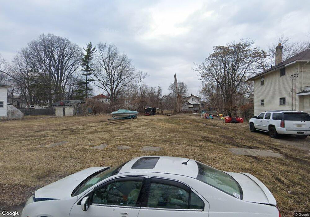
116 W Linsey Blvd Flint, MI 48503
Southside Business District NeighborhoodEstimated Value: $54,000 - $69,000
2
Beds
1
Bath
906
Sq Ft
$68/Sq Ft
Est. Value
About This Home
This home is located at 116 W Linsey Blvd, Flint, MI 48503 and is currently estimated at $61,500, approximately $67 per square foot. 116 W Linsey Blvd is a home located in Genesee County with nearby schools including Freeman Elementary School, Flint Southwestern Classical Academy, and International Academy of Flint (K-12).
Ownership History
Date
Name
Owned For
Owner Type
Purchase Details
Closed on
Dec 21, 2021
Sold by
Genesee County Treasurer
Bought by
Genesee County Land Bank Authority
Current Estimated Value
Purchase Details
Closed on
Dec 20, 2012
Sold by
Cherry Deborah L
Bought by
Genesee County Land Bank
Purchase Details
Closed on
Dec 21, 2011
Sold by
Romain Kevin
Bought by
Smith Misth
Purchase Details
Closed on
Apr 5, 2011
Sold by
Taber Lisa
Bought by
Romain Kevin
Purchase Details
Closed on
May 16, 2006
Sold by
Bradshaw Garry Roy and Bradshaw Sharon K
Bought by
Taber Lisa
Create a Home Valuation Report for This Property
The Home Valuation Report is an in-depth analysis detailing your home's value as well as a comparison with similar homes in the area
Home Values in the Area
Average Home Value in this Area
Purchase History
| Date | Buyer | Sale Price | Title Company |
|---|---|---|---|
| Genesee County Land Bank Authority | -- | None Listed On Document | |
| Genesee County Land Bank | -- | None Available | |
| Smith Misth | -- | None Available | |
| Romain Kevin | $1,000 | None Available | |
| Taber Lisa | $4,000 | First American Title Ins Co |
Source: Public Records
Tax History Compared to Growth
Tax History
| Year | Tax Paid | Tax Assessment Tax Assessment Total Assessment is a certain percentage of the fair market value that is determined by local assessors to be the total taxable value of land and additions on the property. | Land | Improvement |
|---|---|---|---|---|
| 2025 | -- | $0 | $0 | $0 |
| 2024 | -- | $0 | $0 | $0 |
| 2023 | -- | $0 | $0 | $0 |
| 2022 | $0 | $0 | $0 | $0 |
| 2021 | $116 | $1,500 | $0 | $0 |
| 2020 | $110 | $1,500 | $0 | $0 |
| 2019 | $119 | $1,200 | $0 | $0 |
| 2018 | $81 | $1,200 | $0 | $0 |
| 2017 | $10 | $0 | $0 | $0 |
| 2016 | $0 | $0 | $0 | $0 |
| 2015 | -- | $0 | $0 | $0 |
| 2014 | -- | $0 | $0 | $0 |
| 2012 | -- | $2,500 | $0 | $0 |
Source: Public Records
Map
Nearby Homes
- 133 E Oakley St
- 618 Barrie Ave
- 213 E Lakeview Ave
- 115 E Livingston Dr
- 639 Monroe St
- 657 Barrie Ave
- 647 Monroe St
- 3214 S Grand Traverse St
- 615 Freeman Ave
- 619 Freeman Ave
- 734 Barrie Ave
- 517 Morley Ave
- 741 Barrie Ave
- 812 Remington Ave
- 730 Freeman Ave
- 2121 Dwight Ave
- 2224 Crocker Ave
- 2050 Ferris Ave
- 842 Ossington Ave
- 420 Pingree Ave
- 114 W Linsey Blvd
- 112 W Linsey Blvd
- 126 W Linsey Blvd
- 202 W Linsey Blvd
- 108 W Linsey Blvd
- 121 W Tobias St
- 125 W Tobias St
- 117 W Tobias St
- 130 W Linsey Blvd
- 129 W Tobias St
- 2626 S Saginaw St
- 115 W Tobias St
- 2612 S Saginaw St
- 133 W Tobias St
- 119 W Linsey Blvd
- 206 W Linsey Blvd
- 123 W Linsey Blvd
- 201 W Tobias St
- 2706 S Saginaw St
- 2604 S Saginaw St