1160 78th St NE Benson, MN 56215
Estimated Value: $73,385 - $177,000
--
Bed
--
Bath
560
Sq Ft
$221/Sq Ft
Est. Value
About This Home
This home is located at 1160 78th St NE, Benson, MN 56215 and is currently estimated at $123,846, approximately $221 per square foot. 1160 78th St NE is a home with nearby schools including Northside Elementary School and Benson Secondary School.
Ownership History
Date
Name
Owned For
Owner Type
Purchase Details
Closed on
Jun 1, 2022
Sold by
Kolstad Lance
Bought by
Smith Dylan and Smith Abbie
Current Estimated Value
Home Financials for this Owner
Home Financials are based on the most recent Mortgage that was taken out on this home.
Original Mortgage
$28,000
Outstanding Balance
$26,605
Interest Rate
5.11%
Mortgage Type
New Conventional
Estimated Equity
$97,241
Create a Home Valuation Report for This Property
The Home Valuation Report is an in-depth analysis detailing your home's value as well as a comparison with similar homes in the area
Home Values in the Area
Average Home Value in this Area
Purchase History
| Date | Buyer | Sale Price | Title Company |
|---|---|---|---|
| Smith Dylan | $35,000 | -- |
Source: Public Records
Mortgage History
| Date | Status | Borrower | Loan Amount |
|---|---|---|---|
| Open | Smith Dylan | $28,000 |
Source: Public Records
Tax History Compared to Growth
Tax History
| Year | Tax Paid | Tax Assessment Tax Assessment Total Assessment is a certain percentage of the fair market value that is determined by local assessors to be the total taxable value of land and additions on the property. | Land | Improvement |
|---|---|---|---|---|
| 2025 | $426 | $41,800 | $24,300 | $17,500 |
| 2024 | $426 | $41,800 | $24,300 | $17,500 |
| 2023 | $432 | $41,600 | $24,300 | $17,300 |
| 2022 | $324 | $37,600 | $24,300 | $13,300 |
| 2021 | $312 | $35,700 | $24,300 | $11,400 |
| 2020 | $316 | $35,700 | $24,300 | $11,400 |
| 2019 | $298 | $35,700 | $24,300 | $11,400 |
| 2017 | $262 | $0 | $0 | $0 |
| 2016 | $244 | $0 | $0 | $0 |
| 2015 | $240 | $0 | $0 | $0 |
| 2014 | -- | $0 | $0 | $0 |
Source: Public Records
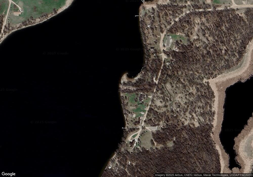
Map
Nearby Homes
- 25757 133rd St NW
- 000 45th St NE
- TBD T-21
- 27827 State Highway 104
- 555 10th St SE
- 13300 330th St
- 261 15th Ln NE
- 1105 13th St N
- 1039 Montana Ave
- 503 18th St N
- 307 15th St N
- 00 16th St N
- 313 11th St S
- - County Road 18
- 302 13th St S
- 320 13th St S
- 1510 Wisconsin Ave
- 907 10th St S
- 202 17th St S
- 802 Church St
- 1152 78th St NE
- 1150 78th St NE
- 1148 78th St NE
- 1168 78th St NE
- 784 119th Ave NE
- 784 119th Ave NE
- 1163 78th St NE
- 1180 78th St NE
- 1192 78th St NE
- xxx Xxx
- 790 119th Ave NE
- 794 119th Ave NE
- 787 110th Ave NE
- 788 110th Ave NE
- 795 119th Ave NE
- 710 120th Ave NE
- 700 120th Ave NE
- 760 110th Ave NE
- 1140 65th St NE