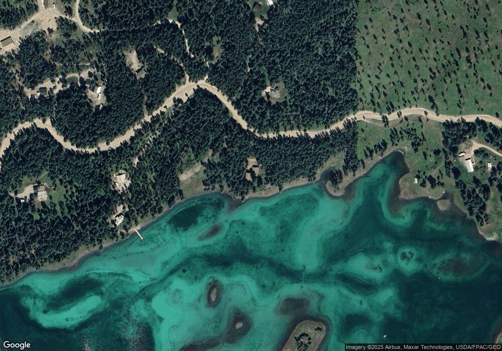
1160 La Brant Rd Bigfork, MT 59911
Estimated Value: $1,087,000 - $1,704,000
4
Beds
4
Baths
2,433
Sq Ft
$550/Sq Ft
Est. Value
About This Home
This home is located at 1160 La Brant Rd, Bigfork, MT 59911 and is currently estimated at $1,338,744, approximately $550 per square foot. 1160 La Brant Rd is a home located in Flathead County with nearby schools including Bigfork Elementary School, Bigfork Middle School, and Bigfork High School.
Ownership History
Date
Name
Owned For
Owner Type
Purchase Details
Closed on
Aug 12, 2019
Sold by
Holycross Thomas W and Holbrook Elizabeth R
Bought by
Riesberg Michael V
Current Estimated Value
Home Financials for this Owner
Home Financials are based on the most recent Mortgage that was taken out on this home.
Original Mortgage
$484,350
Outstanding Balance
$424,201
Interest Rate
3.7%
Mortgage Type
New Conventional
Estimated Equity
$914,543
Create a Home Valuation Report for This Property
The Home Valuation Report is an in-depth analysis detailing your home's value as well as a comparison with similar homes in the area
Purchase History
| Date | Buyer | Sale Price | Title Company |
|---|---|---|---|
| Riesberg Michael V | -- | Fidelity Natl Ttl Co Of Flat |
Source: Public Records
Mortgage History
| Date | Status | Borrower | Loan Amount |
|---|---|---|---|
| Open | Riesberg Michael V | $484,350 |
Source: Public Records
Tax History
| Year | Tax Paid | Tax Assessment Tax Assessment Total Assessment is a certain percentage of the fair market value that is determined by local assessors to be the total taxable value of land and additions on the property. | Land | Improvement |
|---|---|---|---|---|
| 2025 | $4,682 | $1,313,700 | $0 | $0 |
| 2024 | $4,934 | $1,025,900 | $0 | $0 |
| 2023 | $4,983 | $1,025,900 | $0 | $0 |
| 2022 | $5,067 | $786,100 | $0 | $0 |
| 2021 | $5,376 | $786,100 | $0 | $0 |
| 2020 | $5,728 | $781,602 | $0 | $0 |
| 2019 | $3,585 | $500,510 | $0 | $0 |
| 2018 | $3,268 | $430,799 | $0 | $0 |
| 2017 | $3,234 | $430,799 | $0 | $0 |
| 2016 | $2,884 | $384,537 | $0 | $0 |
| 2015 | $2,658 | $384,537 | $0 | $0 |
| 2014 | $4,674 | $420,184 | $0 | $0 |
Source: Public Records
Map
Nearby Homes
- 1029 Lake of the Woods Ln
- 1874 Echo Cabin Loop
- 221 Belterra Ln
- 3820 Foothill Rd
- 1844 Echo Cabin Loop
- 129 Foothill Trail
- 3740 Foothill Rd
- 685 Lindsey Ct
- 828 Abbot Village Dr
- 4111 Foothill Rd
- 701 McCaffery Rd
- 369 La Brant Rd
- 3039 and 3005 Foothill Rd
- 260 Black Bear Ln
- 642 Echo View Dr
- 306 Parker Lakes Rd
- 541 Alpine Dr
- 2785 Foothill Rd
- 57 Shale Ct
- 33 Shale Ct
- 1155 La Brant Rd
- 1231 La Brant Rd
- 1237 La Brant Rd
- 1243 La Brant Rd
- 1023 Lake of the Woods Ln
- 1135 La Brant Rd
- 1135 La Brant Rd
- 1125 Whispering Pines
- 1125 La Brant Rd
- 1055 La Brant Rd
- 1050 La Brant Rd
- 1055 Lake of the Woods Ln
- 1045 Lake of the Woods Ln
- 990 Five Deer Ln
- 997 Lake of the Woods Ln
- 985 Lake of the Woods Ln
- 1000 Lake of the Woods Ln
- 1035 Lake of the Woods Ln
- 1044 Lake of the Woods Ln
- 1025 La Brant Rd
Your Personal Tour Guide
Ask me questions while you tour the home.
