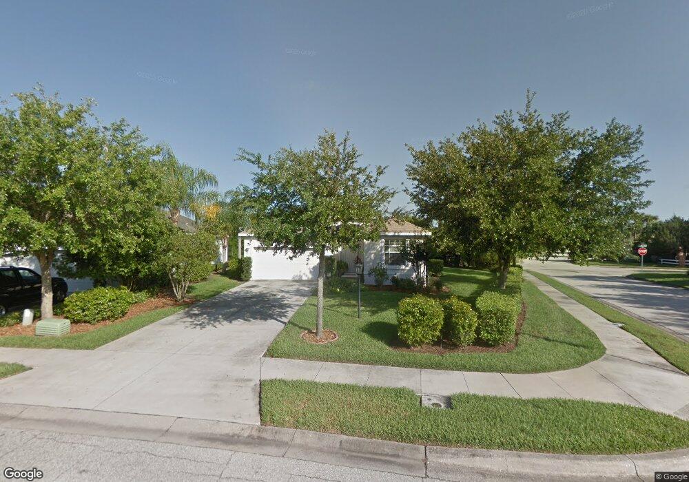
1160 Millbrook Cir Bradenton, FL 34212
Estimated Value: $383,000 - $419,000
3
Beds
2
Baths
1,721
Sq Ft
$234/Sq Ft
Est. Value
About This Home
This home is located at 1160 Millbrook Cir, Bradenton, FL 34212 and is currently estimated at $402,879, approximately $234 per square foot. 1160 Millbrook Cir is a home located in Manatee County with nearby schools including Freedom Elementary School, Carlos E. Haile Middle School, and Parrish Community High School.
Ownership History
Date
Name
Owned For
Owner Type
Purchase Details
Closed on
Jan 30, 2003
Sold by
B W Gen Cont Inc
Bought by
Salazar Luis E
Current Estimated Value
Home Financials for this Owner
Home Financials are based on the most recent Mortgage that was taken out on this home.
Original Mortgage
$170,000
Outstanding Balance
$72,966
Interest Rate
5.98%
Estimated Equity
$329,913
Create a Home Valuation Report for This Property
The Home Valuation Report is an in-depth analysis detailing your home's value as well as a comparison with similar homes in the area
Purchase History
| Date | Buyer | Sale Price | Title Company |
|---|---|---|---|
| Salazar Luis E | $44,900 | -- |
Source: Public Records
Mortgage History
| Date | Status | Borrower | Loan Amount |
|---|---|---|---|
| Open | Salazar Luis E | $170,000 |
Source: Public Records
Tax History
| Year | Tax Paid | Tax Assessment Tax Assessment Total Assessment is a certain percentage of the fair market value that is determined by local assessors to be the total taxable value of land and additions on the property. | Land | Improvement |
|---|---|---|---|---|
| 2025 | $1,861 | $164,203 | -- | -- |
| 2023 | $1,861 | $154,927 | $0 | $0 |
| 2022 | $1,805 | $150,415 | $0 | $0 |
| 2021 | $895 | $146,034 | $0 | $0 |
| 2020 | $1,784 | $144,018 | $0 | $0 |
| 2019 | $1,754 | $140,780 | $0 | $0 |
| 2018 | $1,737 | $138,155 | $0 | $0 |
| 2017 | $830 | $135,313 | $0 | $0 |
| 2016 | $812 | $132,530 | $0 | $0 |
Source: Public Records
Map
Nearby Homes
- 774 Planters Manor Way
- 1135 Millbrook Cir
- 730 Old Quarry Rd
- 1494 Millbrook Cir
- 834 Springwood Cir
- 10651 Old Grove Cir
- 535 Planters Manor Way
- 920 Springwood Cir
- 9605 Bladesmith Ln
- 531 Hunter Ln
- 574 Planters Manor Way
- 8746 Stone Harbour Loop
- 8725 Stone Harbour Loop
- 8844 Stone Harbour Loop
- 10433 Old Grove Cir
- 1003 Fairwaycove Ln Unit 105
- 923 Fairwaycove Ln Unit 103
- 915 Fairwaycove Ln Unit 204
- 8997 Stone Harbour Loop
- 811 Fairwaycove Ln Unit 107
- 1156 Millbrook Cir
- 1204 Millbrook Cir
- 1152 Millbrook Cir
- 1150 Millbrook Cir
- 1208 Millbrook Cir
- 1104 Cane Mill Ln
- 1163 Millbrook Cir
- 783 Planters Manor Way
- 1108 Cane Mill Ln
- 1146 Millbrook Cir
- 1212 Millbrook Cir
- 1112 Cane Mill Ln
- 1159 Millbrook Cir Unit 2 BED SHARED
- 1159 Millbrook Cir
- 1159 Millbrook Cir Unit 1159 MILLBROOK BEDR
- 1159 Millbrook Cir Unit ROOM IN SHARED HOME
- 1159 Millbrook Cir
- 1142 Millbrook Cir
- 1216 Millbrook Cir
- 1116 Cane Mill Ln
Your Personal Tour Guide
Ask me questions while you tour the home.