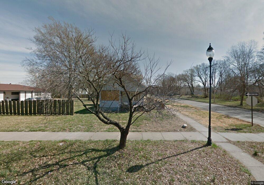
1160 SW Lane St Topeka, KS 66604
Tennessee Town NeighborhoodEstimated Value: $102,000 - $112,000
3
Beds
2
Baths
1,474
Sq Ft
$71/Sq Ft
Est. Value
About This Home
This home is located at 1160 SW Lane St, Topeka, KS 66604 and is currently estimated at $104,529, approximately $70 per square foot. 1160 SW Lane St is a home located in Shawnee County with nearby schools including Lowman Hill Elementary School, Robinson Middle School, and Topeka High School.
Ownership History
Date
Name
Owned For
Owner Type
Purchase Details
Closed on
Feb 22, 2017
Sold by
Castillo Martin Aguilar and Castillo Nancy Esmeralda
Bought by
Castillo Martin Aguilar and Castillo Nancy Esmeralda
Current Estimated Value
Purchase Details
Closed on
Nov 4, 2013
Sold by
Agler Donald G and Agler Elisa
Bought by
Castillo Martin Aguilar
Purchase Details
Closed on
Oct 23, 2013
Sold by
Hammons Willhemina L H and Hammons Alfred H
Bought by
Agler Donald G
Purchase Details
Closed on
Apr 22, 2008
Sold by
Hammons Alfred H and Hammons Willhemina L
Bought by
Hammons Alfred H
Create a Home Valuation Report for This Property
The Home Valuation Report is an in-depth analysis detailing your home's value as well as a comparison with similar homes in the area
Home Values in the Area
Average Home Value in this Area
Purchase History
| Date | Buyer | Sale Price | Title Company |
|---|---|---|---|
| Castillo Martin Aguilar | -- | None Available | |
| Castillo Martin Aguilar | -- | None Available | |
| Agler Donald G | -- | None Available | |
| Hammons Alfred H | -- | None Available |
Source: Public Records
Tax History Compared to Growth
Tax History
| Year | Tax Paid | Tax Assessment Tax Assessment Total Assessment is a certain percentage of the fair market value that is determined by local assessors to be the total taxable value of land and additions on the property. | Land | Improvement |
|---|---|---|---|---|
| 2025 | $1,242 | $9,970 | -- | -- |
| 2023 | $1,242 | $8,958 | $0 | $0 |
| 2022 | $472 | $3,504 | $0 | $0 |
| 2021 | $464 | $3,185 | $0 | $0 |
| 2020 | $356 | $2,537 | $0 | $0 |
| 2019 | $350 | $2,487 | $0 | $0 |
| 2018 | $339 | $2,415 | $0 | $0 |
| 2017 | $340 | $2,415 | $0 | $0 |
| 2014 | $321 | $2,272 | $0 | $0 |
Source: Public Records
Map
Nearby Homes
- 1224 SW Garfield Ave
- 1031 SW Clay St
- 1020 SW 11th St
- 1216 SW College Ave
- 1225 SW Throop St
- 1281 SW Buchanan St
- 1156 SW Woodward Ave
- 1301 SW Fillmore St Unit Main Floor Apt. 12
- 731 SW Lincoln St
- 1200 SW Taylor St
- 1300 SW Fillmore St
- 2012 SW 10th Ave
- 1327 SW College Ave
- 711 SW Buchanan St
- 1021 SW Polk St
- 0 SW Buchanan St
- 710 SW 13th St
- 634 SW Lincoln St
- 1531 SW 15th St
- 1164 SW MacVicar Ave
- 1162 SW Lane St
- 1164 SW Lane St
- 1132 SW Lane St Unit 1124 SW Lane St
- 1132 SW Lane St
- 1168 SW Lane St
- 1308 SW Munson Ave
- 1163 SW Lincoln St
- 1159 SW Lincoln St
- 1149 SW Lincoln St
- 1161 SW Lane St
- 1157 SW Lane St
- 1169 SW Lincoln St
- 1167 SW Lincoln St
- 1174 SW Lane St
- 1163 SW Lane St
- 1124 SW Lane St Unit 1132 SW Lane ST
- 1153 SW Lane St
- 1153 SW Lane St
- 1173 SW Lincoln St
- 1129 SW Lincoln St
