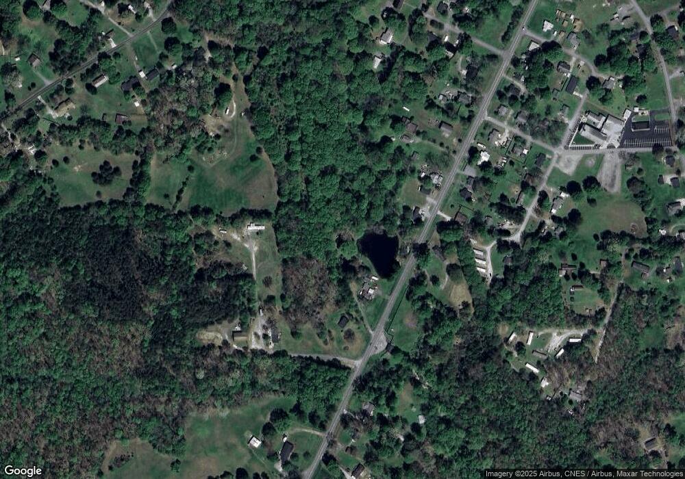
1160 W Highway 150 Lincolnton, NC 28092
Estimated Value: $172,000 - $231,000
3
Beds
1
Bath
1,521
Sq Ft
$126/Sq Ft
Est. Value
About This Home
This home is located at 1160 W Highway 150, Lincolnton, NC 28092 and is currently estimated at $192,049, approximately $126 per square foot. 1160 W Highway 150 is a home located in Lincoln County with nearby schools including Love Memorial Elementary School, West Lincoln Middle, and West Lincoln High School.
Ownership History
Date
Name
Owned For
Owner Type
Purchase Details
Closed on
Jul 24, 2025
Sold by
Kirby Ronnie Dale
Bought by
Kirby Ronnie Dale and Kirby Robbie Dale
Current Estimated Value
Purchase Details
Closed on
May 11, 2010
Sold by
Kirby Ronnie D and Kirby Norma Jean
Bought by
Kirby Ronnie D
Purchase Details
Closed on
Aug 19, 1994
Bought by
Kirby Ronnie D and Norma Jean Kirby
Create a Home Valuation Report for This Property
The Home Valuation Report is an in-depth analysis detailing your home's value as well as a comparison with similar homes in the area
Home Values in the Area
Average Home Value in this Area
Purchase History
| Date | Buyer | Sale Price | Title Company |
|---|---|---|---|
| Kirby Ronnie Dale | -- | None Listed On Document | |
| Kirby Ronnie Dale | -- | None Listed On Document | |
| Kirby Ronnie D | -- | None Available | |
| Kirby Ronnie D | $60,000 | -- |
Source: Public Records
Tax History Compared to Growth
Tax History
| Year | Tax Paid | Tax Assessment Tax Assessment Total Assessment is a certain percentage of the fair market value that is determined by local assessors to be the total taxable value of land and additions on the property. | Land | Improvement |
|---|---|---|---|---|
| 2025 | $729 | $95,894 | $29,382 | $66,512 |
| 2024 | $709 | $95,894 | $29,382 | $66,512 |
| 2023 | $676 | $95,894 | $29,382 | $66,512 |
| 2022 | $502 | $54,921 | $23,905 | $31,016 |
| 2021 | $502 | $54,921 | $23,905 | $31,016 |
| 2020 | $376 | $54,921 | $23,905 | $31,016 |
| 2019 | $376 | $54,921 | $23,905 | $31,016 |
| 2018 | $502 | $56,486 | $22,485 | $34,001 |
| 2017 | $381 | $56,486 | $22,485 | $34,001 |
| 2016 | $381 | $56,486 | $22,485 | $34,001 |
| 2015 | $468 | $56,486 | $22,485 | $34,001 |
| 2014 | $719 | $96,551 | $24,882 | $71,669 |
Source: Public Records
Map
Nearby Homes
- 776 S Grove St Unit EXT
- 1070 N Carolina 182
- 0 N Carolina 182 Unit CAR4246688
- 1547 Roseland Dr
- 1690 Roseland Dr
- 00 Glenn St
- 1156 Lyn Well Rd
- 792 Carolina Mill Cir
- 0 Drive Inn Rd
- 515 Willow St
- 2130 Drive Inn Rd
- 668 Riverside Dr
- 697 S Grove St
- 689 S Grove St
- 681 S Grove St
- 792 Mace Ln
- 818 Grier St
- 1218 W Highview Ln
- 1338 Pell Dr
- 1431 Boy Scout Rd
- 1176 W Highway 150
- 1134 W Highway 150
- 1192 W Highway 150
- 1122 W Highway 150
- 1122 W Highway 150
- 1167 W Highway 150
- 1114 W Highway 150
- 1127 W Highway 150
- 1108 W Highway 150
- 1117 W Highway 150
- 576 Calvary Church Rd
- 578 Calvary Church Rd
- 1111 W Highway 150
- 564 Calvary Church Rd
- 00 W Highway 150
- 557 Calvary Church Rd
- 1097 W Highway 150
- 1227 W Highway 150
- 458 Fulbright Way
- 500 Calvary Church Rd
