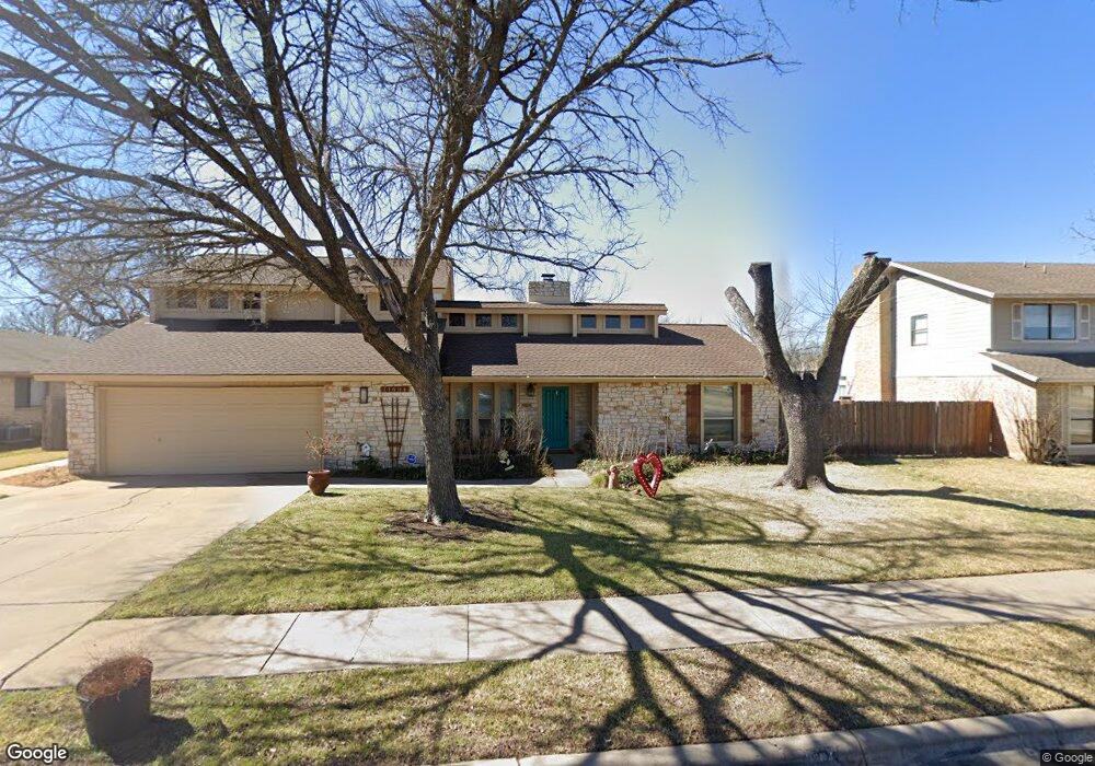
11604 Flinnwood Cir Austin, TX 78750
Anderson Mill NeighborhoodEstimated Value: $536,000 - $599,000
4
Beds
3
Baths
2,317
Sq Ft
$246/Sq Ft
Est. Value
About This Home
This home is located at 11604 Flinnwood Cir, Austin, TX 78750 and is currently estimated at $570,588, approximately $246 per square foot. 11604 Flinnwood Cir is a home located in Williamson County with nearby schools including Anderson Mill Elementary School, Noel Grisham Middle, and Westwood High School.
Ownership History
Date
Name
Owned For
Owner Type
Purchase Details
Closed on
Sep 28, 2005
Sold by
Debee Jeanette O
Bought by
Keillor Amy E
Current Estimated Value
Home Financials for this Owner
Home Financials are based on the most recent Mortgage that was taken out on this home.
Original Mortgage
$117,600
Outstanding Balance
$60,386
Interest Rate
5.12%
Mortgage Type
Adjustable Rate Mortgage/ARM
Estimated Equity
$510,202
Create a Home Valuation Report for This Property
The Home Valuation Report is an in-depth analysis detailing your home's value as well as a comparison with similar homes in the area
Home Values in the Area
Average Home Value in this Area
Purchase History
| Date | Buyer | Sale Price | Title Company |
|---|---|---|---|
| Keillor Amy E | -- | Independence Title |
Source: Public Records
Mortgage History
| Date | Status | Borrower | Loan Amount |
|---|---|---|---|
| Open | Keillor Amy E | $117,600 |
Source: Public Records
Tax History Compared to Growth
Tax History
| Year | Tax Paid | Tax Assessment Tax Assessment Total Assessment is a certain percentage of the fair market value that is determined by local assessors to be the total taxable value of land and additions on the property. | Land | Improvement |
|---|---|---|---|---|
| 2025 | $8,063 | $522,948 | $88,500 | $434,448 |
| 2024 | $8,063 | $478,643 | -- | -- |
| 2023 | $7,124 | $435,130 | $0 | $0 |
| 2022 | $8,493 | $395,573 | $0 | $0 |
| 2021 | $8,834 | $359,612 | $72,000 | $318,375 |
| 2020 | $7,778 | $326,920 | $66,598 | $260,322 |
| 2019 | $7,371 | $301,352 | $60,700 | $240,652 |
| 2018 | $6,185 | $274,070 | $54,891 | $219,179 |
| 2017 | $6,466 | $259,068 | $51,300 | $236,785 |
| 2016 | $5,879 | $235,516 | $51,300 | $200,200 |
| 2015 | $4,705 | $214,105 | $42,100 | $185,370 |
| 2014 | $4,705 | $194,641 | $0 | $0 |
Source: Public Records
Map
Nearby Homes
- 10606 Mourning Dove Dr
- 10404 Mourning Dove Dr
- 11902 Millwright Pkwy
- 10401 Mourning Dove Dr
- 10255 Missel Thrush Dr
- 11402 Pickfair Dr
- 11905 Millwright Pkwy
- 11512 Tin Cup Dr Unit 309
- 11512 Tin Cup Dr Unit 205
- 11533 Sandy Loam Trail
- 11310 Spicewood Club Dr Unit 12
- 11310 Spicewood Club Dr Unit 21
- 11302 Centennial Trail
- 10229 Missel Thrush Dr
- 11007 Opal Trail
- 11000 Anderson Mill Rd Unit 96
- 11000 Anderson Mill Rd Unit 63
- 10903 Cade Cir
- 11100 Alison Parke Trail
- 1028 Verbena Dr
- 11602 Flinnwood Cir
- 11606 Flinnwood Cir
- 11607 Gunsmoke Cir Unit Ci
- 11607 Gunsmoke Cir
- 11607 Flinnwood Cir
- 11603 Gunsmoke Cir
- 11605 Flinnwood Cir
- 11609 Gunsmoke Cir
- 11600 Flinnwood Cir
- 10407 Wagon Gap Dr
- 11603 Flinnwood Cir
- 11601 Gunsmoke Cir
- 11601 Flinnwood Cir
- 10504 Wagon Gap Dr
- 10506 Wagon Gap Dr
- 10502 Wagon Gap Dr
- 10405 Wagon Gap Dr
- 11606 Gunsmoke Cir
- 11604 Gunsmoke Cir
- 11608 Gunsmoke Cir