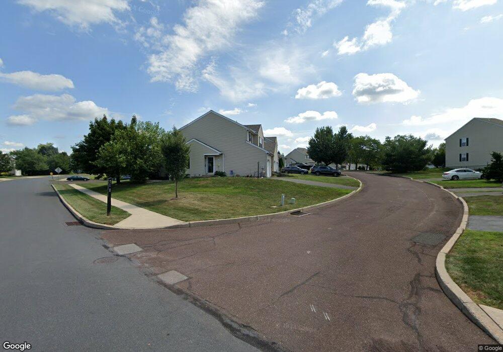
1161 Hill Rd Lansdale, PA 19446
Upper Gwynedd Township NeighborhoodEstimated Value: $459,000 - $476,525
3
Beds
3
Baths
1,673
Sq Ft
$278/Sq Ft
Est. Value
About This Home
This home is located at 1161 Hill Rd, Lansdale, PA 19446 and is currently estimated at $465,381, approximately $278 per square foot. 1161 Hill Rd is a home located in Montgomery County with nearby schools including Inglewood Elementary School, Penndale Middle School, and North Penn Senior High School.
Ownership History
Date
Name
Owned For
Owner Type
Purchase Details
Closed on
Jan 29, 2004
Sold by
Katz Melvin and Katz Anne
Bought by
Stinson David F
Current Estimated Value
Home Financials for this Owner
Home Financials are based on the most recent Mortgage that was taken out on this home.
Original Mortgage
$188,000
Outstanding Balance
$88,110
Interest Rate
5.82%
Estimated Equity
$377,271
Create a Home Valuation Report for This Property
The Home Valuation Report is an in-depth analysis detailing your home's value as well as a comparison with similar homes in the area
Home Values in the Area
Average Home Value in this Area
Purchase History
| Date | Buyer | Sale Price | Title Company |
|---|---|---|---|
| Stinson David F | $235,000 | -- |
Source: Public Records
Mortgage History
| Date | Status | Borrower | Loan Amount |
|---|---|---|---|
| Open | Stinson David F | $188,000 |
Source: Public Records
Tax History Compared to Growth
Tax History
| Year | Tax Paid | Tax Assessment Tax Assessment Total Assessment is a certain percentage of the fair market value that is determined by local assessors to be the total taxable value of land and additions on the property. | Land | Improvement |
|---|---|---|---|---|
| 2025 | $4,916 | $133,990 | $24,720 | $109,270 |
| 2024 | $4,916 | $133,990 | $24,720 | $109,270 |
| 2023 | $4,686 | $133,990 | $24,720 | $109,270 |
| 2022 | $4,519 | $133,990 | $24,720 | $109,270 |
| 2021 | $4,400 | $133,990 | $24,720 | $109,270 |
| 2020 | $4,286 | $133,990 | $24,720 | $109,270 |
| 2019 | $4,207 | $133,990 | $24,720 | $109,270 |
| 2018 | $4,206 | $133,990 | $24,720 | $109,270 |
| 2017 | $4,030 | $133,990 | $24,720 | $109,270 |
| 2016 | $3,977 | $133,990 | $24,720 | $109,270 |
| 2015 | $3,798 | $133,990 | $24,720 | $109,270 |
| 2014 | $3,798 | $133,990 | $24,720 | $109,270 |
Source: Public Records
Map
Nearby Homes
- 1107 Jarvis Ln
- 1231 Meadowview Cir
- 818 Green St
- 750 Annes Ct
- 846 Fulton Ave
- 1109 Walnut Ln Unit 59
- 630 Perkiomen Ave
- 545 Winding Rd
- 1131 Walnut Ln
- 515 Winding Rd
- 134 State St
- 418 Jefferson St
- 168 Eric Ln
- 108 Hickory Ct
- 340 Central Dr
- 920 Columbia Ave
- 723 Columbia Ave
- 521 Columbia Ave
- 132 Green St
- 1622 Samantha Ct
- 1163 Hill Rd
- 1165 Hill Rd
- 1167 Hill Rd
- 1121 Hill Rd
- 1119 Hill Rd
- 1159 Bloomfield Cir
- 1125 Bloomfield Cir
- 1117 Hill Rd
- 1169 Hill Rd
- 1127 Bloomfield Cir
- 1157 Bloomfield Cir
- 1171 Hill Rd
- 1115 Hill Rd
- 1173 Hill Rd
- 1129 Bloomfield Cir
- 1155 Bloomfield Cir
- 1175 Hill Rd
- 1131 Bloomfield Cir
- 1113 Hill Rd
- 1153 Bloomfield Cir