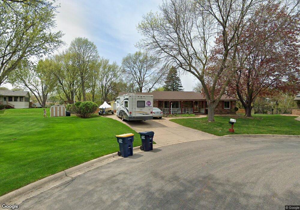
11610 Ravoux Ct Burnsville, MN 55337
Estimated Value: $424,000 - $442,078
4
Beds
3
Baths
1,620
Sq Ft
$266/Sq Ft
Est. Value
About This Home
This home is located at 11610 Ravoux Ct, Burnsville, MN 55337 and is currently estimated at $430,520, approximately $265 per square foot. 11610 Ravoux Ct is a home located in Dakota County with nearby schools including William Byrne Elementary School, Burnsville High School, and Gateway STEM Academy.
Ownership History
Date
Name
Owned For
Owner Type
Purchase Details
Closed on
Oct 11, 2016
Sold by
Peterson Ronnie D and Peterson Bette L
Bought by
Porta Daniel J and Porta Megan M
Current Estimated Value
Home Financials for this Owner
Home Financials are based on the most recent Mortgage that was taken out on this home.
Original Mortgage
$261,155
Outstanding Balance
$209,232
Interest Rate
3.44%
Mortgage Type
New Conventional
Estimated Equity
$221,288
Purchase Details
Closed on
May 15, 2001
Sold by
Kaufman James T and Kaufman Diane M
Bought by
Peterson Ronnie D and Peterson Bette L
Create a Home Valuation Report for This Property
The Home Valuation Report is an in-depth analysis detailing your home's value as well as a comparison with similar homes in the area
Home Values in the Area
Average Home Value in this Area
Purchase History
| Date | Buyer | Sale Price | Title Company |
|---|---|---|---|
| Porta Daniel J | $274,900 | Title Recording Services | |
| Peterson Ronnie D | $194,900 | -- |
Source: Public Records
Mortgage History
| Date | Status | Borrower | Loan Amount |
|---|---|---|---|
| Open | Porta Daniel J | $261,155 |
Source: Public Records
Tax History Compared to Growth
Tax History
| Year | Tax Paid | Tax Assessment Tax Assessment Total Assessment is a certain percentage of the fair market value that is determined by local assessors to be the total taxable value of land and additions on the property. | Land | Improvement |
|---|---|---|---|---|
| 2024 | $4,360 | $406,900 | $96,400 | $310,500 |
| 2023 | $4,360 | $414,300 | $96,500 | $317,800 |
| 2022 | $3,700 | $408,900 | $96,300 | $312,600 |
| 2021 | $3,598 | $348,300 | $83,700 | $264,600 |
| 2020 | $3,624 | $323,100 | $80,100 | $243,000 |
| 2019 | $3,427 | $314,200 | $76,300 | $237,900 |
| 2018 | $3,417 | $284,900 | $72,600 | $212,300 |
| 2017 | $3,176 | $276,300 | $69,200 | $207,100 |
| 2016 | $3,312 | $254,600 | $65,900 | $188,700 |
| 2015 | $3,071 | $240,274 | $57,473 | $182,801 |
| 2014 | -- | $232,535 | $56,184 | $176,351 |
| 2013 | -- | $204,958 | $50,548 | $154,410 |
Source: Public Records
Map
Nearby Homes
- 3017 Mcleod St
- 11459 Galtier Dr
- 4427 Cinnamon Ridge Cir
- 4425 Cinnamon Ridge Cir
- 4463 Cinnamon Ridge Cir
- 4413 Slater Rd
- 11902 River Hills Cir
- 3309 Red Oak Cir N
- 4632 Westwood Ln
- 11036 27th Ave S
- 11921 Baypoint Dr
- 10934 Southview Dr
- 11900 Highland View Cir
- 11017 27th Ave S
- 2200 Horizon Rd
- 4370 Nicols Rd
- 11115 Carver Ct
- 4774 Slater Rd
- 2123 Cliffhill Ln
- 4165 Old Sibley Hwy
- 11608 Ravoux Ct
- 3014 Mcleod St
- 11612 Ravoux Ave
- 3018 Mcleod St
- 3010 Mcleod St
- 11537 River Hills Dr
- 11541 River Hills Dr
- 3100 Mcleod St
- 11533 River Hills Dr
- 11606 Ravoux Ct
- 11604 Ravoux Ave
- 3006 Mcleod St
- 11529 River Hills Dr
- 11617 Ravoux Ave
- 11613 Ravoux Ave
- 11621 Ravoux Ave
- 11600 Ravoux Ave
- 11525 River Hills Dr
- 11609 Ravoux Ave
- 3101 Mcleod St