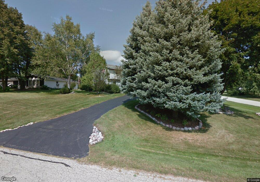
11610 W Shields Dr Franklin, WI 53132
Estimated Value: $422,190 - $471,000
3
Beds
2
Baths
1,890
Sq Ft
$234/Sq Ft
Est. Value
About This Home
This home is located at 11610 W Shields Dr, Franklin, WI 53132 and is currently estimated at $442,298, approximately $234 per square foot. 11610 W Shields Dr is a home located in Milwaukee County with nearby schools including Hales Corners Elementary School, Whitnall Middle School, and Whitnall High School.
Ownership History
Date
Name
Owned For
Owner Type
Purchase Details
Closed on
Feb 5, 2019
Sold by
Hoff James A and Hoff Mary Jo W
Bought by
Hoff James A and Hoff Mary Jo
Current Estimated Value
Purchase Details
Closed on
Nov 6, 1996
Sold by
Byrne Peter F and Byrne Laurie J
Bought by
Hoff James A and Hoff Mary Jo W
Home Financials for this Owner
Home Financials are based on the most recent Mortgage that was taken out on this home.
Original Mortgage
$70,000
Interest Rate
7.73%
Create a Home Valuation Report for This Property
The Home Valuation Report is an in-depth analysis detailing your home's value as well as a comparison with similar homes in the area
Home Values in the Area
Average Home Value in this Area
Purchase History
| Date | Buyer | Sale Price | Title Company |
|---|---|---|---|
| Hoff James A | -- | None Available | |
| Hoff James A | $142,500 | -- |
Source: Public Records
Mortgage History
| Date | Status | Borrower | Loan Amount |
|---|---|---|---|
| Previous Owner | Hoff James A | $70,000 |
Source: Public Records
Tax History
| Year | Tax Paid | Tax Assessment Tax Assessment Total Assessment is a certain percentage of the fair market value that is determined by local assessors to be the total taxable value of land and additions on the property. | Land | Improvement |
|---|---|---|---|---|
| 2024 | $2,539 | -- | -- | -- |
| 2023 | $5,212 | $346,600 | $71,000 | $275,600 |
| 2022 | $5,414 | $286,000 | $71,000 | $215,000 |
| 2021 | $5,165 | $249,600 | $66,700 | $182,900 |
| 2020 | $4,818 | $0 | $0 | $0 |
| 2019 | $6,028 | $265,900 | $66,700 | $199,200 |
| 2018 | $5,089 | $0 | $0 | $0 |
| 2017 | $5,382 | $224,100 | $66,700 | $157,400 |
| 2015 | -- | $200,200 | $61,400 | $138,800 |
| 2013 | -- | $200,200 | $61,400 | $138,800 |
Source: Public Records
Map
Nearby Homes
- 6751 S 111th St
- S66W12582 Somerset Dr
- 6749 S Prairie Wood Ln
- 6741 S Prairie Wood Ln
- 11931 W Janesville Rd
- 11801 W Janesville Rd
- 10464 W Whitnall Edge Dr Unit 203
- S68W12977 Camilla Dr
- S67W13014 Larkspur Rd
- 10259 W Whitnall Edge Dr Unit 103
- 5820 S 124th St
- 11386 W Tess Creek St
- 11396 W Tess Creek St
- S63W13464 Windsor Rd
- W135S6493 Windsor Rd
- 6180 Preston Ln
- 11817 W Grange Ave
- W137S6940 Clarendon Place
- Lt31 S Lory Ln
- 12135 W Luther Ave
- 11615 W Shields Dr
- 11635 W Shields Dr
- 11630 W Shields Dr
- 11570 W Shields Dr
- 11575 W Shields Dr
- 11655 W Shields Dr
- 11650 W Shields Dr
- 11545 W Shields Dr
- 11550 W Shields Dr
- 11715 W Shields Dr
- 11710 W Shields Dr
- 11535 W Shields Dr
- 11735 W Shields Dr
- 11730 W Shields Dr
- 11611 W James Ave
- 11600 W Woods Rd
- 11530 W Shields Dr
- 11660 W Woods Rd
- 11625 W James Ave
- 11616 W James Ave
Your Personal Tour Guide
Ask me questions while you tour the home.