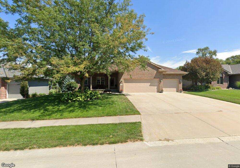
11611 S 198th St Gretna, NE 68028
Estimated Value: $449,214 - $520,000
2
Beds
4
Baths
1,747
Sq Ft
$276/Sq Ft
Est. Value
About This Home
This home is located at 11611 S 198th St, Gretna, NE 68028 and is currently estimated at $481,804, approximately $275 per square foot. 11611 S 198th St is a home located in Sarpy County with nearby schools including Squire John Thomas Elementary School, Gretna Middle School, and Gretna High School.
Ownership History
Date
Name
Owned For
Owner Type
Purchase Details
Closed on
Nov 17, 2020
Sold by
Stephany Sheri L
Bought by
Sheri L Stephany Revocable Trust and Stephany
Current Estimated Value
Purchase Details
Closed on
Nov 27, 2006
Sold by
Mccaul Jeff and Mccaul Brenda
Bought by
Stephany Curtis J and Stephany Sheri L
Home Financials for this Owner
Home Financials are based on the most recent Mortgage that was taken out on this home.
Original Mortgage
$209,450
Interest Rate
6.37%
Purchase Details
Closed on
Aug 14, 2006
Sold by
Mccune Development Llc
Bought by
Mccaul Jeff and Mccaul Contracting
Create a Home Valuation Report for This Property
The Home Valuation Report is an in-depth analysis detailing your home's value as well as a comparison with similar homes in the area
Home Values in the Area
Average Home Value in this Area
Purchase History
| Date | Buyer | Sale Price | Title Company |
|---|---|---|---|
| Sheri L Stephany Revocable Trust | -- | None Listed On Document | |
| Stephany Curtis J | $262,000 | Dakota Title & Escrow Co | |
| Mccaul Jeff | $36,000 | Nlta |
Source: Public Records
Mortgage History
| Date | Status | Borrower | Loan Amount |
|---|---|---|---|
| Previous Owner | Stephany Curtis J | $209,450 |
Source: Public Records
Tax History Compared to Growth
Tax History
| Year | Tax Paid | Tax Assessment Tax Assessment Total Assessment is a certain percentage of the fair market value that is determined by local assessors to be the total taxable value of land and additions on the property. | Land | Improvement |
|---|---|---|---|---|
| 2025 | $7,258 | $419,148 | $76,000 | $343,148 |
| 2024 | $7,490 | $402,660 | $70,000 | $332,660 |
| 2023 | $7,490 | $348,479 | $50,000 | $298,479 |
| 2022 | $7,322 | $320,860 | $45,000 | $275,860 |
| 2021 | $4,708 | $256,998 | $40,000 | $216,998 |
| 2020 | $6,596 | $251,647 | $40,000 | $211,647 |
| 2019 | $6,757 | $248,826 | $38,000 | $210,826 |
| 2018 | $6,657 | $241,778 | $38,000 | $203,778 |
| 2017 | $6,612 | $239,748 | $38,000 | $201,748 |
| 2016 | $6,407 | $233,185 | $38,000 | $195,185 |
| 2015 | $6,112 | $223,722 | $35,000 | $188,722 |
| 2014 | $6,002 | $221,135 | $35,000 | $186,135 |
| 2012 | -- | $216,868 | $35,000 | $181,868 |
Source: Public Records
Map
Nearby Homes
- 19819 Sherwood Cir
- 19905 Maple St
- 19910 Oak St
- 434 Devonshire Dr
- 11719 S 203rd St
- 11606 S 191st Ave
- 11512 S 191st Ave
- 19120 Murray Trail
- 19122 Fir St
- 22111 Hackberry Dr
- 19109 Murray Trail
- 11535 S 191st St
- 19016 Hazelnut Dr
- 20717 Frances St
- 206 E Westplains Rd
- 11280 S 200th Ave
- 19017 Acorn Dr
- 18207 Acorn Dr
- 18907 Devonshire Dr
- 11647 Willow Park Dr