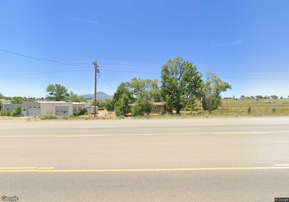
11617 Highway 491 Cortez, CO 81321
Estimated Value: $318,000
2
Beds
1
Bath
1,932
Sq Ft
$165/Sq Ft
Est. Value
About This Home
This home is located at 11617 Highway 491, Cortez, CO 81321 and is currently priced at $318,000, approximately $164 per square foot. 11617 Highway 491 is a home located in Montezuma County with nearby schools including Montezuma-Cortez High School.
Ownership History
Date
Name
Owned For
Owner Type
Purchase Details
Closed on
Apr 16, 2010
Sold by
Bates Charles and Suckla Toni R
Bought by
Bair Mariah Christine
Current Estimated Value
Home Financials for this Owner
Home Financials are based on the most recent Mortgage that was taken out on this home.
Original Mortgage
$135,530
Outstanding Balance
$105,518
Interest Rate
4.9%
Mortgage Type
Unknown
Purchase Details
Closed on
Jan 24, 2007
Sold by
Bates Charles and Bates Toni R
Bought by
Bates Charles and Bates Toni R
Purchase Details
Closed on
Jun 4, 1999
Sold by
Cundiff Ray
Bought by
Bates Charles and Bates Toni R
Create a Home Valuation Report for This Property
The Home Valuation Report is an in-depth analysis detailing your home's value as well as a comparison with similar homes in the area
Home Values in the Area
Average Home Value in this Area
Purchase History
| Date | Buyer | Sale Price | Title Company |
|---|---|---|---|
| Bair Mariah Christine | $135,500 | Colorado Land Title Co | |
| Bates Charles | -- | Basin Title | |
| Bates Charles | $52,800 | -- | |
| Cundiff Ray | $52,800 | -- |
Source: Public Records
Mortgage History
| Date | Status | Borrower | Loan Amount |
|---|---|---|---|
| Open | Bair Mariah Christine | $135,530 |
Source: Public Records
Tax History Compared to Growth
Tax History
| Year | Tax Paid | Tax Assessment Tax Assessment Total Assessment is a certain percentage of the fair market value that is determined by local assessors to be the total taxable value of land and additions on the property. | Land | Improvement |
|---|---|---|---|---|
| 2024 | $749 | $14,523 | $3,364 | $11,159 |
| 2023 | $749 | $18,901 | $4,378 | $14,523 |
| 2022 | $700 | $14,403 | $3,184 | $11,219 |
| 2021 | $712 | $14,403 | $3,184 | $11,219 |
| 2020 | $561 | $11,755 | $3,184 | $8,571 |
| 2019 | $560 | $11,755 | $3,184 | $8,571 |
| 2018 | $613 | $11,130 | $2,880 | $8,250 |
| 2017 | $606 | $11,130 | $2,880 | $8,250 |
| 2016 | $626 | $11,740 | $3,180 | $8,560 |
| 2015 | $618 | $171,040 | $0 | $0 |
| 2014 | $603 | $11,740 | $0 | $0 |
Source: Public Records
Map
Nearby Homes
- 11909 Road 24.3
- 23488 County Road M
- 24315 Road K 7
- TBD Road 24 4 Loop
- 12336 Road 23 25 Loop
- 10377 Road 23 5
- Tract 11 N Broadway
- Tract 5 Road K 3
- Tract 6 Road K 3
- Tract 1 Road K 3
- 12868 Road 24 4
- Tract 7 Road K 3
- 22548 M Rd
- 12936 Road 24 4
- 12665 Road 23
- 24620 Road N
- 0 Tbd Road 22 6 Lot 8 Unit 829156
- Tract 10 Road K 3
- 0 Tbd Road 22 6 Lot 10 Unit 829159
- TBD Lebanon Rd
- 11887 Road 24 6
- 11607 Hwy 491
- 11607 Highway 491
- 11576 Road 24
- 11580 Highway 491
- 11727 Highway 491
- 11810 Highway 491
- 0 Road L 5 Unit 599673
- 11816 Highway 491
- 11311 Road 24
- 11300 Road 24
- 11863 Highway 491
- 24122 Road L
- 11747 Road 24.3
- 11794 Road 24 1
- 11263 Road 24
- 10689 Road 24.4 Unit 4
- 10689 Road 24.4 Unit 5
- 10689 Road 24.4 Unit 5
- 11332 Highway 491