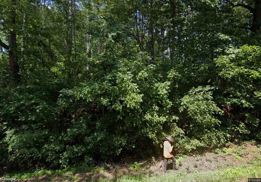
11620 Highway 136 W Talking Rock, GA 30175
Estimated Value: $132,739 - $471,000
--
Bed
--
Bath
1,536
Sq Ft
$193/Sq Ft
Est. Value
About This Home
This home is located at 11620 Highway 136 W, Talking Rock, GA 30175 and is currently estimated at $295,685, approximately $192 per square foot. 11620 Highway 136 W is a home located in Pickens County with nearby schools including Hill City Elementary School, Pickens County Middle School, and Pickens County High School.
Ownership History
Date
Name
Owned For
Owner Type
Purchase Details
Closed on
Oct 18, 2012
Sold by
Jones Linda Silver
Bought by
Jones Christopher Robert
Current Estimated Value
Purchase Details
Closed on
Jan 9, 2004
Sold by
Rich Gary G
Bought by
Jones Linda Silver
Purchase Details
Closed on
Feb 24, 1993
Bought by
Blankenship Okey
Purchase Details
Closed on
Mar 5, 1982
Bought by
Richards Geneieve
Purchase Details
Closed on
Jan 1, 1981
Bought by
Pender Mary N and Searcy Verna S
Create a Home Valuation Report for This Property
The Home Valuation Report is an in-depth analysis detailing your home's value as well as a comparison with similar homes in the area
Home Values in the Area
Average Home Value in this Area
Purchase History
| Date | Buyer | Sale Price | Title Company |
|---|---|---|---|
| Jones Christopher Robert | $39,000 | -- | |
| Jones Linda Silver | $38,000 | -- | |
| Blankenship Okey | $20,000 | -- | |
| Rich Gary | -- | -- | |
| Richards Geneieve | -- | -- | |
| Pender Mary N | -- | -- |
Source: Public Records
Tax History Compared to Growth
Tax History
| Year | Tax Paid | Tax Assessment Tax Assessment Total Assessment is a certain percentage of the fair market value that is determined by local assessors to be the total taxable value of land and additions on the property. | Land | Improvement |
|---|---|---|---|---|
| 2024 | $480 | $29,279 | $7,550 | $21,729 |
| 2023 | $494 | $29,279 | $7,550 | $21,729 |
| 2022 | $494 | $29,279 | $7,550 | $21,729 |
| 2021 | $529 | $29,279 | $7,550 | $21,729 |
| 2020 | $545 | $29,279 | $7,550 | $21,729 |
| 2019 | $557 | $29,279 | $7,550 | $21,729 |
| 2018 | $563 | $29,279 | $7,550 | $21,729 |
| 2017 | $572 | $29,279 | $7,550 | $21,729 |
| 2016 | $574 | $28,988 | $7,259 | $21,729 |
| 2015 | $561 | $28,988 | $7,259 | $21,729 |
| 2014 | $562 | $28,988 | $7,259 | $21,729 |
| 2013 | -- | $28,988 | $7,258 | $21,729 |
Source: Public Records
Map
Nearby Homes
- 348 Ruby Ridge Dr
- 606 Keetor Rd
- 220 Friendship Trail
- 198 Log Round Mountain Trail
- 586 Log Round Mountain Trail
- 233 Old Post Trail
- 0 Old Post Trail Unit 7582552
- 0 Crayfish Place Unit 7635412
- 0 Crayfish Place Unit 10587589
- 0 Crayfish Place Unit 10437551
- 0 Crayfish Place Unit 7506743
- Lot 274 Canoe Way
- 606 Ball Creek Rd N
- 82 Barrel Knot Ct
- LT 62 Seven Mile Creek Rd
- 1624 Shady Grove Church Rd
- 284 Wildcat Creek Rd
- 59 Seven Mile Creek Rd
- Lot 04 Blalock Mountain Rd
- 0 Vista Creek Dr Unit 10598659
- 11664 Highway 136 W
- 11716 Highway 136 W
- 11635 Highway 136 W
- 11480 Highway 136 W
- 11701 Highway 136 W
- 11482 Highway 136 W
- 11826 Highway 136 W
- 11821 Highway 136 W
- 11821 Highway 136 W
- 197 Wright Rd
- 201 Wright Rd
- 263 Wright Rd
- 115 Buckner Way
- 11849 Highway 136 W
- 11395 Highway 136 W
- 756 Shyers Ford Rd
- 00 Wright Rd
- 11855 Highway 136 W
- 60 Buckner Way
- 2 Acre 136 Highway 136 Connector
