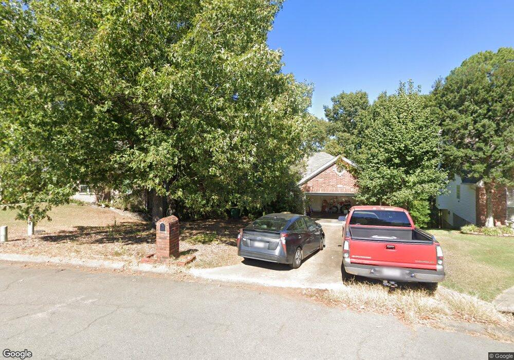
11620 Shady Ridge Dr Little Rock, AR 72211
Western Little Rock NeighborhoodEstimated Value: $281,000 - $321,000
--
Bed
2
Baths
2,278
Sq Ft
$131/Sq Ft
Est. Value
About This Home
This home is located at 11620 Shady Ridge Dr, Little Rock, AR 72211 and is currently estimated at $298,773, approximately $131 per square foot. 11620 Shady Ridge Dr is a home located in Pulaski County with nearby schools including Terry Elementary School, Henderson Middle School, and Pinnacle View Middle School.
Ownership History
Date
Name
Owned For
Owner Type
Purchase Details
Closed on
Apr 17, 2001
Sold by
Sheffield Eric B and Sheffield Linda
Current Estimated Value
Purchase Details
Closed on
Jan 28, 1997
Sold by
Jon Staton Construction Company
Bought by
Sheffield Eric B
Home Financials for this Owner
Home Financials are based on the most recent Mortgage that was taken out on this home.
Original Mortgage
$99,000
Interest Rate
7.73%
Mortgage Type
Purchase Money Mortgage
Create a Home Valuation Report for This Property
The Home Valuation Report is an in-depth analysis detailing your home's value as well as a comparison with similar homes in the area
Home Values in the Area
Average Home Value in this Area
Purchase History
| Date | Buyer | Sale Price | Title Company |
|---|---|---|---|
| -- | $152,000 | -- | |
| Sheffield Eric B | $130,000 | Beach Abstract & Guaranty Co |
Source: Public Records
Mortgage History
| Date | Status | Borrower | Loan Amount |
|---|---|---|---|
| Previous Owner | Sheffield Eric B | $99,000 |
Source: Public Records
Tax History Compared to Growth
Tax History
| Year | Tax Paid | Tax Assessment Tax Assessment Total Assessment is a certain percentage of the fair market value that is determined by local assessors to be the total taxable value of land and additions on the property. | Land | Improvement |
|---|---|---|---|---|
| 2025 | $2,894 | $51,803 | $4,000 | $47,803 |
| 2024 | $2,894 | $51,803 | $4,000 | $47,803 |
| 2023 | $2,894 | $51,803 | $4,000 | $47,803 |
| 2022 | $2,894 | $51,803 | $4,000 | $47,803 |
| 2021 | $2,914 | $41,340 | $7,000 | $34,340 |
| 2020 | $2,519 | $41,340 | $7,000 | $34,340 |
| 2019 | $2,519 | $41,340 | $7,000 | $34,340 |
| 2018 | $2,544 | $41,340 | $7,000 | $34,340 |
| 2017 | $2,544 | $41,340 | $7,000 | $34,340 |
| 2016 | $2,586 | $41,940 | $6,720 | $35,220 |
| 2015 | $2,940 | $41,940 | $6,720 | $35,220 |
| 2014 | $2,940 | $41,940 | $6,720 | $35,220 |
Source: Public Records
Map
Nearby Homes
- 2 Cottonwood Ct
- 10 Summerhill Ct
- 14304 Ridgewood Dr
- 00 S Shackleford Rd
- 11612 Shady Creek Dr
- 2101 Hickorynut Ct
- 11701 Shady Creek Dr
- 11209 Hickory Hill Rd
- 2623 Bowman Rd
- 3818 S Shackleford Rd
- 12425 Brodie Creek Trail
- 2001 Brookford Dr
- 2806 Woodsgate Dr
- 12400 Cherry Laurel Dr
- 12601 Misty Creek Dr
- 2820 Mossy Creek Dr
- 2815 Mossy Creek Dr
- 2905 Woodsgate Dr
- 2825 Mossy Creek Dr
- 1707 Point Dr W
- 11700 Shady Ridge Dr
- 11618 Shady Ridge Dr
- 11704 Shady Ridge Dr
- 11616 Shady Ridge Dr
- 11706 Shady Ridge Dr
- 11708 Shady Ridge Dr
- 11614 Shady Ridge Dr
- 11621 Shady Ridge Dr
- 11617 Shady Ridge Dr
- 0 Shady Ridge Unit 16009222
- 11623 Shady Ridge Dr
- 11625 Shady Ridge Dr
- 11703 Shady Ridge Dr
- 11610 Shady Ridge Dr
- 11615 Shady Ridge Dr
- 11705 Shady Ridge Dr
- 11707 Shady Ridge Dr
- 11608 Shady Ridge Dr
- 11711 Shady Ridge Dr
- 11714 Shady Ridge Dr