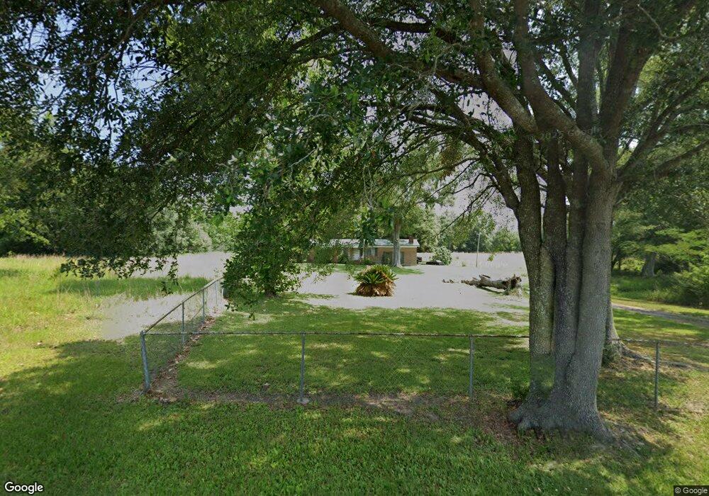
11621 Bertis White Rd Lucedale, MS 39452
Estimated Value: $222,492 - $294,000
--
Bed
2
Baths
1,655
Sq Ft
$158/Sq Ft
Est. Value
About This Home
This home is located at 11621 Bertis White Rd, Lucedale, MS 39452 and is currently estimated at $261,497, approximately $158 per square foot. 11621 Bertis White Rd is a home located in Jackson County with nearby schools including East Central Lower Elementary School, East Central Upper Elementary School, and East Central Middle School.
Ownership History
Date
Name
Owned For
Owner Type
Purchase Details
Closed on
Sep 20, 2024
Sold by
Miller Heidi Pearl Conceil and Tidmore Travis Lane
Bought by
Seward Steven
Current Estimated Value
Purchase Details
Closed on
May 7, 2024
Sold by
Salter Hixson Annie Marie
Bought by
Miller Heidi Pearl Voncei and Tidmore Travis Lane
Create a Home Valuation Report for This Property
The Home Valuation Report is an in-depth analysis detailing your home's value as well as a comparison with similar homes in the area
Home Values in the Area
Average Home Value in this Area
Purchase History
| Date | Buyer | Sale Price | Title Company |
|---|---|---|---|
| Seward Steven | -- | Island Winds Title | |
| Seward Steven | -- | Island Winds Title | |
| Miller Heidi Pearl Voncei | -- | Island Winds Title | |
| Miller Heidi Pearl Voncei | -- | Island Winds Title |
Source: Public Records
Tax History Compared to Growth
Tax History
| Year | Tax Paid | Tax Assessment Tax Assessment Total Assessment is a certain percentage of the fair market value that is determined by local assessors to be the total taxable value of land and additions on the property. | Land | Improvement |
|---|---|---|---|---|
| 2024 | $2,459 | $20,483 | $4,917 | $15,566 |
| 2023 | $2,459 | $20,483 | $4,917 | $15,566 |
| 2022 | $2,389 | $20,483 | $4,917 | $15,566 |
| 2021 | $2,399 | $20,579 | $4,917 | $15,662 |
| 2020 | $2,279 | $18,865 | $4,553 | $14,312 |
| 2019 | $607 | $12,576 | $3,035 | $9,541 |
| 2018 | $618 | $12,576 | $3,035 | $9,541 |
| 2017 | $629 | $12,576 | $3,035 | $9,541 |
| 2016 | $604 | $12,576 | $3,035 | $9,541 |
| 2015 | $506 | $117,310 | $30,350 | $86,960 |
| 2014 | $497 | $11,731 | $3,035 | $8,696 |
| 2013 | $480 | $11,731 | $3,035 | $8,696 |
Source: Public Records
Map
Nearby Homes
- 1809 Homestead Ln
- 1870 Homestead Ln
- 15220 Roland Davis Rd N
- 4475 Wilmer Dr
- 0 Wilmer Rd S Unit 18172198
- 0 Wilmer Rd S Unit 362443
- 25960 Yellow Bluff Rd
- 13580 Laco Cooper Rd
- 0 S Grand Bay Wilmer Rd Unit 22030741
- 13051 Tanner Williams Rd
- 0 Baxter Rd
- 1103 Tannertown Rd
- 0 Tanner Williams Rd -Parcel 8
- 1233 Tannertown Rd
- 0 Tanner Williams Rd -Parcel 1
- 0 Amberwood Ln
- 6118 Mississippi 612
- 0 Tanner Williams Unit 4124647
- 23ac Hinton Rd
- 5035 Albert Evans Rd Unit 2
- 11600 Bertis White Rd
- 26701 State Line Rd
- 26605 State Line Rd
- 26571 State Line Rd
- 26551 State Line Rd
- 15480 Brown Loop Rd N
- 15460 Brown Loop Rd N
- 15425 Brown Loop Rd N
- 26405 State Line Rd
- 26425 State Line Rd
- 15395 Brown Loop Rd N
- 15360 Brown Loop Rd N
- 26301 State Line Rd
- 15229 Brown Loop Rd N
- 1600 State Line Rd N
- 26201 State Line Rd
- 15350 Brown Loop Rd N
- 15225 Brown Loop Rd N
- 15209 Brown Loop Rd N
- 15190 Brown Loop Rd N