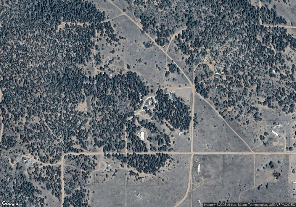
1163 L Path Cotopaxi, CO 81223
Estimated Value: $216,000 - $311,000
3
Beds
2
Baths
1,296
Sq Ft
$210/Sq Ft
Est. Value
About This Home
This home is located at 1163 L Path, Cotopaxi, CO 81223 and is currently estimated at $272,333, approximately $210 per square foot. 1163 L Path is a home located in Fremont County with nearby schools including Cotopaxi Elementary School and Cotopaxi Junior/Senior High School.
Ownership History
Date
Name
Owned For
Owner Type
Purchase Details
Closed on
Nov 19, 2014
Sold by
Morrow Harold E and Dixon Tammy Lou
Bought by
Morrow Harold E and Morrow Rosalee
Current Estimated Value
Purchase Details
Closed on
Oct 26, 2007
Sold by
Holt Raymond D
Bought by
Morrow Harold E and Dixon Tammy Lou
Home Financials for this Owner
Home Financials are based on the most recent Mortgage that was taken out on this home.
Original Mortgage
$99,107
Outstanding Balance
$62,511
Interest Rate
6.32%
Mortgage Type
Unknown
Estimated Equity
$209,822
Purchase Details
Closed on
Mar 12, 2007
Sold by
Citifinancial Mortgage Co Inc
Bought by
Holt Raymond D
Home Financials for this Owner
Home Financials are based on the most recent Mortgage that was taken out on this home.
Original Mortgage
$53,795
Interest Rate
6.19%
Mortgage Type
FHA
Purchase Details
Closed on
Jul 10, 2006
Sold by
Stewart Robert L and Stewart Laura A
Bought by
Citifinancial Mortgage Co Inc
Create a Home Valuation Report for This Property
The Home Valuation Report is an in-depth analysis detailing your home's value as well as a comparison with similar homes in the area
Purchase History
| Date | Buyer | Sale Price | Title Company |
|---|---|---|---|
| Morrow Harold E | -- | None Available | |
| Morrow Harold E | $83,500 | Security Title | |
| Holt Raymond D | $59,900 | None Available | |
| Citifinancial Mortgage Co Inc | -- | None Available |
Source: Public Records
Mortgage History
| Date | Status | Borrower | Loan Amount |
|---|---|---|---|
| Open | Morrow Harold E | $99,107 | |
| Previous Owner | Holt Raymond D | $53,795 |
Source: Public Records
Tax History
| Year | Tax Paid | Tax Assessment Tax Assessment Total Assessment is a certain percentage of the fair market value that is determined by local assessors to be the total taxable value of land and additions on the property. | Land | Improvement |
|---|---|---|---|---|
| 2024 | $314 | $13,241 | $0 | $0 |
| 2023 | $221 | $9,136 | $0 | $0 |
| 2022 | $185 | $7,971 | $0 | $0 |
| 2021 | $186 | $8,200 | $0 | $0 |
| 2020 | $150 | $6,744 | $0 | $0 |
| 2019 | $150 | $6,744 | $0 | $0 |
| 2018 | $129 | $5,773 | $0 | $0 |
| 2017 | $129 | $5,773 | $0 | $0 |
| 2016 | $120 | $5,390 | $0 | $0 |
| 2015 | $240 | $5,390 | $0 | $0 |
| 2012 | $119 | $5,772 | $796 | $4,976 |
Source: Public Records
Map
Nearby Homes
- 739 17th Trail
- 000 K Path
- 0 21st Trail Unit REC1871091
- 2176 L Path
- xx 22nd Trail
- 1839 15th Trail
- 863 15th Trail
- TBD 24th Trail
- 1739 17th Trail
- 1738 12th Trail
- TBD 12th Trail
- 1738 12th Trail Unit 76007520
- TBD 25th Trail
- 2125 J Path
- 2576 L Path
- 1446 13th Trail
- 763 17th Trail
- 763 15th Trail
- 1971 County Road 27a
- TBD County Road 27a
- 1162 18th Trail
- 1163 19th Trail
- 1825 L Path
- 1139 18th Trail
- 1139 18th Trail Unit n/a
- 1875 L Path
- 1138 19th Trail
- 820 L Path
- 1213 Trail 18th
- 1213 18th Trail
- 1113 19th Trail
- 1212 19th Trail
- 739 17th Trail Unit 63
- 0 19th Trail Unit 1644992
- 0 19th Trail Unit 31075
- 0 19th Trail Unit 30820
- 0 19th Trail Unit 35688
- 0 19th Trail Unit 32571
- 0 19th Trail Unit 36911
- 0 19th Trail Unit 47897
