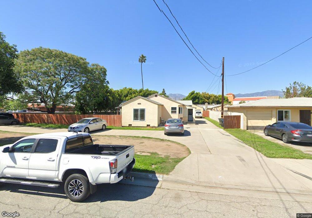
11635 Forest Grove St El Monte, CA 91732
Norwood Cherrylee NeighborhoodEstimated Value: $876,000 - $969,000
3
Beds
2
Baths
1,510
Sq Ft
$607/Sq Ft
Est. Value
About This Home
This home is located at 11635 Forest Grove St, El Monte, CA 91732 and is currently estimated at $916,061, approximately $606 per square foot. 11635 Forest Grove St is a home located in Los Angeles County with nearby schools including Durfee School, Arroyo High School, and Mountain View High.
Ownership History
Date
Name
Owned For
Owner Type
Purchase Details
Closed on
Jun 18, 2024
Sold by
Almaraz Roberto
Bought by
American Tr
Current Estimated Value
Purchase Details
Closed on
Mar 20, 2018
Sold by
Salcido Paulino N
Bought by
Choto Oscar Armando and Castillo Cesar Enrique
Home Financials for this Owner
Home Financials are based on the most recent Mortgage that was taken out on this home.
Original Mortgage
$555,809
Interest Rate
4.37%
Mortgage Type
FHA
Create a Home Valuation Report for This Property
The Home Valuation Report is an in-depth analysis detailing your home's value as well as a comparison with similar homes in the area
Home Values in the Area
Average Home Value in this Area
Purchase History
We collect this data history from publicly available records. To have your information removed, we recommend requesting removal directly through your county’s website.
| Date | Buyer | Sale Price | Title Company |
|---|---|---|---|
| American Tr | -- | None Listed On Document | |
| Choto Oscar Armando | $575,000 | Fidelity National Title Comp |
Source: Public Records
Mortgage History
We collect this data history from publicly available records. To have your information removed, we recommend requesting removal directly through your county’s website.
| Date | Status | Borrower | Loan Amount |
|---|---|---|---|
| Previous Owner | Choto Oscar Armando | $555,809 |
Source: Public Records
Tax History
| Year | Tax Paid | Tax Assessment Tax Assessment Total Assessment is a certain percentage of the fair market value that is determined by local assessors to be the total taxable value of land and additions on the property. | Land | Improvement |
|---|---|---|---|---|
| 2025 | $11,442 | $777,185 | $541,216 | $235,969 |
| 2024 | $10,607 | $761,947 | $530,604 | $231,343 |
| 2023 | $10,397 | $747,007 | $520,200 | $226,807 |
| 2022 | $10,009 | $732,360 | $510,000 | $222,360 |
| 2021 | $8,649 | $604,426 | $481,229 | $123,197 |
| 2020 | $8,625 | $598,229 | $476,295 | $121,934 |
| 2019 | $8,828 | $586,500 | $466,956 | $119,544 |
| 2018 | $965 | $41,528 | $22,381 | $19,147 |
| 2016 | $913 | $39,917 | $21,513 | $18,404 |
| 2015 | $900 | $39,318 | $21,190 | $18,128 |
| 2014 | $889 | $38,548 | $20,775 | $17,773 |
Source: Public Records
Map
Nearby Homes
- 3841 Peck Rd
- 11670 Ferris Rd
- 11641 Bryant Rd
- 11363 Medina Ct
- 11829 Ferris Rd Unit C
- 4014 Cedar Ave
- 11855 Ramona Blvd
- 3559 Whistler Ave
- 11238 Forest Grove St
- 11825 Basye St
- 4308 Fandon Ave
- 3479 Whistler Ave
- 3444 Whistler Ave
- 4003 Penn Mar Ave
- 3442 Whistler Ave
- 11875 Exline St Unit A
- 11386 Mcgirk Ave
- 11130 Legion Loop Unit 105
- 11125 Basye St Unit D
- 11175 Legion Loop Unit 110
- 11641 Forest Grove St
- 11657 Forest Grove St
- 11653 Forest Grove St
- 11659 Forest Grove St
- 11656 Forest Grove St
- 3920 Peck Rd
- 11644 Forest Grove St
- 11667 Forest Grove St
- 3948 Peck Rd
- 3948 Peck Rd Unit 7
- 11658 Forest Grove St
- 3944 Peck Rd
- 3944 Peck Rd
- 3948 Peck Rd
- 11662 Forest Grove St
- 3901 Peck Rd
- 11675 Forest Grove St
- 11670 Forest Grove St
- 11666 Forest Grove St
- 11660 Forest Grove St
Your Personal Tour Guide
Ask me questions while you tour the home.