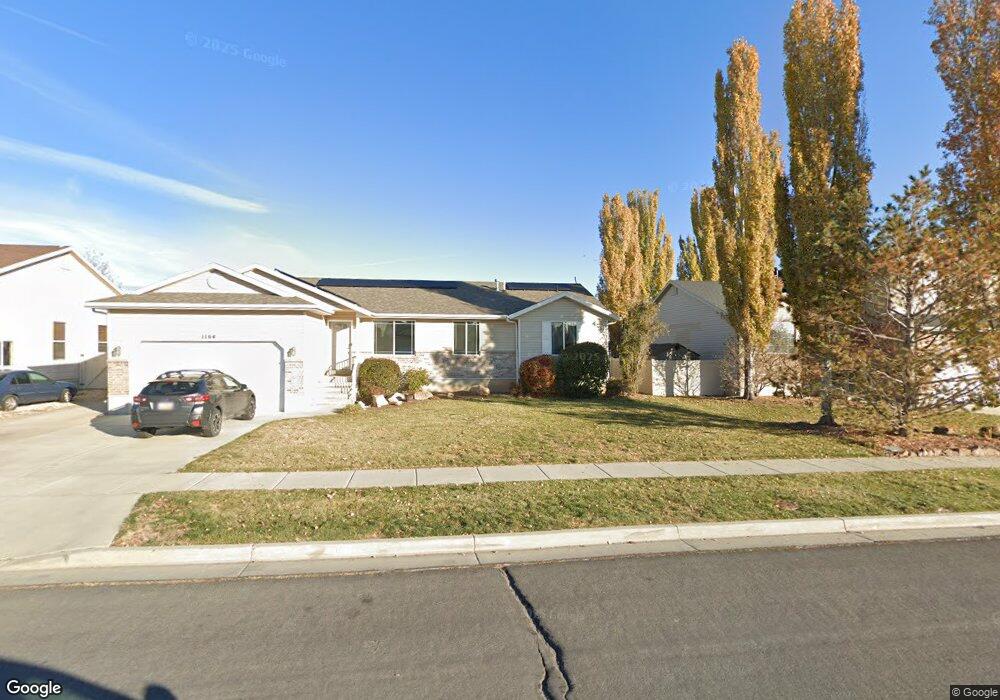
1164 N 2425 W Layton, UT 84041
Estimated Value: $520,000 - $560,000
3
Beds
3
Baths
1,707
Sq Ft
$311/Sq Ft
Est. Value
About This Home
This home is located at 1164 N 2425 W, Layton, UT 84041 and is currently estimated at $531,613, approximately $311 per square foot. 1164 N 2425 W is a home located in Davis County with nearby schools including Ellison Park School, Shoreline Junior High School, and Layton High School.
Ownership History
Date
Name
Owned For
Owner Type
Purchase Details
Closed on
Oct 17, 2025
Sold by
Weir Michael F and Weir Julie A
Bought by
Weir
Current Estimated Value
Purchase Details
Closed on
Oct 13, 2005
Sold by
Weir Michael F
Bought by
Weir Michael F and Weir Julie A
Home Financials for this Owner
Home Financials are based on the most recent Mortgage that was taken out on this home.
Original Mortgage
$33,300
Interest Rate
5.63%
Mortgage Type
Credit Line Revolving
Purchase Details
Closed on
Jun 21, 2004
Sold by
Woodside Homes Corp
Bought by
Weir Michael F
Home Financials for this Owner
Home Financials are based on the most recent Mortgage that was taken out on this home.
Original Mortgage
$167,826
Interest Rate
6.27%
Mortgage Type
FHA
Create a Home Valuation Report for This Property
The Home Valuation Report is an in-depth analysis detailing your home's value as well as a comparison with similar homes in the area
Home Values in the Area
Average Home Value in this Area
Purchase History
| Date | Buyer | Sale Price | Title Company |
|---|---|---|---|
| Weir | -- | Lincoln Title | |
| Weir Michael F | -- | Security Title Of Davis Coun | |
| Weir Michael F | -- | Us Title Of Utah |
Source: Public Records
Mortgage History
| Date | Status | Borrower | Loan Amount |
|---|---|---|---|
| Previous Owner | Weir Michael F | $33,300 | |
| Previous Owner | Weir Michael F | $167,826 |
Source: Public Records
Tax History
| Year | Tax Paid | Tax Assessment Tax Assessment Total Assessment is a certain percentage of the fair market value that is determined by local assessors to be the total taxable value of land and additions on the property. | Land | Improvement |
|---|---|---|---|---|
| 2025 | $2,719 | $285,451 | $106,211 | $179,240 |
| 2024 | $2,767 | $292,599 | $118,446 | $174,153 |
| 2023 | $2,683 | $275,000 | $63,411 | $211,588 |
| 2022 | $2,934 | $540,000 | $133,439 | $406,561 |
| 2021 | $2,551 | $385,000 | $110,122 | $274,878 |
| 2020 | $2,306 | $334,000 | $92,264 | $241,736 |
| 2019 | $2,256 | $320,000 | $95,783 | $224,217 |
| 2018 | $2,044 | $291,000 | $83,884 | $207,116 |
| 2016 | $1,802 | $132,330 | $32,390 | $99,940 |
| 2015 | $1,807 | $126,005 | $32,390 | $93,615 |
| 2014 | $1,739 | $123,969 | $32,390 | $91,579 |
| 2013 | -- | $118,207 | $28,952 | $89,255 |
Source: Public Records
Map
Nearby Homes
- 1186 N 2425 W
- 1141 N 2275 W
- 2144 W 1275 N
- 841 N 2175 W
- 867 N 2125 W
- 1452 N 1875 W Unit 146
- 1876 W 1575 N Unit 237
- 1491 N 1875 W
- 1487 N 1875 W
- 1483 N 1875 W
- 1479 N 1875 W
- 1479 N 1875 W Unit 161
- 1471 N 1875 W
- 1471 N 1875 W Unit 163
- 1558 N 1875 W
- 1558 N 1875 W Unit 245
- 1570 N 1875 W Unit 242
- 1570 N 1875 W
- 1451 N 1875 W Unit 168
- 816 N 2700 W
Your Personal Tour Guide
Ask me questions while you tour the home.