Estimated Value: $247,000 - $1,227,937
3
Beds
2
Baths
1,361
Sq Ft
$443/Sq Ft
Est. Value
About This Home
This home is located at 1164 Wise Rd, Vale, NC 28168 and is currently estimated at $602,646, approximately $442 per square foot. 1164 Wise Rd is a home located in Lincoln County with nearby schools including Union Elementary School, West Lincoln Middle, and West Lincoln High School.
Ownership History
Date
Name
Owned For
Owner Type
Purchase Details
Closed on
Aug 10, 2010
Sold by
The William D Mcconnell & Brenda H Mccon and Mcconnell William D
Bought by
Mcconnell William D and Mcconnell Brenda H
Current Estimated Value
Purchase Details
Closed on
May 24, 2005
Sold by
Mcconnell William D and Mcconnell Brenda H
Bought by
The William D Mcconnell & Brenda H Mccon
Create a Home Valuation Report for This Property
The Home Valuation Report is an in-depth analysis detailing your home's value as well as a comparison with similar homes in the area
Home Values in the Area
Average Home Value in this Area
Purchase History
| Date | Buyer | Sale Price | Title Company |
|---|---|---|---|
| Mcconnell William D | -- | None Available | |
| The William D Mcconnell & Brenda H Mccon | -- | None Available | |
| The William D Mcconnell And Brenda H Mcc | -- | None Available |
Source: Public Records
Tax History
| Year | Tax Paid | Tax Assessment Tax Assessment Total Assessment is a certain percentage of the fair market value that is determined by local assessors to be the total taxable value of land and additions on the property. | Land | Improvement |
|---|---|---|---|---|
| 2025 | $4,632 | $951,188 | $276,725 | $674,463 |
| 2024 | $4,612 | $951,188 | $276,725 | $674,463 |
| 2023 | $4,607 | $951,188 | $276,725 | $674,463 |
| 2022 | $4,284 | $691,489 | $167,377 | $524,112 |
| 2021 | $4,284 | $691,489 | $167,377 | $524,112 |
| 2020 | $4,057 | $691,489 | $167,377 | $524,112 |
| 2019 | $4,057 | $691,489 | $167,377 | $524,112 |
| 2018 | $4,103 | $650,928 | $137,198 | $513,730 |
| 2017 | $4,002 | $650,928 | $137,198 | $513,730 |
| 2016 | $3,812 | $650,928 | $137,198 | $513,730 |
| 2015 | $3,821 | $650,928 | $137,198 | $513,730 |
| 2014 | $1,155 | $274,041 | $145,406 | $128,635 |
Source: Public Records
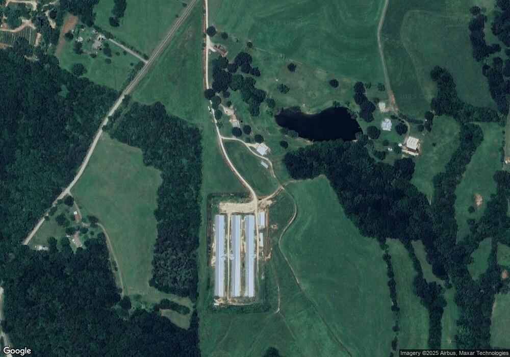
Map
Nearby Homes
- 1855 Jetton Dr
- 1983 Seagletown Rd
- 000 Flag Ln Unit 53
- 3817 Spike Ln
- 00 Wilson Ct Unit 12
- 00 Wilson Ct Unit 13
- 00 Wilson Ct Unit 15
- 3987 W Highway 27
- 142 Alf Hoover Rd
- 2482 June Bug Rd
- 3243 Wilson Ct Unit 11
- 110 Alf Hoover Rd
- 00 Westwinds Rd Unit F3
- 000 Doral Ln
- 00000 Reepsville Rd
- 520 Shoal Rd
- 00 McCurry Farm Ln Unit F1, F2 & F3
- 00 McCurry Farm Ln Unit D
- 7279 Blue Jay Ln
- 0 Green Valley Ct Unit CAR4335220
- 1180 Wise Rd
- 1179 Wise Rd
- 4347 Reepsville Rd
- 1213 Wise Rd
- 1243 Wise Rd
- 1216 Wise Rd
- 1002 Wise Rd
- 1232 Wise Rd
- 1050 Wise Rd
- 4369 Reepsville Rd
- 4407 Reepsville Rd
- 4419 Reepsville Rd
- 4394 Reepsville Rd
- 4408 Reepsville Rd
- 4428 Reepsville Rd
- 4547 Reepsville Rd
- 4438 Reepsville Rd
- 1023 Wise Rd
- 1493 J Rhyne Reep Rd
- 1495 J Rhyne Reep Rd
Your Personal Tour Guide
Ask me questions while you tour the home.